Punakitere River
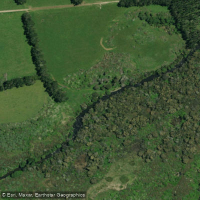
Punakitere River
- Boat Ramps
- 0
- Access Points
- 0
- Campsites
- 0
The Punakitere River is located in the Northland region of New Zealand, flowing westward to join the Taheke River, which in turn feeds into the Waima River and ultimately Hokianga Harbour. The river is generally considered uncanoeable for most of its length, with a Grade 1 classification applying only to a limited accessible section.
The highest practical put-in for canoes and kayaks is at the bridge where Punakitere Road meets Highway 12, from which approximately 8 kilometres of paddleable water is available. This stretch includes a waterfall that would normally require a portage. There is also a bridge on the Kaikohe–Donnelly's Crossing Road that could serve as an alternative access point, but the river below that point flows into a large swampy area that does not provide clear, navigable channels. Below the swamp, the river requires near-flood conditions to be paddleable, and is generally regarded as uncanoeable.
From the Highway 12 bridge put-in, the river meanders through farmland and is lined with willows. Below the main road bridge, the gradient decreases, the current slows, and the river opens into long, shallow pools. Paddlers should be aware of potential willow log-jams in this lower section. The swamplands further downstream lie in open farmland. The overall aesthetic of the river is described as uninspiring, and its recreational value for paddlers is considered low.
There is some swimming near the falls, where the river has a stony or shingle bed and, when running clear, the water is suitable for swimming in places. No specific facilities or amenities for paddlers are noted for this river.
Water access, boat ramps & amenities
Learn how to get on Punakitere River. Uncover great paddling access points, boat ramps, and all the facilities you need for an unforgettable day on the water. Some locations shown may border or include private property. Always check property boundaries and applicable regulations before visiting. PaddleWays's Public & Private Land layer can help you plan your access with confidence.
Paddle smarter with real-time insights
Whether you're en route and conditions shift or you're looking for the best spot based on current flows, we enable you to make informed decisions on the fly.







Northland licenses and regulations
No licenses or regulations available for Northland.
Find Places to Paddle

Over 400,000 Places to Paddle
Every user gets free access to launch points, boat ramps, and public property parcels.


Water and weather conditions (10 day forecast)
See the best times to paddle Punakitere River and check the forecast before you go.
Punakitere at Taheke
Paddling near Punakitere River
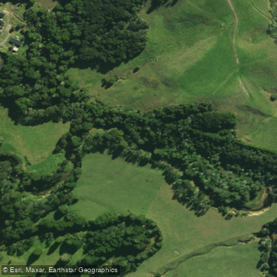
Waitangi River
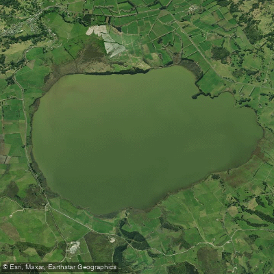
Lake Ōmāpere
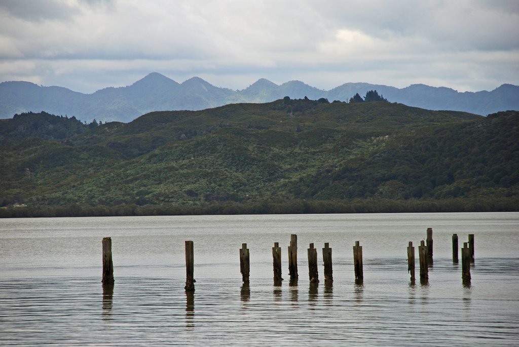
Hokianga Harbour
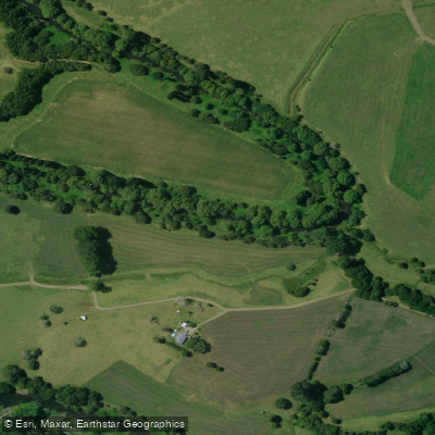
Mangakahia River
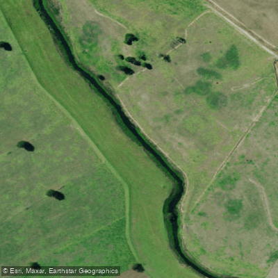
Kaihu River
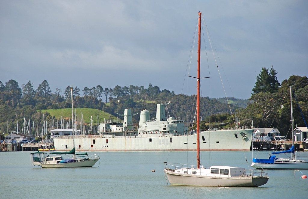
Bay of Islands
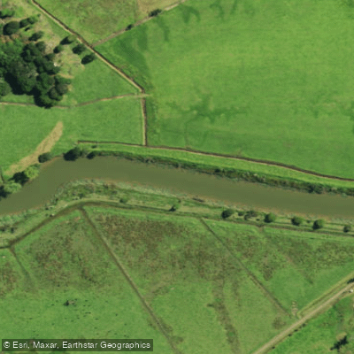
Waimā River
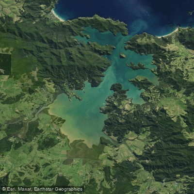
Whangaroa Harbour
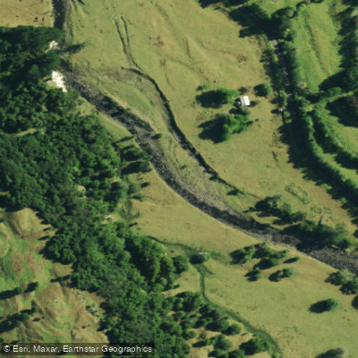
Waimamaku River
Explore Northland waters
Top paddling waters
No waters available right now.
Popular Cities
Loading popular cities...
Explore near Punakitere River

Smarter Paddling Starts in the App.
Paddleways gives you everything you need to plan smarter, paddle better, and own every trip from first launch to takeout.