Baylys Beach
- Saltwater
- Beach
Baylys Beach
- Saltwater
- Beach
- Sq. miles
- 1.2
- Boat Ramps
- 0
- Access Points
- 0
- Campsites
- 1
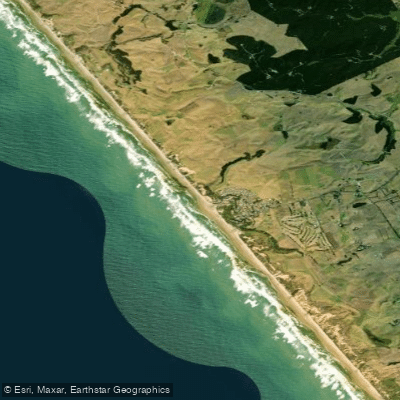
Baylys Beach is a long, west-facing beach on the Tasman Sea, part of the Kaipara District's coastline. It is notable as the country's longest sand beach, offering expansive views and a direct connection to the open ocean. Access for paddlers is via the main beach entrance, where a dedicated boardwalk extension now spans approximately 200 meters, linking the residential area and car park to the sand. This boardwalk, completed in late 2024, includes ramps and handrails, significantly improving pedestrian access and carrying gear to the shoreline. New, accessible toilet facilities are located at the corner of Seaview Road and Ocean View Terrace, near the boardwalk's start. The beach itself is a classic surf beach, exposed to the prevailing westerly winds and swells of the Tasman Sea, which generate surf and shore-break conditions. This exposure makes it a location suited for experienced paddlers comfortable with open coast launches and landings through surf. The area is a hub for community activities, including surf lifesaving, indicating active wave conditions. Vehicle access is permitted on sections of the wider Ripiro Beach, with a 30km/h speed limit enforced near the Baylys Beach entrance, so paddlers should be aware of vehicle traffic when loading or unloading near the access point. The beach provides a launching point for open-water adventures along the coast or out into the vast Kaipara Harbour entrance, with the mighty Kaipara itself being a notable paddling destination known for its scale and variable conditions. The overall vibe is one of a rugged, community-focused coastal settlement where the outdoors is central to daily life.
Water access, boat ramps & amenities
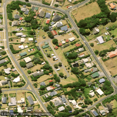
Learn how to get on Baylys Beach. Uncover great paddling access points, boat ramps, and all the facilities you need for an unforgettable day on the water. Some locations shown may border or include private property. Always check property boundaries and applicable regulations before visiting. PaddleWays's Public & Private Land layer can help you plan your access with confidence.
Paddle smarter with real-time insights
Whether you're en route and conditions shift or you're looking for the best spot based on current flows, we enable you to make informed decisions on the fly.







Northland licenses and regulations
No licenses or regulations available for Northland.
Find Places to Paddle

Over 400,000 Places to Paddle
Every user gets free access to launch points, boat ramps, and public property parcels.


Tides, wind & water conditions (10 day forecast)
On open water, wind and tide matter as much as the weather. See the best times to paddle Baylys Beach and check the marine forecast before you launch.
Loading tide predictions…
Paddling near Baylys Beach
Kaihu River
Wairoa River
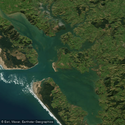
Kaipara Harbour
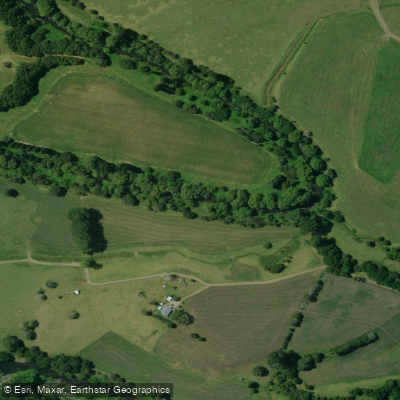
Mangakahia River
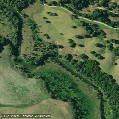
Manganui River
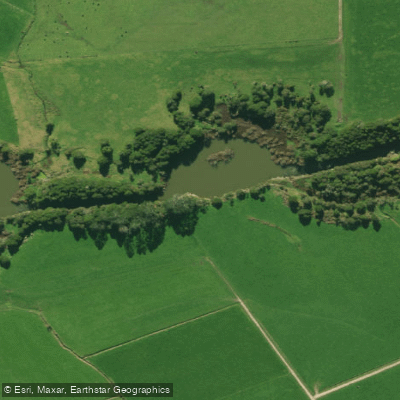
Wairua River
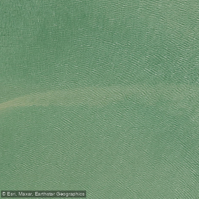
Arapaoa River
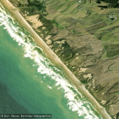
Ripirō Beach
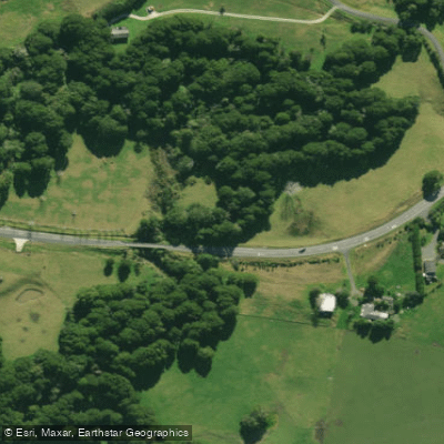
Hakaru River
Explore Northland waters
Top paddling waters
No waters available right now.
Popular Cities
Loading popular cities...
Explore near Baylys Beach
Access points
Nearby waters
More in Northland

Smarter Paddling Starts in the App.
Paddleways gives you everything you need to plan smarter, paddle better, and own every trip from first launch to takeout.