Wairua River
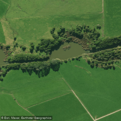
Wairua River
- Boat Ramps
- 0
- Access Points
- 0
- Campsites
- 0
The Wairua River is one of Northland's largest rivers, rising in the hilly country north-west of Whangarei where it is known as the Waiotu. It is joined by several tributaries — including the Mataroa, Kaikonui, Kaimamaku, Waiariki, and Whakapara — before eventually merging with the Mangakahia River to form the Wairoa River. The paddleable section of interest runs approximately 15 kilometres and carries an average gradient of around 2.2 metres per kilometre (1:457).
The character of this stretch is defined by two distinct zones separated by significant waterfalls. Below each of the two waterfalls on this section, the river produces rapids reaching up to Grade 3. The upper rapids are notable enough that the Northland Canoe Club holds its slalom competitions there, drawing competitors from across the North Island. Below the upper rapids lies a large pool, after which the river flattens considerably before reaching the dam at Wairua Falls. The Wairua Falls themselves must be portaged — they are not runnable under normal circumstances — though at least one kayaker has been documented running the approximately 50-foot drop. Below Wairua Falls, further Grade 3 rapids exist, though access to this lower section is described as difficult. Some paddlers who run this lower section tow their canoes back up the hydro channel to the dam in order to re-run the rapids.
The flat water above the dam is large enough for powerboat use, though this section sees little recreational traffic. Access to the river can be gained from several road crossings. Jordan Valley Road off State Highway 1 (approximately 250 metres past the Hikurangi turnoff) leads to a bridge over the river where a marginal strip removes the need for landowner permission. Rushbrook Road provides another crossing with good water both upstream and downstream, though farmer permission is required there. The Ruatangata Road bridge, reached by turning off State Highway 1 near the Kamo Shopping Centre and driving approximately 20 kilometres, offers further access with fishable water in both directions.
The river is open to fishing year-round, unlike most Northland rivers which follow a seasonal 1 October to 30 April schedule, reflecting its status as one of the region's more significant waterways. Water quality has been noted as poor in at least one account describing the river as "dirty."
Water access, boat ramps & amenities
Learn how to get on Wairua River. Uncover great paddling access points, boat ramps, and all the facilities you need for an unforgettable day on the water. Some locations shown may border or include private property. Always check property boundaries and applicable regulations before visiting. PaddleWays's Public & Private Land layer can help you plan your access with confidence.
Paddle smarter with real-time insights
Whether you're en route and conditions shift or you're looking for the best spot based on current flows, we enable you to make informed decisions on the fly.







Northland licenses and regulations
No licenses or regulations available for Northland.
Find Places to Paddle

Over 400,000 Places to Paddle
Every user gets free access to launch points, boat ramps, and public property parcels.


Water and weather conditions (10 day forecast)
See the best times to paddle Wairua River and check the forecast before you go.
Wairua at Purua
All Flow Stations
Paddling near Wairua River
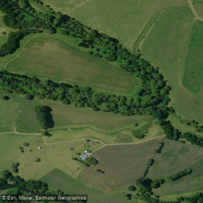
Mangakahia River
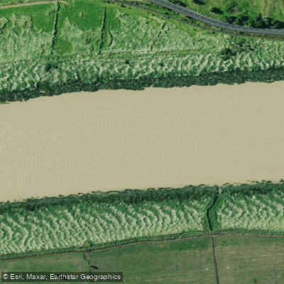
Wairoa River
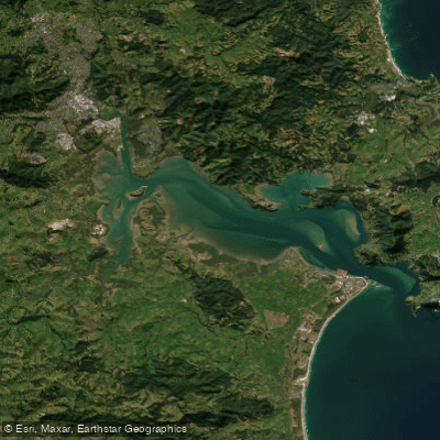
Whangārei Harbour
Ngunguru River
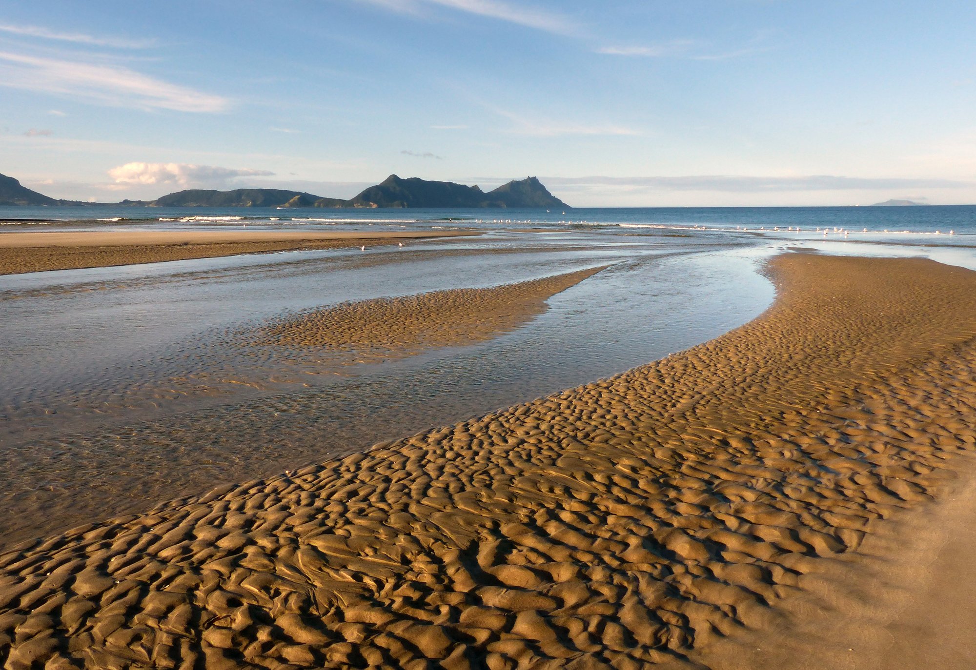
Bream Bay
Kaihu River
Hakaru River
Ngunguru Bay
Waitangi River
Explore Northland waters
Top paddling waters
No waters available right now.
Popular Cities
Loading popular cities...
Explore near Wairua River

Smarter Paddling Starts in the App.
Paddleways gives you everything you need to plan smarter, paddle better, and own every trip from first launch to takeout.