Manganui River
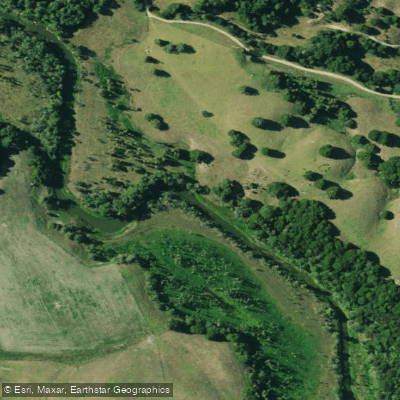
Manganui River
- Boat Ramps
- 0
- Access Points
- 0
- Campsites
- 0
The Manganui River is a 53-kilometre waterway in the Northland Region of New Zealand's North Island. It originates west of Ruakaka and flows generally westward before emptying into the Wairoa River approximately 5 kilometres east of Dargaville. The river's lower course is particularly notable for its highly convoluted, winding path through low-lying swampy terrain, and several oxbow lakes are associated with this stretch.
For paddlers, the Manganui presents a challenging proposition in terms of motivation rather than technical difficulty. The river has an extremely low average gradient of approximately 0.4 metres per kilometre (1:2854), resulting in a sluggish, slow-moving current that makes canoe and kayak travel laborious and unrewarding. Historically, the river has seen no meaningful use by canoeists or kayakers, with the lack of current cited as the primary deterrent.
The water is notably muddy, and the surrounding landscape consists largely of swampy vegetation, willows, and reeds that obstruct views from the water. Snags are present and can impede navigation, particularly in the lower reaches. The overall aesthetic character of the river has been described as uninspiring, with the swampy corridor offering little visual reward. The recreational value for paddlers is considered insignificant.
Motor launches and jet boats do make limited use of the lower river, though reeds and snags restrict navigation even for powered craft. The river does see some activity during the duck shooting season, which is worth noting for paddlers who might be planning trips during that period, as it could affect the experience on the water.
Given the combination of negligible current, muddy water, obstructive vegetation, and general lack of paddling infrastructure, the Manganui River is not a practical destination for recreational paddling. Those seeking paddling opportunities in the Northland region would be better served by other waterways in the area.
Water access, boat ramps & amenities
Learn how to get on Manganui River. Uncover great paddling access points, boat ramps, and all the facilities you need for an unforgettable day on the water. Some locations shown may border or include private property. Always check property boundaries and applicable regulations before visiting. PaddleWays's Public & Private Land layer can help you plan your access with confidence.
Paddle smarter with real-time insights
Whether you're en route and conditions shift or you're looking for the best spot based on current flows, we enable you to make informed decisions on the fly.







Northland licenses and regulations
No licenses or regulations available for Northland.
Find Places to Paddle

Over 400,000 Places to Paddle
Every user gets free access to launch points, boat ramps, and public property parcels.


Water and weather conditions (10 day forecast)
See the best times to paddle Manganui River and check the forecast before you go.
Manganui at Permanent Station
Paddling near Manganui River
Mangakahia River
Wairoa River
Whangārei Harbour
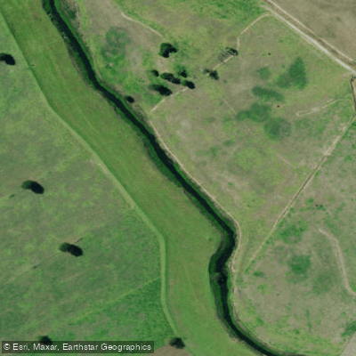
Kaihu River
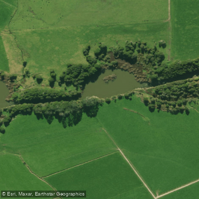
Wairua River
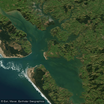
Kaipara Harbour
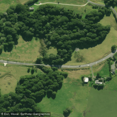
Hakaru River
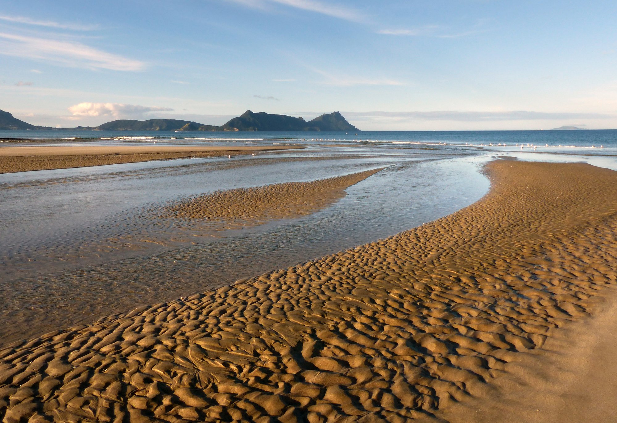
Bream Bay
Waitangi River
Explore Northland waters
Top paddling waters
No waters available right now.
Popular Cities
Loading popular cities...
Explore near Manganui River

Smarter Paddling Starts in the App.
Paddleways gives you everything you need to plan smarter, paddle better, and own every trip from first launch to takeout.