Ngunguru Bay
- Saltwater
- Bay
Ngunguru Bay
- Saltwater
- Bay
- Sq. miles
- 12
- Boat Ramps
- 0
- Access Points
- 0
- Campsites
- 1
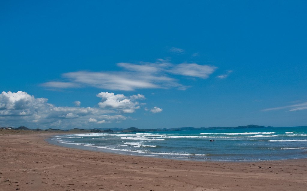
Ngunguru Bay is a broad coastal bay on the Tutukaka Coast, stretching southwards from the settlement of Ngunguru. The bay is defined by the long, low Ngunguru Sandspit, a Department of Conservation reserve, and receives the tidal flow from the Ngunguru River estuary. The estuary itself is a calm, mangrove-lined system where the river meets the sea, with water levels rising to a retaining wall at high tide and exposing wide sandflats at low tide. The name Ngunguru translates to "rumbling tides." Paddling access is primarily from the township waterfront, where a grass reserve provides a launch area, or from a nearby boat ramp. For exploring the Ngunguru Sandspit, a kayak or paddleboard is the easiest way to cross the river channel, especially at low tide when wading is not possible. The bay is also a launch point for journeys to nearby features like Goat Island. A notable alternative launch site is at Pataua, further south within the bay, where a campground offers sheltered, shallow water near a scatter of small islands stretching towards Taiharuru Head.
The paddling character varies significantly between the protected estuary and the open bay. The estuary offers very calm conditions ideal for kayaking and paddleboarding, with a focus on birdwatching among mangroves and mudflats. Venturing into Ngunguru Bay itself exposes paddlers to more open coastal conditions. The harbour entrance to the adjacent Tutukaka Harbour, near the bay, is a tricky passage that can become hazardous with a south-easterly swell or wind against tide, a consideration for those transitioning from the bay. Boat traffic from Tutukaka harbour, including "flash boats," can be expected. The bay provides expansive views of the Poor Knights Islands marine reserve to the northeast and the Hen and Chickens Islands to the south. Wildlife sightings can include dolphins, which are significant enough locally that the school bell rings when they enter the harbour, as well as royal spoonbills and oystercatchers on the sandflats. Paddlers should plan trips around the tide, as the extensive sandflats are exposed at low tide, and a rising tide is advantageous for exploring the upper reaches of the estuary and connecting rivers like the Taiharuru.
Water access, boat ramps & amenities
Learn how to get on Ngunguru Bay. Uncover great paddling access points, boat ramps, and all the facilities you need for an unforgettable day on the water. Some locations shown may border or include private property. Always check property boundaries and applicable regulations before visiting. PaddleWays's Public & Private Land layer can help you plan your access with confidence.
Paddle smarter with real-time insights
Whether you're en route and conditions shift or you're looking for the best spot based on current flows, we enable you to make informed decisions on the fly.







Northland licenses and regulations
No licenses or regulations available for Northland.
Find Places to Paddle

Over 400,000 Places to Paddle
Every user gets free access to launch points, boat ramps, and public property parcels.


Tides, wind & water conditions (10 day forecast)
On open water, wind and tide matter as much as the weather. See the best times to paddle Ngunguru Bay and check the marine forecast before you launch.
Loading tide predictions…
Paddling near Ngunguru Bay
Mangakahia River
Wairoa River
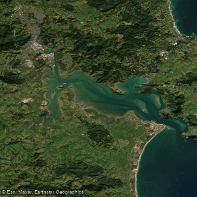
Whangārei Harbour
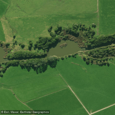
Wairua River
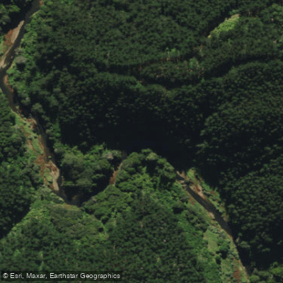
Ngunguru River
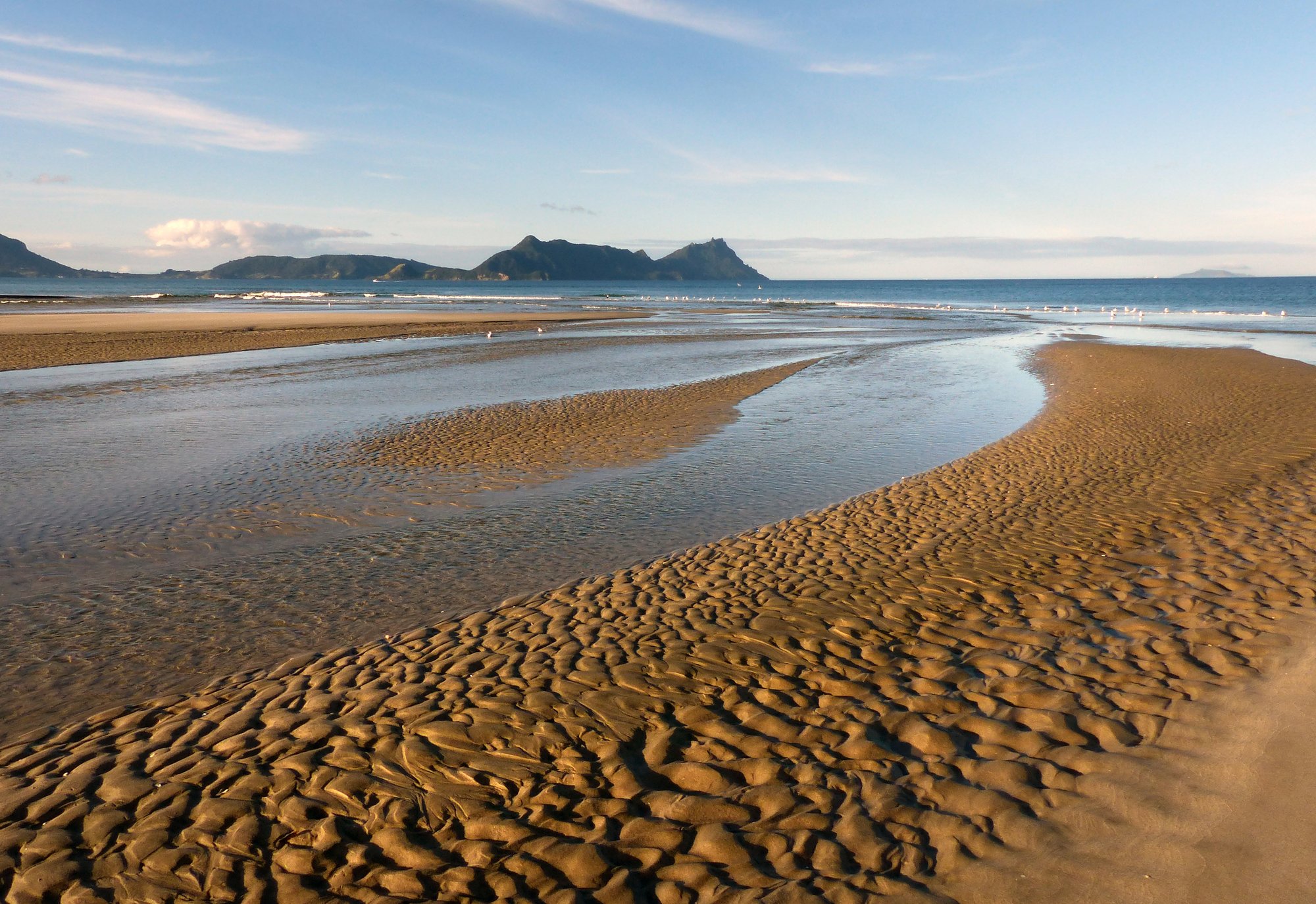
Bream Bay
Kaihu River
Hakaru River
Waitangi River
Explore Northland waters
Top paddling waters
No waters available right now.
Popular Cities
Loading popular cities...
Explore near Ngunguru Bay
Access points
Nearby waters
More in Northland

Smarter Paddling Starts in the App.
Paddleways gives you everything you need to plan smarter, paddle better, and own every trip from first launch to takeout.