Ngunguru River
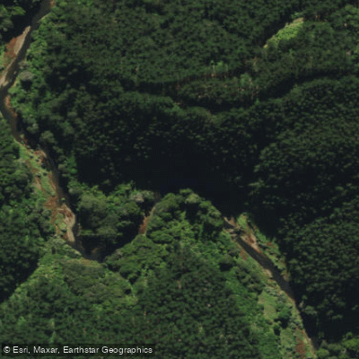
Ngunguru River
- Boat Ramps
- 0
- Access Points
- 0
- Campsites
- 0
The Ngunguru River is located in the Northland region of New Zealand's North Island, flowing through a landscape of forested hills and farmland before opening into a tidal harbour and estuary. The river extends at least 12.5 kilometres from the harbour channel entrance to the road bridge at Scow Landing, where the main road from Whangarei crosses the river.
A practical Scow Landing road bridge put-in point exists near the road bridge, with a picnic area located just off the main road up Waipoka Road. From here, paddlers can explore upstream, where the river bends northward into forested hills. This upper section is notable for kiwi habitat in the surrounding bush. The farmland flanking the lower river is historically significant, criss-crossed with approximately 1,500 kilometres of drystone walls, some constructed as early as the 1860s by Dalmatian gum diggers.
Downstream, the river opens into the Ngunguru Harbour, and paddlers can continue out into the estuary and harbour proper. This route — from the upper river through to the harbour — is offered as a guided kayak experience by at least one local operator, and is considered suitable for beginners and families. The area is noted for its wildlife and birdlife, which can be observed along the river corridor.
The historical Scow Landing, distinct from the modern council-named site at the bridge, lies approximately 1.6 kilometres downstream of the road bridge near what is now known as Captain Percy's Landing, adding cultural interest to a downstream paddle.
Water access, boat ramps & amenities
Learn how to get on Ngunguru River. Uncover great paddling access points, boat ramps, and all the facilities you need for an unforgettable day on the water. Some locations shown may border or include private property. Always check property boundaries and applicable regulations before visiting. PaddleWays's Public & Private Land layer can help you plan your access with confidence.
Paddle smarter with real-time insights
Whether you're en route and conditions shift or you're looking for the best spot based on current flows, we enable you to make informed decisions on the fly.







Northland licenses and regulations
No licenses or regulations available for Northland.
Find Places to Paddle

Over 400,000 Places to Paddle
Every user gets free access to launch points, boat ramps, and public property parcels.


Water and weather conditions (10 day forecast)
See the best times to paddle Ngunguru River and check the forecast before you go.
Ngunguru at Coal Hill Lane Br
Paddling near Ngunguru River
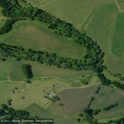
Mangakahia River
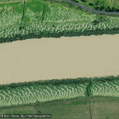
Wairoa River
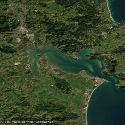
Whangārei Harbour
Wairua River
Bream Bay
Kaihu River
Hakaru River
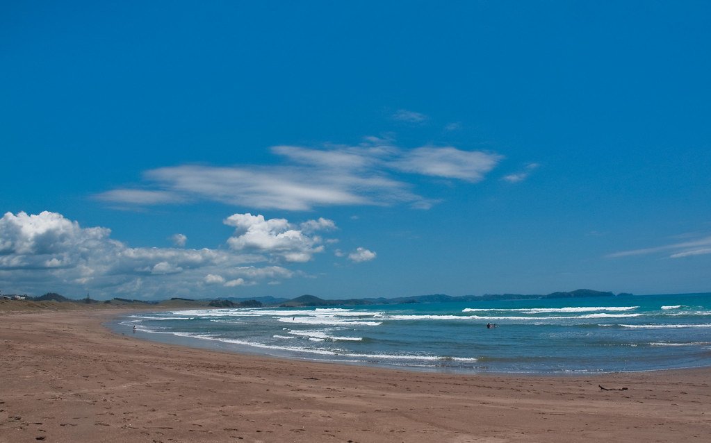
Ngunguru Bay
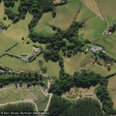
Waitangi River
Explore Northland waters
Top paddling waters
No waters available right now.
Popular Cities
Loading popular cities...
Explore near Ngunguru River

Smarter Paddling Starts in the App.
Paddleways gives you everything you need to plan smarter, paddle better, and own every trip from first launch to takeout.