Catlins Lake
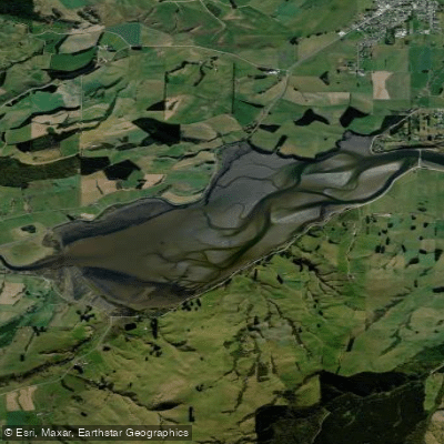
Catlins Lake
- Boat Ramps
- 0
- Access Points
- 0
- Campsites
- 0
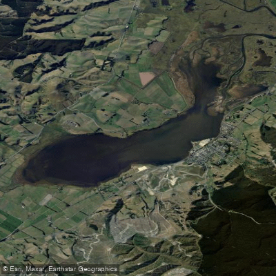
Catlins Lake is a tidal upper estuary situated in the southeastern corner of New Zealand's South Island, approximately 6 km from the Pacific Ocean and about 2.5 km southwest of the town of Owaka. The lake spans nearly 2 km at its widest point and stretches roughly 4 km in length. It is formed where the Catlins River and the Owaka River converge at Pounawea before opening into this broader tidal basin. The Māori name for the area, Pounawea, translates to "the meeting place of the waters," reflecting the confluence of these two rivers at the lake's lower end.
As a tidal estuary, water levels and currents within Catlins Lake are governed by tidal cycles, which paddlers should account for when planning trips. The tidal nature of the lake means conditions can shift considerably depending on the state of the tide, and sea-run fish move through the system, indicating a meaningful connection to the open ocean. The lake is noted as a significant habitat for wading birds, making it of interest to those attentive to wildlife.
Access to the lake is available from the Southern Scenic Route along the north side, where a viewpoint pull-off is located. Lakeside Road skirts the southeast side of the lake and is described as suitable for fishing access, connecting further to Hinahina Road toward Jacks Bay. The Catlins River can be reached by crossing a bridge on the highway southwest of Owaka, offering a potential upstream paddling extension into the Catlins Forest Park area.
The wetland area surrounding the lake contains wahi taonga — sites of significance to Māori — including middens and other evidence of historical occupation, lending the area cultural weight beyond its natural character. The broader Catlins region is accessed primarily via the Southern Scenic Route, and the nearby settlement of Pounawea sits at the lower estuary where the rivers meet. Accommodation options exist in the immediate area, including a cottage directly on Lakeside Road beside the lake.
Water access, boat ramps & amenities
Learn how to get on Catlins Lake. Uncover great paddling access points, boat ramps, and all the facilities you need for an unforgettable day on the water. Some locations shown may border or include private property. Always check property boundaries and applicable regulations before visiting. PaddleWays's Public & Private Land layer can help you plan your access with confidence.
Paddle smarter with real-time insights
Whether you're en route and conditions shift or you're looking for the best spot based on current flows, we enable you to make informed decisions on the fly.







Otago licenses and regulations
No licenses or regulations available for Otago.
Find Places to Paddle

Over 400,000 Places to Paddle
Every user gets free access to launch points, boat ramps, and public property parcels.


Water and weather conditions (10 day forecast)
See the best times to paddle Catlins Lake and check the forecast before you go.
No forecast data available.
Paddling near Catlins Lake

Clutha River / Mata-Au
Pomahaka River
Waipāti Beach
Taieri River
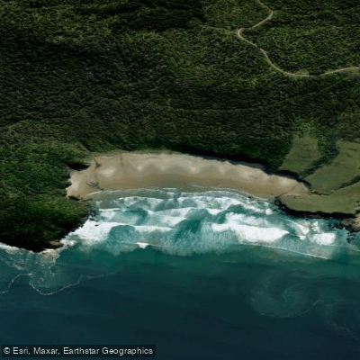
Wallace Beach
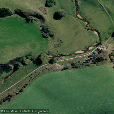
Tuapeka River
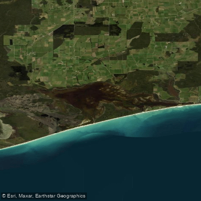
Waipārera / Waituna Lagoon
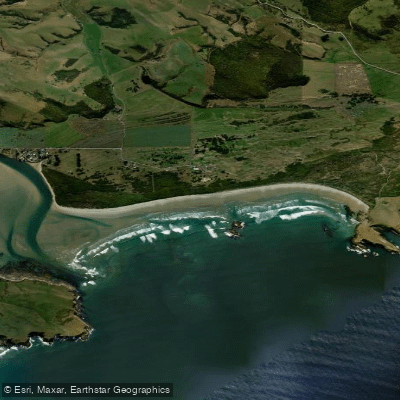
Surat Bay Beach
Lake Waihola
Explore Otago waters
Top paddling waters
No waters available right now.
Popular Cities
Loading popular cities...
Explore near Catlins Lake

Smarter Paddling Starts in the App.
Paddleways gives you everything you need to plan smarter, paddle better, and own every trip from first launch to takeout.