Lake Waihola
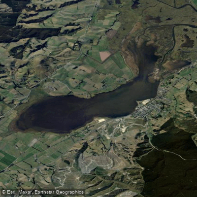
Lake Waihola
- Boat Ramps
- 0
- Access Points
- 0
- Campsites
- 1
Lake Waihola is a 640-hectare tidal freshwater lake located in Otago on New Zealand's South Island, approximately 40 km south of Dunedin and 15 km north of Milton. The lake stretches roughly 6 kilometres in length and covers around 9 square kilometres, but remains extremely shallow throughout, with a mean depth of just 0.75 metres. This shallowness is the defining characteristic of the paddling environment: the lake is tidal, with saline water periodically introduced via the Waipori River at the northern end, which connects downstream to the Taieri River. Many areas feature soft mud bottom, and navigating the shallower channels requires caution and some local knowledge, particularly in low-light conditions.
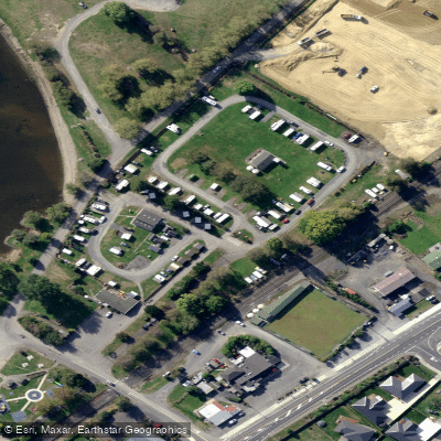
The primary access point is a boat ramp located behind the Waihola Holiday Park on the lake's eastern shore, in the small township of Waihola. A wharf, clubrooms, and car parking are also available at the northern section of the lake's Destination Park reserve, which is the main hub for boating activity. Public toilet facilities are located near the yacht club car park.
Kayaking is among the listed recreational activities on the lake. The surrounding landscape includes extensive wetlands, most notably the internationally recognised Sinclair Wetlands, which lie between Lake Waihola and the adjacent Lake Waipori. These wetlands support numerous wading bird species and black swans, making wildlife observation a notable aspect of time spent on the water. The lake is also known for its reflective surface on calm days, with views toward the Maungatua hills to the north.
The lake carries considerable historical significance, having served as a transit route during the 1860s Otago gold rush, when prospectors crossed by paddle-steamer en route to the goldfields at Gabriel's Gully. It is described as New Zealand's most inland tidal lake.
Windy conditions are noted as affecting the lake's character, and the shallow, open nature of the water means wind can significantly alter conditions. The lake also hosts yachting, waterskiing, jet skiing, and rowing, so paddlers should be aware of motorised and sail traffic, particularly at the northern end where boating activity is concentrated.
Water access, boat ramps & amenities
Learn how to get on Lake Waihola. Uncover great paddling access points, boat ramps, and all the facilities you need for an unforgettable day on the water. Some locations shown may border or include private property. Always check property boundaries and applicable regulations before visiting. PaddleWays's Public & Private Land layer can help you plan your access with confidence.
Paddle smarter with real-time insights
Whether you're en route and conditions shift or you're looking for the best spot based on current flows, we enable you to make informed decisions on the fly.







Otago licenses and regulations
No licenses or regulations available for Otago.
Find Places to Paddle

Over 400,000 Places to Paddle
Every user gets free access to launch points, boat ramps, and public property parcels.


Water and weather conditions (10 day forecast)
See the best times to paddle Lake Waihola and check the forecast before you go.
No forecast data available.
Paddling near Lake Waihola
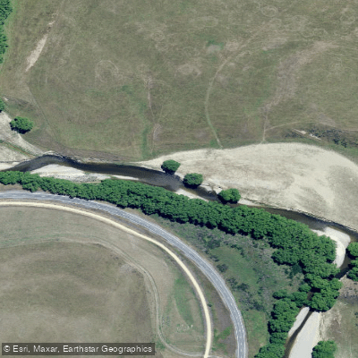
Taieri River

Clutha River / Mata-Au
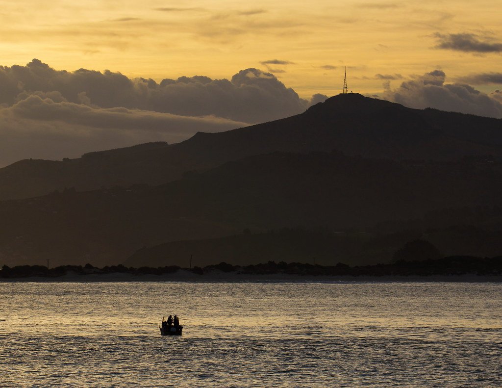
Otago Harbour
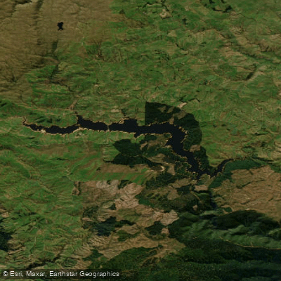
Lake Mahinerangi
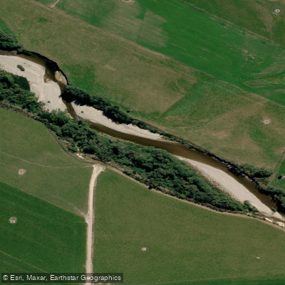
Pomahaka River
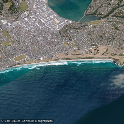
Saint Kilda Beach
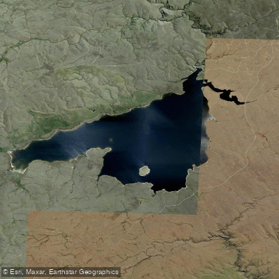
Loganburn Reservoir
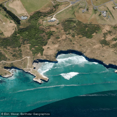
Tunnel Beach
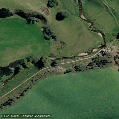
Tuapeka River
Explore Otago waters
Top paddling waters
No waters available right now.
Popular Cities
Loading popular cities...
Explore near Lake Waihola

Smarter Paddling Starts in the App.
Paddleways gives you everything you need to plan smarter, paddle better, and own every trip from first launch to takeout.