Pomahaka River
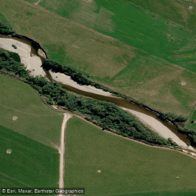
Pomahaka River
- Boat Ramps
- 0
- Access Points
- 0
- Campsites
- 0
The Pomahaka River is a 125-kilometre waterway in South West Otago that originates in the Umbrella Mountains and flows through fertile farmland before discharging into the Clutha River below Clydevale. It is a substantial river with a notably moody character — dark-coloured water, a history of significant flooding, and conditions that shift considerably with the seasons. After heavy rainfall, farm debris and uprooted trees can litter the riverbanks, while summer low-water periods see the river slow and become weedy.
Flow monitoring stations are located at two points along the river: Burkes Ford and Burkes Glenkin, both of which serve as reference gauges for paddlers assessing runnability. These stations allow paddlers to check real-time and historical flow data before committing to a trip. The river is subject to rapid rises following rainfall, which is an important safety consideration for anyone planning to paddle or cross it.
The upper catchment of the Pomahaka sits within the Pomahaka Conservation Area, accessed via Aitcheson Runs Road off SH8, approximately 32 kilometres from Ettrick. Access to parts of this area involves a 4WD road from the Pomahaka bridge to a carpark at the Cattle Yards, passing through a working farm. Users of this road are asked to avoid it during the lambing and calving period from 20 October to 20 November each year. The upper river is designated water under Otago Fish & Game regulations, with the designated reach running upstream of the Hukarere Station Bridge on Hukarere Station Road. The open season for this designated reach runs from 1 October to 30 April, with a bag limit of one trout and one salmon, using fly or spin methods.
The surrounding landscape is high country station farmland transitioning to conservation land. Summers in the region tend to be mild, winters cold with frequent frosts, and fog can occur at any time of year. The higher country receives snow in winter and some sections may carry avalanche risk. Moderate rainfall throughout the year comes predominantly from the southwest.
Water access, boat ramps & amenities
Learn how to get on Pomahaka River. Uncover great paddling access points, boat ramps, and all the facilities you need for an unforgettable day on the water. Some locations shown may border or include private property. Always check property boundaries and applicable regulations before visiting. PaddleWays's Public & Private Land layer can help you plan your access with confidence.
Paddle smarter with real-time insights
Whether you're en route and conditions shift or you're looking for the best spot based on current flows, we enable you to make informed decisions on the fly.







Otago licenses and regulations
No licenses or regulations available for Otago.
Find Places to Paddle

Over 400,000 Places to Paddle
Every user gets free access to launch points, boat ramps, and public property parcels.


Water and weather conditions (10 day forecast)
See the best times to paddle Pomahaka River and check the forecast before you go.
No forecast data available.
Paddling near Pomahaka River

Clutha River / Mata-Au
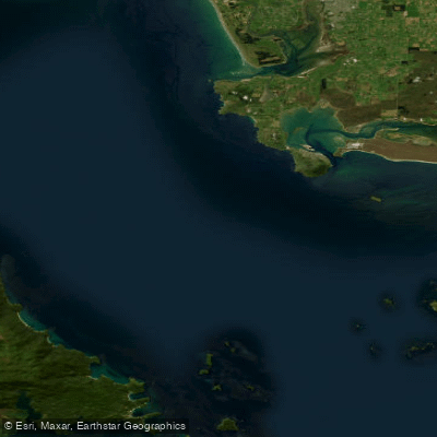
Te Ara-a-Kiwa / Foveaux Strait
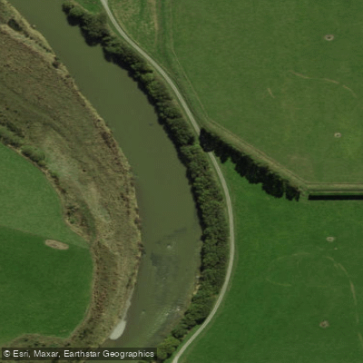
Õreti River
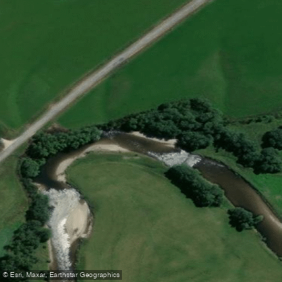
Waikaia River
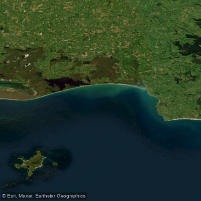
Toetoes Bay
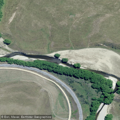
Taieri River
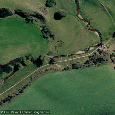
Tuapeka River
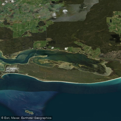
Awarua Bay / Poupoumoana / Te Wai-o-te-whawhaki
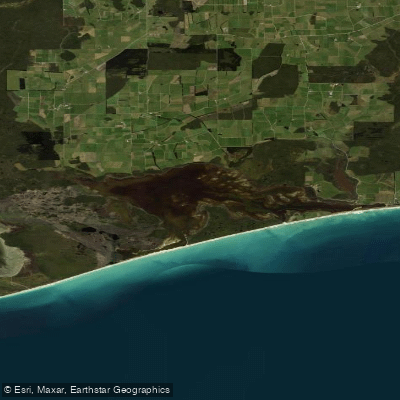
Waipārera / Waituna Lagoon
Explore Otago waters
Top paddling waters
No waters available right now.
Popular Cities
Loading popular cities...
Explore near Pomahaka River

Smarter Paddling Starts in the App.
Paddleways gives you everything you need to plan smarter, paddle better, and own every trip from first launch to takeout.