Kawarau River
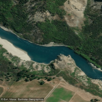
Kawarau River
- Boat Ramps
- 0
- Access Points
- 0
- Campsites
- 2
The Kawarau River flows out of Lake Wakatipu near Queenstown in New Zealand's South Island, cutting through the dramatic Kawarau Gorge — a canyon of striking geology joined along its course by the Shotover, Arrow, and Nevis rivers. The river is historically significant as a route used by Māori to reach the West Coast for pounamu, later traveled by pioneers, gold miners, and early hydro developers. The gorge also served as a filming location for The Lord of the Rings, with the Pillars of the Kings visible from the water.
The river offers a range of paddling character depending on the section. Near its outlet from Lake Wakatipu at Kawarau Falls, the river provides a grade 2 park-and-play feature suitable for working on fundamentals such as eddy turns, ferry gliding, and surfing. Paddlers should put in below the bridge and attain up to the features from there. Importantly, paddlers must avoid the control gates under the old bridge, as dangerous weirs are present in that area. Vessels proceeding downstream through the Kawarau Dam control gates must use the second marked arch from the Southern Bank, while those heading upstream must use the sixth marked arch from the Southern Bank.
Further downstream, the river builds to grade 2–3 whitewater, highlighted by the Dog Leg rapid — a 400-metre stretch recognized as the longest commercially rafted rapid in New Zealand. Beyond Dog Leg, the Nevis Bluffs section presents significantly more demanding whitewater, and the Citreon rapid is rated grade IV+, requiring careful scouting. The Nevis River enters on river right in this lower section.
There are navigational regulations to be aware of: no powered vessels may operate on the section of the Kawarau River below the Arrow River confluence. Paddlers approaching the Shotover–Kawarau confluence area should be aware of jet boat operations in that stretch.
The river runs through clear water and rugged canyon landscapes. The Kawarau Falls section is described as suitable for any flow, making it accessible across a range of conditions, though paddlers should note that New Zealand rivers can fluctuate dramatically in level, sometimes within hours. As a general guideline, blue to green water indicates safe paddling conditions, while brown or murky water signals potential flooding and significantly increased difficulty.
Water access, boat ramps & amenities
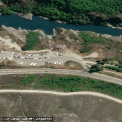
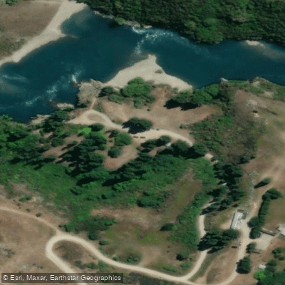
Learn how to get on Kawarau River. Uncover great paddling access points, boat ramps, and all the facilities you need for an unforgettable day on the water. Some locations shown may border or include private property. Always check property boundaries and applicable regulations before visiting. PaddleWays's Public & Private Land layer can help you plan your access with confidence.
Paddle smarter with real-time insights
Whether you're en route and conditions shift or you're looking for the best spot based on current flows, we enable you to make informed decisions on the fly.







Otago licenses and regulations
No licenses or regulations available for Otago.
Find Places to Paddle

Over 400,000 Places to Paddle
Every user gets free access to launch points, boat ramps, and public property parcels.


Water and weather conditions (10 day forecast)
See the best times to paddle Kawarau River and check the forecast before you go.
No forecast data available.
Paddling near Kawarau River
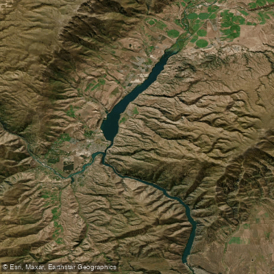
Lake Dunstan

Clutha River / Mata-Au
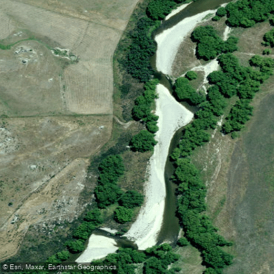
Manuherikia River
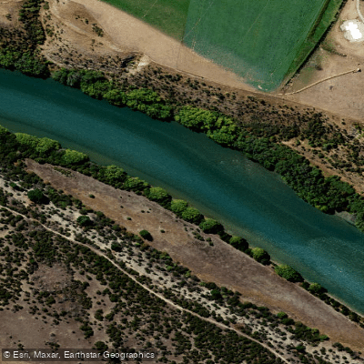
Clutha River / Mata-Au
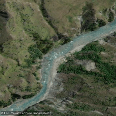
Shotover River
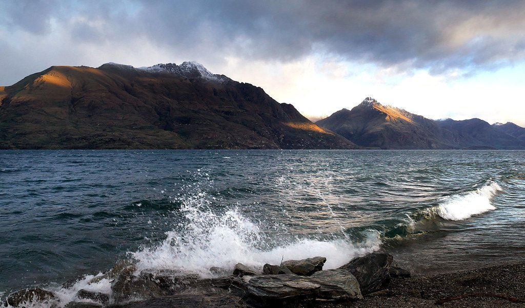
Lake Wakatipu
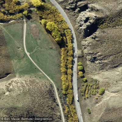
Lindis River
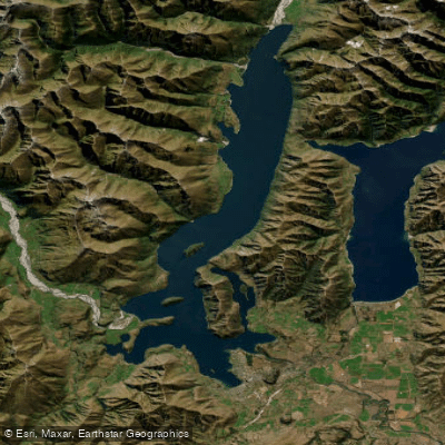
Lake Wānaka
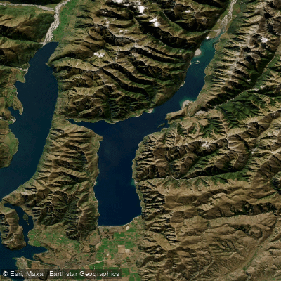
Lake Hāwea
Explore Otago waters
Top paddling waters
No waters available right now.
Popular Cities
Loading popular cities...
Explore near Kawarau River

Smarter Paddling Starts in the App.
Paddleways gives you everything you need to plan smarter, paddle better, and own every trip from first launch to takeout.