Manuherikia River
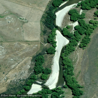
Manuherikia River
- Boat Ramps
- 0
- Access Points
- 0
- Campsites
- 2
The Manuherikia River flows through Central Otago on New Zealand's South Island, with its most notable paddling section being the Ophir Gorge. This gorge contains grade 3 and 4 whitewater rapids, making it a technically demanding run suited to experienced paddlers. It is considered a rare and valuable resource in the region, as comparable whitewater runs in Otago tend to be located in far more remote and difficult-to-access areas. The Kawarau River is noted as a nearby alternative with consistently higher volume.
Water levels are a significant planning consideration. The river is officially classified as a stressed waterway and shrinks considerably during summer as irrigation demands increase downstream. Paddlers have noted that flow is frequently insufficient, and the technical nature of the river means adequate water is essential for a safe and worthwhile run. The river is also subject to periodic flooding and heavy silting.
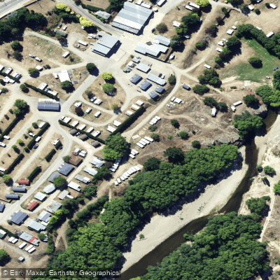
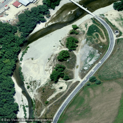
Access to the Ophir Gorge is possible below the major rapids at Chinky Gully, reached through private property. The cooperation of landowners is generally required, and access along the river corridor is limited — the gorge sections in particular are difficult to reach except where roads intersect the river. Keddell Road is noted as an access point for kayakers. Dense growth of broom, briar, and willow along the banks further complicates longitudinal movement along the river.
The gorge itself is described as scenic, and relatively few people are aware of it despite its proximity to the Central Otago road network. Jet boating also takes place on the river, which paddlers should be aware of when planning trips. The broader river corridor supports brown and rainbow trout, wading birds, and waterfowl, and the river has a long history of use by gold miners, farmers, and irrigators in the region.
Water access, boat ramps & amenities
Learn how to get on Manuherikia River. Uncover great paddling access points, boat ramps, and all the facilities you need for an unforgettable day on the water. Some locations shown may border or include private property. Always check property boundaries and applicable regulations before visiting. PaddleWays's Public & Private Land layer can help you plan your access with confidence.
Paddle smarter with real-time insights
Whether you're en route and conditions shift or you're looking for the best spot based on current flows, we enable you to make informed decisions on the fly.







Otago licenses and regulations
No licenses or regulations available for Otago.
Find Places to Paddle

Over 400,000 Places to Paddle
Every user gets free access to launch points, boat ramps, and public property parcels.


Water and weather conditions (10 day forecast)
See the best times to paddle Manuherikia River and check the forecast before you go.
No forecast data available.
Paddling near Manuherikia River

Clutha River / Mata-Au
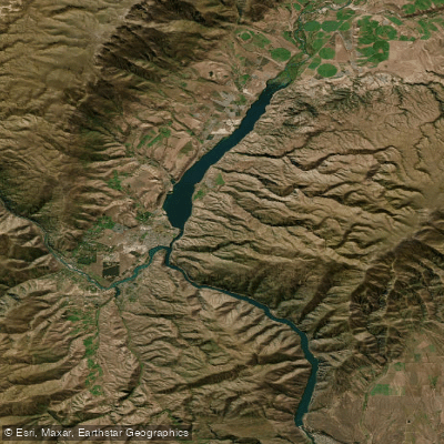
Lake Dunstan
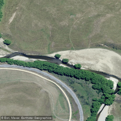
Taieri River
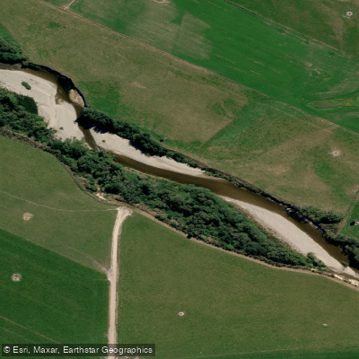
Pomahaka River
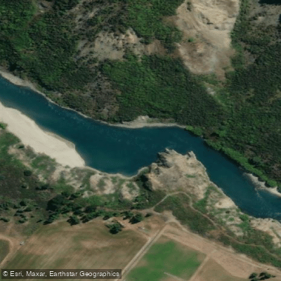
Kawarau River
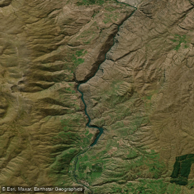
Lake Roxburgh
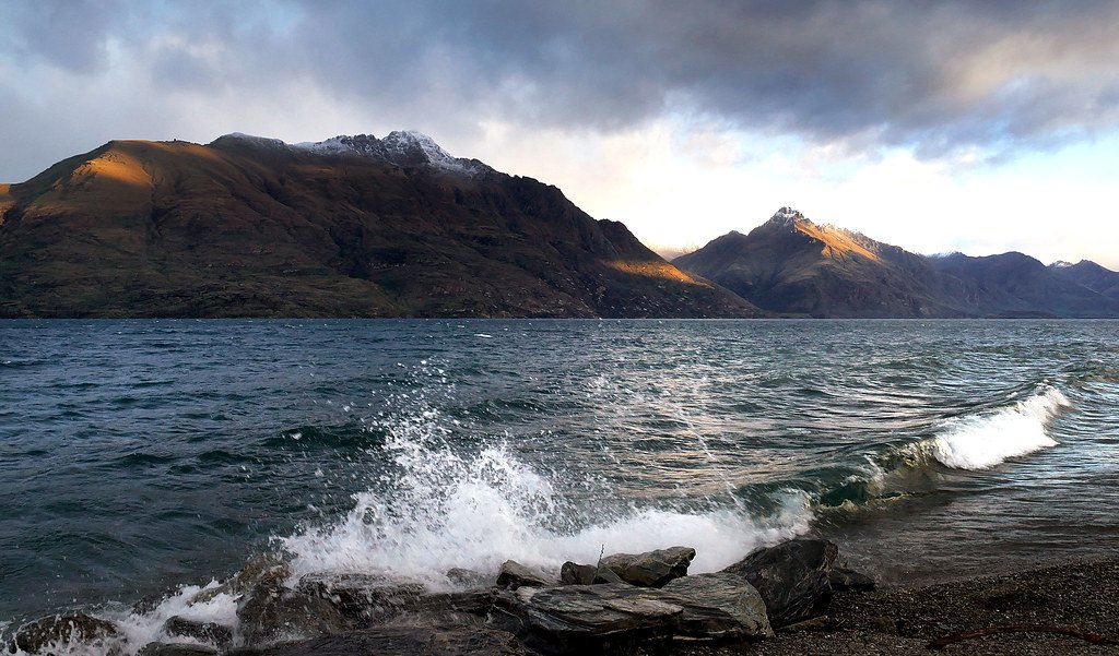
Lake Wakatipu
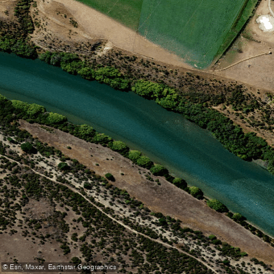
Clutha River / Mata-Au
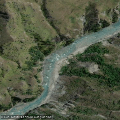
Shotover River
Explore Otago waters
Top paddling waters
No waters available right now.
Popular Cities
Loading popular cities...
Explore near Manuherikia River

Smarter Paddling Starts in the App.
Paddleways gives you everything you need to plan smarter, paddle better, and own every trip from first launch to takeout.