Lake Mahinerangi
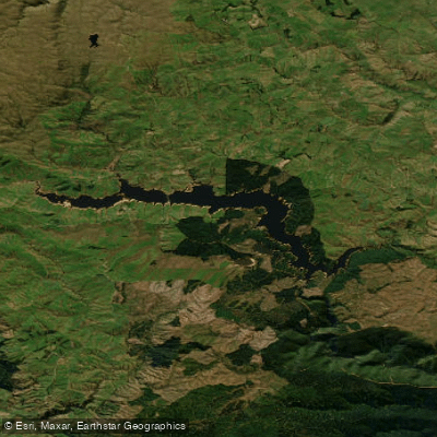
Lake Mahinerangi
- Boat Ramps
- 1
- Access Points
- 0
- Campsites
- 0
Lake Mahinerangi is a reservoir in the Clutha District of Otago, on New Zealand's South Island, situated approximately 35 kilometres west of Dunedin. The lake was formed when a dam was built on the Waipori River as part of the Waipori River hydro scheme, with the current dam completed to its final height of 33.5 metres in 1946. The lake stretches 12 kilometres in length and sits at roughly 600 metres above sea level, surrounded by forestry, farmland, and tussock grasslands.
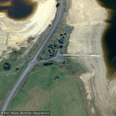
Access to the lake is available from State Highway 8 at Lawrence via the Lawrence-Waipori road, from the Waipori Falls road, or from Mahinerangi Road leading off State Highway 87 near Traquair. The Edgar Stark Bridge crosses the lake and connects Mahinerangi Road to the surrounding road network. A concrete boat ramp is located at the Edgar Stark Bridge, though water levels can fluctuate significantly due to hydroelectric generation requirements — when the lake is lowered for maintenance, the ramp can be left high and dry, and exposed soft sediment along the lake edge can be easily stirred by wind and rain. Paddlers should monitor lake levels before launching, as the lake can be drawn down by nearly a metre or more during scheduled outages.
The unsealed Waipori Falls Road on the south side of the lake provides access from the west and runs approximately 500 metres above sea level, with a dramatic drop to the water below. On the north shore, a small collection of holiday homes and fishing huts lines Mahinerangi Road. When lake levels are low, the tops of dead trees that once surrounded the submerged gold-mining township of Waipori are visible above the waterline, a reminder of the area's history. A cemetery on a nearby hill, still in use by locals, is another remnant of the former township.
Wind can be a significant factor on this exposed high-country reservoir, and the open nature of the lake means conditions can change. The lake is well known for trout and perch fishing, and anglers are a regular presence on the water, particularly during the fishing season from October through September.
Water access, boat ramps & amenities
Learn how to get on Lake Mahinerangi. Uncover great paddling access points, boat ramps, and all the facilities you need for an unforgettable day on the water. Some locations shown may border or include private property. Always check property boundaries and applicable regulations before visiting. PaddleWays's Public & Private Land layer can help you plan your access with confidence.
Paddle smarter with real-time insights
Whether you're en route and conditions shift or you're looking for the best spot based on current flows, we enable you to make informed decisions on the fly.







Otago licenses and regulations
No licenses or regulations available for Otago.
Find Places to Paddle

Over 400,000 Places to Paddle
Every user gets free access to launch points, boat ramps, and public property parcels.


Water and weather conditions (10 day forecast)
See the best times to paddle Lake Mahinerangi and check the forecast before you go.
No forecast data available.
Paddling near Lake Mahinerangi
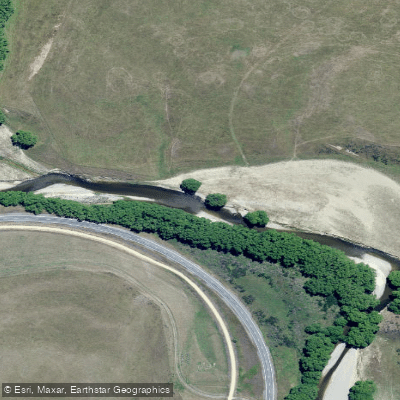
Taieri River

Clutha River / Mata-Au
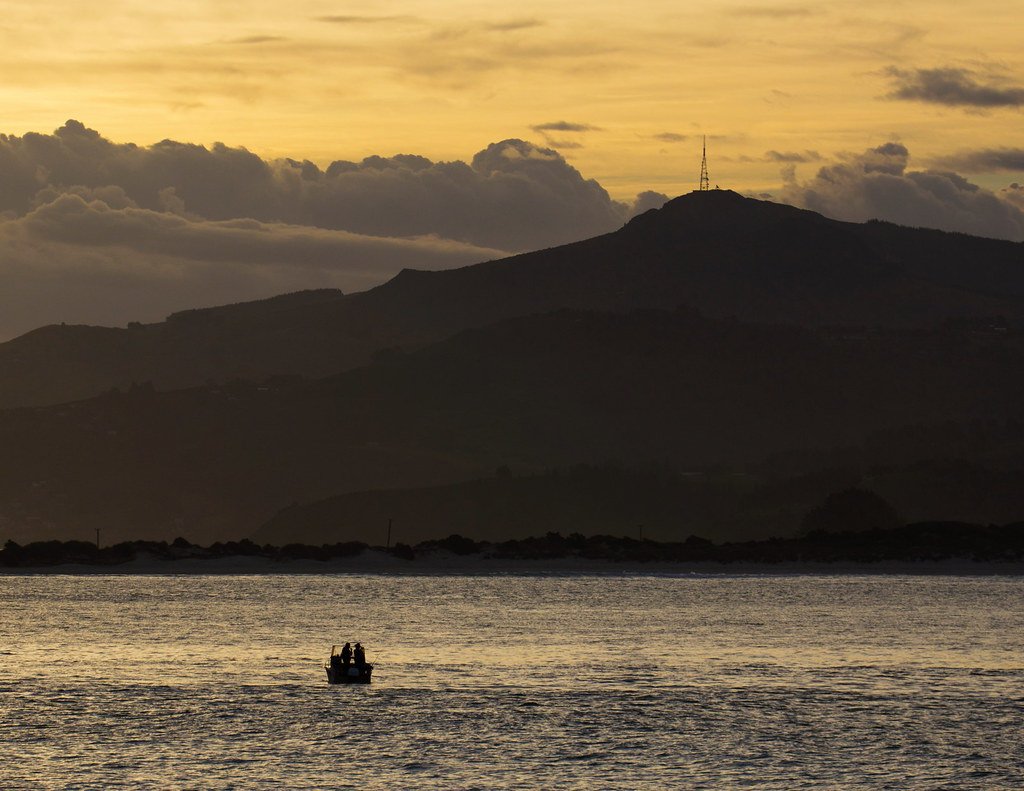
Otago Harbour
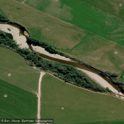
Pomahaka River
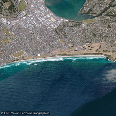
Saint Kilda Beach
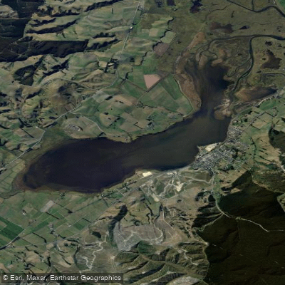
Lake Waihola
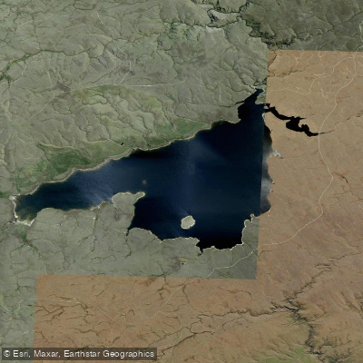
Loganburn Reservoir
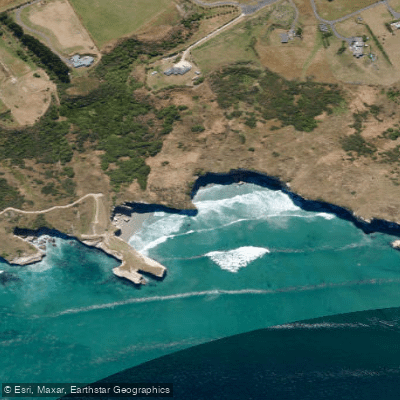
Tunnel Beach
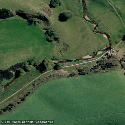
Tuapeka River
Explore Otago waters
Top paddling waters
No waters available right now.
Popular Cities
Loading popular cities...
Explore near Lake Mahinerangi

Smarter Paddling Starts in the App.
Paddleways gives you everything you need to plan smarter, paddle better, and own every trip from first launch to takeout.