Loganburn Reservoir
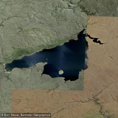
Loganburn Reservoir
- Boat Ramps
- 0
- Access Points
- 0
- Campsites
- 0
Loganburn Reservoir sits in the Otago Highlands of Central Otago, roughly an hour's drive from Dunedin and a short drive east of Alexandra. The reservoir was created in the 1980s by damming the Logan Burn, flooding what had been the Great Moss Swamp — originally around 500 hectares in extent. A remnant of that swamp persists in the southwest corner of the reservoir. The water body was developed to supply irrigation to approximately 60 farms and 9,300 hectares of the Maniototo Plain, and a small power generator operates when irrigation water is released through the dam.
Access to the reservoir is via State Highway 87 to Clarks Junction, then along the Old Dunstan Road, which runs along the eastern side of the reservoir. This road is generally passable in a 2WD vehicle in dry conditions but can become muddy and difficult in wet weather, making a 4WD preferable when conditions are uncertain.
The surrounding landscape is high tussock country, giving the reservoir a remote, open character typical of the Central Otago highlands. Temperatures can drop sharply at night, so paddlers camping in the area should prepare for cold conditions regardless of the season.
The reservoir is well regarded as a brown trout fishery, with fishing activity concentrated around the dam area and the shallows. Trout fishing tends to peak in February when cicada activity is at its height and fish become active on the surface; evening sedge rises can also be notable during this period. Anglers use pontoon boats on the water, indicating that small watercraft are used here, though no specific paddling regulations or restrictions are known to apply.
Nearby water bodies in the same highland area include Lake Onslow, Upper Manorburn Reservoir, Pollburn Reservoir, and Lower Manorburn Dam near Alexandra, making the region suitable for those wishing to explore multiple highland reservoirs in a single trip.
Water access, boat ramps & amenities
Learn how to get on Loganburn Reservoir. Uncover great paddling access points, boat ramps, and all the facilities you need for an unforgettable day on the water. Some locations shown may border or include private property. Always check property boundaries and applicable regulations before visiting. PaddleWays's Public & Private Land layer can help you plan your access with confidence.
Paddle smarter with real-time insights
Whether you're en route and conditions shift or you're looking for the best spot based on current flows, we enable you to make informed decisions on the fly.







Otago licenses and regulations
No licenses or regulations available for Otago.
Find Places to Paddle

Over 400,000 Places to Paddle
Every user gets free access to launch points, boat ramps, and public property parcels.


Water and weather conditions (10 day forecast)
See the best times to paddle Loganburn Reservoir and check the forecast before you go.
No forecast data available.
Paddling near Loganburn Reservoir
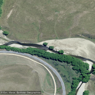
Taieri River

Clutha River / Mata-Au
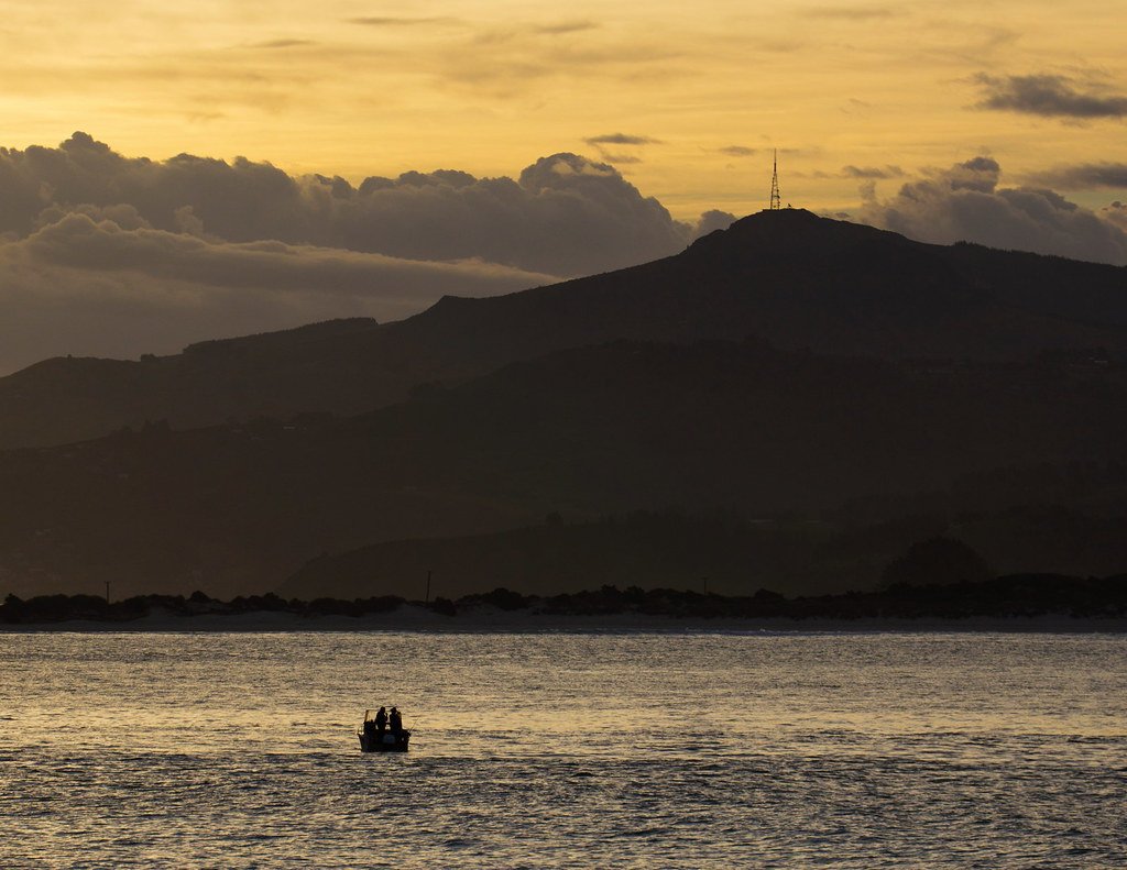
Otago Harbour
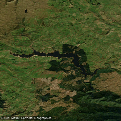
Lake Mahinerangi
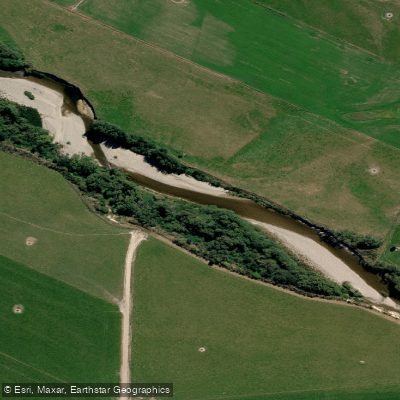
Pomahaka River
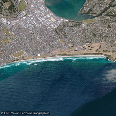
Saint Kilda Beach
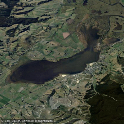
Lake Waihola
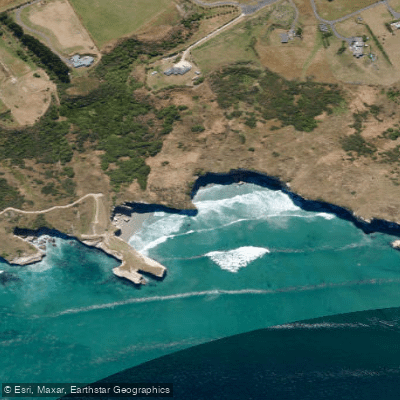
Tunnel Beach
Tuapeka River
Explore Otago waters
Top paddling waters
No waters available right now.
Popular Cities
Loading popular cities...
Explore near Loganburn Reservoir

Smarter Paddling Starts in the App.
Paddleways gives you everything you need to plan smarter, paddle better, and own every trip from first launch to takeout.