Paddling in Tongariro National Park
- National Park
- Lakes
- 10
- Rivers
- 92
- Access
- 0
- Boat Ramps
- 0
- Shops
- 0
Tongariro National Park sits on the volcanic plateau of New Zealand's North Island, anchored by three active volcanoes and drained by rivers that carry glacial and geothermal water off the high ground.
The paddling here divides roughly into two characters: the Tongariro River, which runs fast and technical through a canyon, and the Whanganui River, which draws paddlers into a longer, wilder journey through deep gorges.
The Tongariro River is the park's most paddled water. Over 14 kilometres it runs more than 50 Grade 3 rapids — continuous enough that there's rarely a flat stretch to recover on.
Guided raft trips run the river in roughly two to two and a half hours, and the canyon walls and native bush along the banks are where you're most likely to spot whio, the blue duck, one of New Zealand's rarest birds.
The lower section of the Tongariro is a different proposition: softer, tumbling water suited to first-timers and families, with small rapids but nothing that demands technical skill.
Both sections have commercial operators running daily departures out of Turangi. The Whanganui River draws paddlers looking for something more sustained.
Multi-day canoe and kayak trips move through deep gorges and past waterfalls, and the river has a tradition of dory travel — North American-style flat-bottomed dinghies that suit the long, reading-water nature of the journey.
This is summertime paddling, and the multi-day format means planning around access, camping, and the river's own pace rather than a half-day schedule.
The Whakapapa River offers a quieter alternative — a 9-kilometre section navigable by inflatable kayak, secluded and away from the main visitor corridors. Tongariro is a dual World Heritage site, recognised for both its natural and cultural values.
The volcanic landscape and the rivers running through it carry deep significance to local iwi, and that context shapes how the park expects visitors to move through it.
Check with the Department of Conservation for any current access conditions, restrictions, or requirements before putting in — the park's status means rules can apply that don't exist on comparable rivers outside its boundaries.
The water here is cold, the flows are tied to snowmelt and rainfall on the volcanic plateau, and the Tongariro River in particular rewards paddlers who pay attention. Come for the rapids, stay for the canyon.
Top waters to paddle near Tongariro National Park

Whanganui River
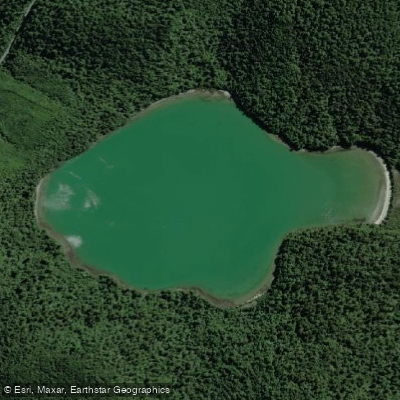
Lake Rotopounamu
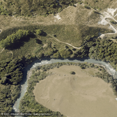
Whangaehu River
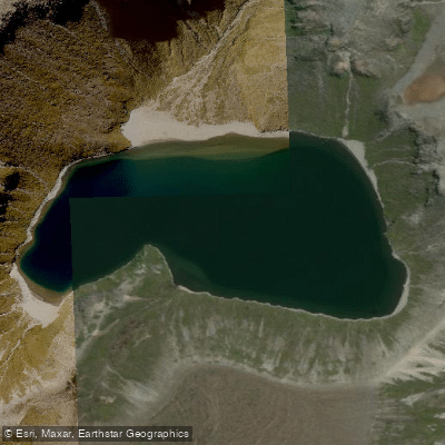
Upper Tama
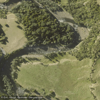
Manganuioteao River
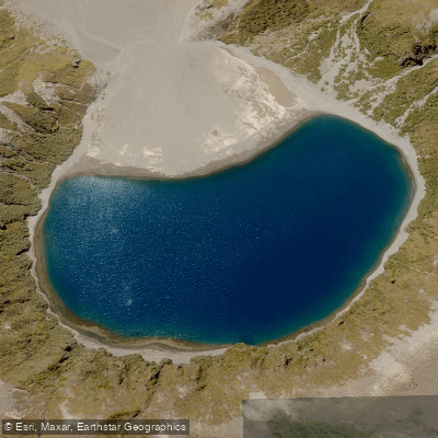
Lower Tama
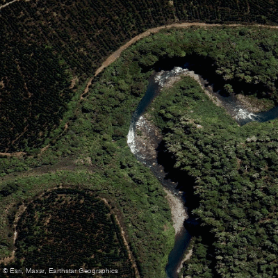
Tongariro River
Crater Lake / Te Wai Ā-Moe
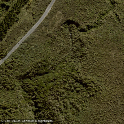
Mangatepopo Stream
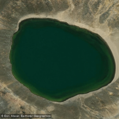
Blue Lake
Water and weather conditions (10 day forecast)
See the best times to paddle Tongariro National Park and check the forecast before you go.
No forecast data available.
Paddle smarter with real-time insights
Whether you're en route and conditions shift or you're looking for the best spot based on current flows, we enable you to make informed decisions on the fly.







Paddling near Tongariro National Park
Loading...
Gateway towns
Where to base yourself for paddling in Tongariro National Park.
- National Park VillageManawatu-Whanganui
The closest town to the park, with lodges, hostels, shuttle services, and guided tour operators for the Tongariro Alpine Crossing.
- OhakuneManawatu-Whanganui
Southern entrance to the park and gateway to Turoa ski field, with accommodation, dining, and shuttle connections to the trails.
- Whakapapa VillageManawatu-Whanganui
Main gateway village inside the park on the western side, home to the visitor centre and access to Whakapapa ski field.
- TūrangiWaikato
Northern gateway town with accommodation and transport links serving visitors approaching the park from the Taupō side.
Explore Tongariro National Park
Top paddling waters
Popular Cities
Loading popular cities...

Smarter Paddling Starts in the App.
Paddleways gives you everything you need to plan smarter, paddle better, and own every trip from first launch to takeout.