Paddling in Westland Tai Poutini National Park
- National Park
- Lakes
- 17
- Rivers
- 18
- Access
- 0
- Boat Ramps
- 0
- Shops
- 0
Westland Tai Poutini National Park runs down the western flank of the Southern Alps, where glacier-fed rivers drain through dense temperate rainforest before meeting the Tasman Sea.
The park's water is shaped by that geography: short, steep rivers carrying glacial silt, coastal lagoons sheltered behind barrier beaches, and still lakes reflecting the peaks above.
Paddling here means moving between those worlds — sometimes within a single day. Ōkārito Lagoon is the water most paddlers come for.
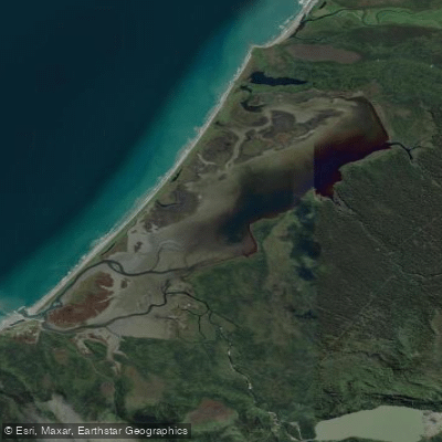
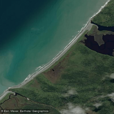
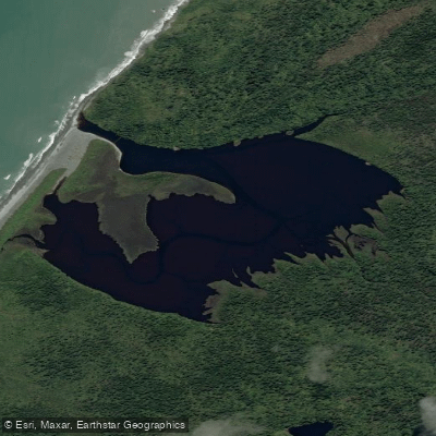
New Zealand's largest unmodified estuarine wetland, it has a designated kayak trail that threads through the lagoon's channels with the Southern Alps rising behind. The lagoon rewards an early start, when the light is low and the birdlife is most active.
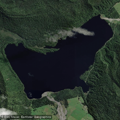
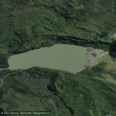
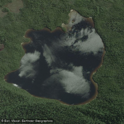
Access is from the small settlement of Ōkārito. Lake Māpouriki sits just north of Franz Josef township and is one of the calmer options in the park — sheltered, dark-watered, and navigable by kayak or small boat.
It's a practical choice when the rivers are running high and brown after rain, which on the West Coast happens often. Lake Wahapo, a short distance south, offers similar flatwater character.
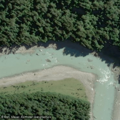
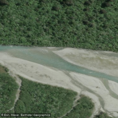
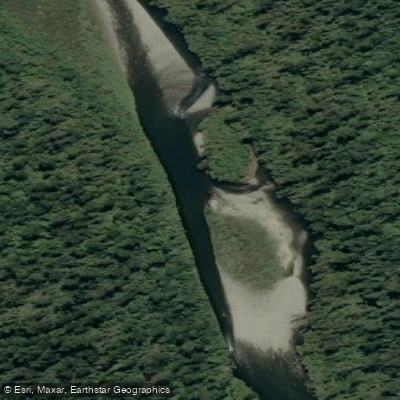
The Karangarua and Copland rivers drain directly from the main divide and carry the character of that terrain: cold, swift, and subject to rapid rises. These are not casual floats.
Flows can change fast, and the glacial source means water temperature stays low year-round. Because this is a national park within the Te Wāhipounamu World Heritage Area, the usual New Zealand conservation ethic applies with added weight.
Check with the Department of Conservation before launching on any river or lake inside the park boundaries — access points, conditions, and any specific rules can shift with the seasons and with ongoing management of this protected landscape.
The West Coast gets heavy rainfall, and that rain is what keeps these rivers alive. Plan around it rather than against it.
Top waters to paddle near Westland Tai Poutini National Park
Water and weather conditions (10 day forecast)
See the best times to paddle Westland Tai Poutini National Park and check the forecast before you go.
No forecast data available.
Paddle smarter with real-time insights
Whether you're en route and conditions shift or you're looking for the best spot based on current flows, we enable you to make informed decisions on the fly.







Paddling near Westland Tai Poutini National Park
Loading...
Gateway towns
Where to base yourself for paddling in Westland Tai Poutini National Park.
- Franz JosefWest Coast
Primary base for the park, with lodging, guides, gear hire, and direct access to Franz Josef Glacier.
- Fox GlacierWest Coast
Southern gateway village offering accommodation, tour operators, and access to Fox Glacier and park trails.
- ŌkāritoWest Coast
Small coastal settlement inside the park boundary, used as a base for lagoon kayaking and kiwi spotting.
Explore Westland Tai Poutini National Park
Top paddling waters
Popular Cities
Loading popular cities...

Smarter Paddling Starts in the App.
Paddleways gives you everything you need to plan smarter, paddle better, and own every trip from first launch to takeout.