Copland River
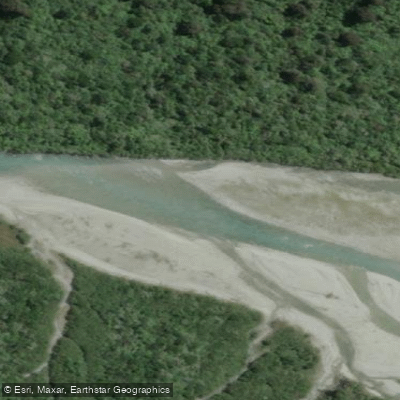
Copland River
- Boat Ramps
- 0
- Access Points
- 0
- Campsites
- 2
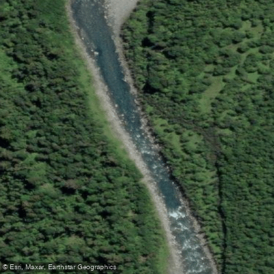
The Copland River flows through a wild west coast valley on the South Island of New Zealand, draining into the Karangarua River within Westland Tai Poutini National Park. The river runs through ancient podocarp rainforest and is described as turquoise in appearance, fed by glacial sources from the Sierra Range above.
The standard packraft run is graded Class III to IV and begins at or near Architect Creek Hut, approximately three hours on foot from the road-end trailhead. The trailhead carpark is located 26 kilometres south of Fox Glacier on State Highway 6, just north of the Karangarua Bridge. Paddlers can optionally put in 700 metres upstream at Architect Creek itself for a Class II warm-up section before the gradient increases. The run eventually eases to mostly Class I with occasional Class II rapids before reaching the confluence with the Karangarua River. Below the confluence, the combined volume roughly doubles, producing larger wave trains and long flat sections before the takeout.
The West Coast receives exceptionally high rainfall, and flow management is entirely visual — there is no formal gauge. The river paddles best at medium flows: not during extended dry periods, and not following heavy rain. Flood conditions can develop rapidly, and the river should not be attempted when water appears brown or milky, or when boulders can be heard moving along the riverbed.
Architect Creek Hut, near the put-in, has only two bunks, so carrying a tent is advisable. Camping is available in the surrounding area. Paddlers willing to leave gear near Architect Creek can make a side trip to the Welcome Flat hot pools, an additional three to four hours up the valley, though the hut there requires advance booking through the Department of Conservation and fills well in advance during summer months (December through March).
The valley offers a strong sense of remoteness, with swing bridges, rainforest, and views toward the snow-covered peaks of the Sierra Range. The confluence of the Copland and Karangarua Rivers is a visually notable feature, where the two rivers meet with visibly different water colours. Active landslide zones exist along the valley, and the track into the put-in is classified as advanced due to unbridged crossings and these hazard areas.
Water access, boat ramps & amenities
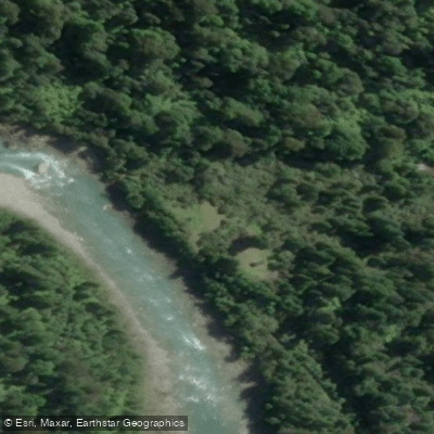
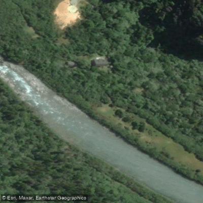
Learn how to get on Copland River. Uncover great paddling access points, boat ramps, and all the facilities you need for an unforgettable day on the water. Some locations shown may border or include private property. Always check property boundaries and applicable regulations before visiting. PaddleWays's Public & Private Land layer can help you plan your access with confidence.
Paddle smarter with real-time insights
Whether you're en route and conditions shift or you're looking for the best spot based on current flows, we enable you to make informed decisions on the fly.







West Coast licenses and regulations
No licenses or regulations available for West Coast.
Find Places to Paddle

Over 400,000 Places to Paddle
Every user gets free access to launch points, boat ramps, and public property parcels.


Water and weather conditions (10 day forecast)
See the best times to paddle Copland River and check the forecast before you go.
No forecast data available.
Paddling near Copland River
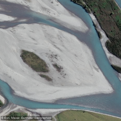
Hokitika River
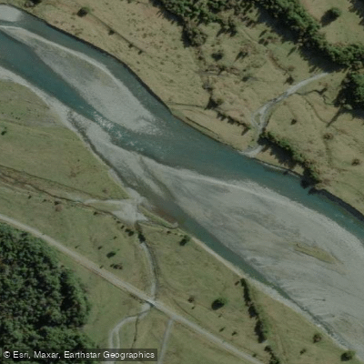
Arahura River
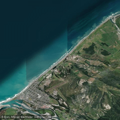
Hokitika Beach
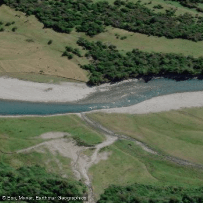
Kokatahi River
Toaroha River
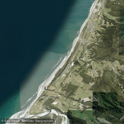
South Beach
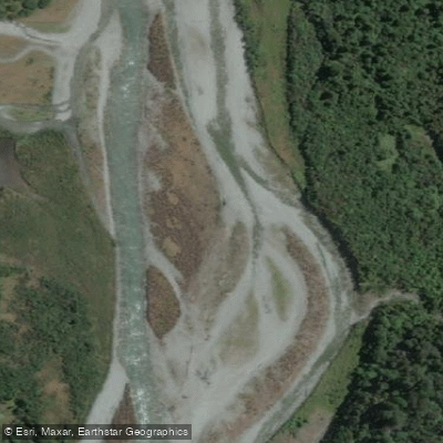
Taipo River
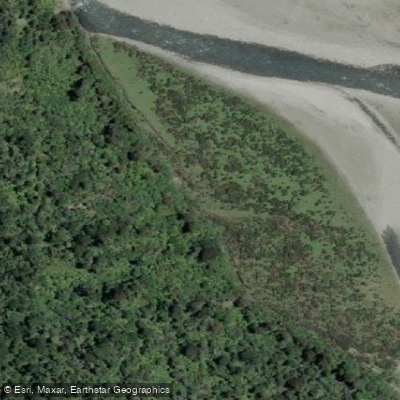
Mikonui River
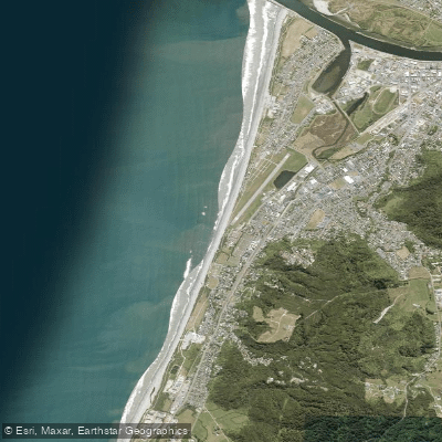
Kararo Beach
Waitaha River
Explore West Coast waters
Top paddling waters
No waters available right now.
Popular Cities
Loading popular cities...
Explore near Copland River

Smarter Paddling Starts in the App.
Paddleways gives you everything you need to plan smarter, paddle better, and own every trip from first launch to takeout.