Lake Mueller
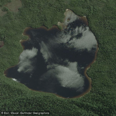
Lake Mueller
- Boat Ramps
- 0
- Access Points
- 0
- Campsites
- 0
Lake Mueller, also known as Mueller Glacier Lake, sits at approximately 770 metres elevation in the Hooker Valley within Aoraki/Mount Cook National Park, Canterbury, New Zealand. It is a glacial lake fed directly by the Mueller Glacier, with notably blue waters set against the ice-clad peaks of the Southern Alps, with Mount Sefton as a particularly prominent backdrop.
Guided kayaking tours operate on the lake, run by commercial operators based at Mount Cook. These tours use double kayaks fitted with outriggers for additional stability. Operators recommend that participants have some prior kayaking experience before joining a Mueller Lake trip. The minimum age for these tours is 14 years. Afternoon sessions on Mueller Lake are typically paired with morning sessions on the nearby Tasman Glacier Lake, allowing paddlers to experience both glacial lakes in a single day. The season runs from October through to approximately mid-April, reflecting the summer and shoulder seasons in the Southern Alps.
The primary weather hazard is strong wind, typically generated by westerly frontal systems crossing the main divide of the Southern Alps. These conditions can produce significant wind and precipitation within the national park, and the senior guide on duty makes the final call on whether conditions are suitable for paddling. Paddlers should come prepared with warm clothing, a rain jacket, sun protection, and appropriate footwear, as conditions can change rapidly at this elevation.
Access to the lake area is via the Hooker Valley Track, which begins at the White Horse Hill Campground and car park. The track crosses suspension bridges over the river rapids that drain from the lake. Given the national park setting, paddlers should be aware that park regulations apply, and independent paddling arrangements should be confirmed with the Department of Conservation.
Water access, boat ramps & amenities
Learn how to get on Lake Mueller. Uncover great paddling access points, boat ramps, and all the facilities you need for an unforgettable day on the water. Some locations shown may border or include private property. Always check property boundaries and applicable regulations before visiting. PaddleWays's Public & Private Land layer can help you plan your access with confidence.
Paddle smarter with real-time insights
Whether you're en route and conditions shift or you're looking for the best spot based on current flows, we enable you to make informed decisions on the fly.







West Coast licenses and regulations
No licenses or regulations available for West Coast.
Find Places to Paddle

Over 400,000 Places to Paddle
Every user gets free access to launch points, boat ramps, and public property parcels.


Water and weather conditions (10 day forecast)
See the best times to paddle Lake Mueller and check the forecast before you go.
No forecast data available.
Paddling near Lake Mueller
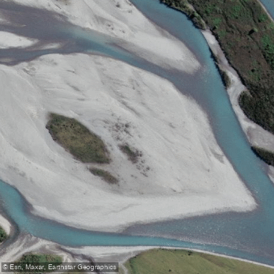
Hokitika River
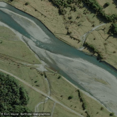
Arahura River
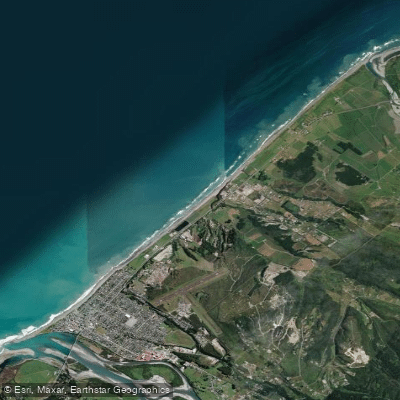
Hokitika Beach
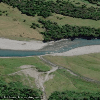
Kokatahi River
Toaroha River
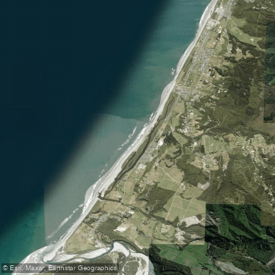
South Beach
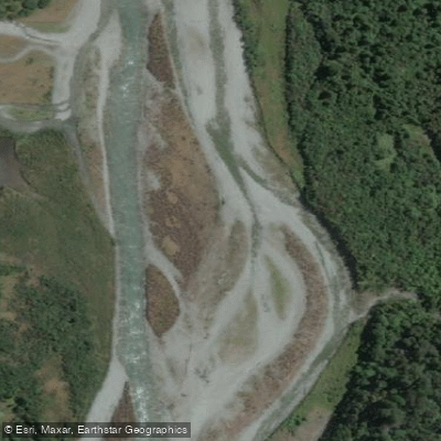
Taipo River
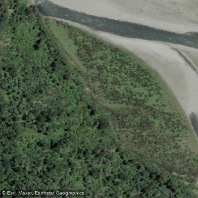
Mikonui River
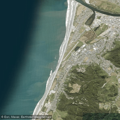
Kararo Beach
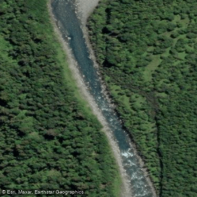
Waitaha River
Explore West Coast waters
Top paddling waters
No waters available right now.
Popular Cities
Loading popular cities...
Explore near Lake Mueller

Smarter Paddling Starts in the App.
Paddleways gives you everything you need to plan smarter, paddle better, and own every trip from first launch to takeout.