Ōkārito River
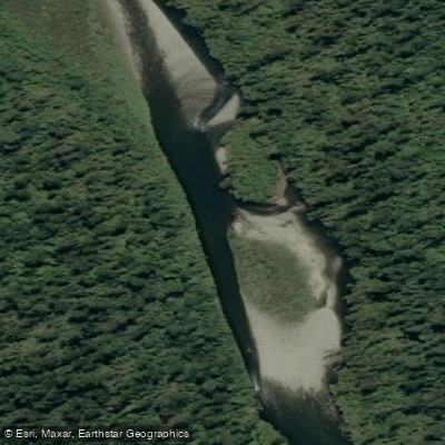
Ōkārito River
- Boat Ramps
- 0
- Access Points
- 0
- Campsites
- 0
The Ōkārito River flows from the outlet of Lake Mapourika and travels roughly parallel to State Highway 6 for 4–5 km before turning onto the Forks Okarito Road corridor, passing the Wahapo Hydro Power Station, and eventually draining into Ōkārito Lagoon. The full run is rated Class II/III and covers enough distance to require either a car shuttle or a 17 km bike ride between put-in and take-out.
The standard put-in is at McDonalds Campsite on the shore of Lake Mapourika along SH6. Additional access points exist at several small lay-bys along the road, at the Trustpower Wahapo Hydro Power Station, at the Tidal Creek junction with Forks Okarito Road, and at the Okarito Historic Wharf. The upper section from Lake Mapourika is nearly flat Class I water. Gradient increases noticeably from the Forks Okarito Road junction, producing a series of Class II rapids down to the Power Station. The two most significant rapids sit immediately below the Power Station outflow, where the increased flow creates the trip's main technical challenges. Both rapids are described as easily portagable at sensible water levels. Below these, the river eases in gradient and meanders through wetland before feeding into Ōkārito Lagoon.
The final 4 km of the trip is a flat-water crossing of Ōkārito Lagoon to either the Okarito Wharf or Tidal Creek, where a lay-by and steps provide easy road access. The lagoon is tidal, and paddlers should be aware that tidal flows, afternoon sea breezes, and the slower pace of a packraft can make this section considerably slower than expected. Timing the lagoon crossing to avoid afternoon headwinds is advisable, and consulting local tide charts before departure is recommended. The DOC kayak trail brochure for the lagoon notes that paddlers should stay upstream of the wharf building, as the flow and shifting mouth of the lagoon beyond that point can be dangerous.
The surrounding environment includes some of New Zealand's intact temperate rainforest, with kahikatea and rimu standing along the water's edge. The lagoon itself, at 3,240 ha, is New Zealand's largest unmodified coastal wetland. The river also supports a resident brown trout population and sea-run chinook salmon, which enter from December through April. Estimated paddling time is approximately two hours from Lake Mapourika to the Wahapo Power Station, and a further two hours from the Power Station to Okarito.
Water access, boat ramps & amenities
Learn how to get on Ōkārito River. Uncover great paddling access points, boat ramps, and all the facilities you need for an unforgettable day on the water. Some locations shown may border or include private property. Always check property boundaries and applicable regulations before visiting. PaddleWays's Public & Private Land layer can help you plan your access with confidence.
Paddle smarter with real-time insights
Whether you're en route and conditions shift or you're looking for the best spot based on current flows, we enable you to make informed decisions on the fly.







West Coast licenses and regulations
No licenses or regulations available for West Coast.
Find Places to Paddle

Over 400,000 Places to Paddle
Every user gets free access to launch points, boat ramps, and public property parcels.


Water and weather conditions (10 day forecast)
See the best times to paddle Ōkārito River and check the forecast before you go.
No forecast data available.
Paddling near Ōkārito River
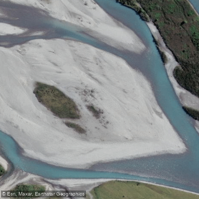
Hokitika River
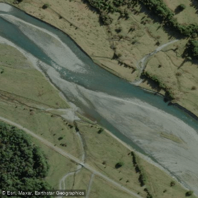
Arahura River
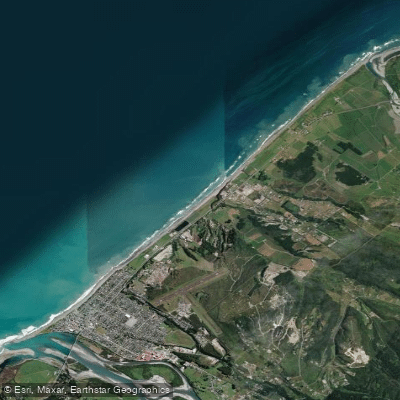
Hokitika Beach
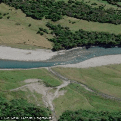
Kokatahi River
Toaroha River
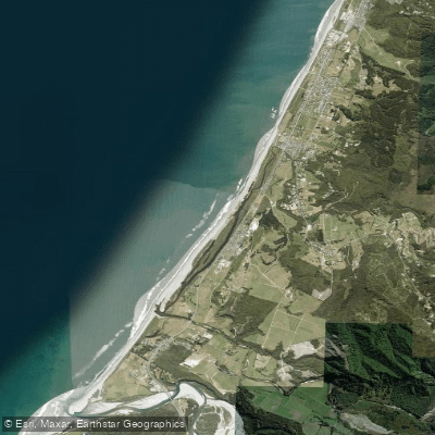
South Beach
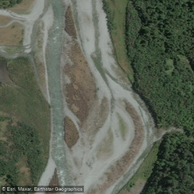
Taipo River
Mikonui River
Kararo Beach
Waitaha River
Explore West Coast waters
Top paddling waters
No waters available right now.
Popular Cities
Loading popular cities...
Explore near Ōkārito River

Smarter Paddling Starts in the App.
Paddleways gives you everything you need to plan smarter, paddle better, and own every trip from first launch to takeout.