Lake Wahapo / Wahapako
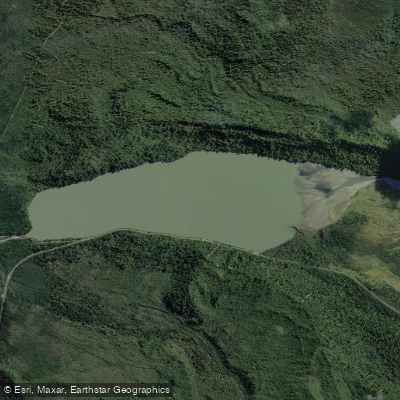
Lake Wahapo / Wahapako
- Boat Ramps
- 0
- Access Points
- 0
- Campsites
- 0
Lake Wahapo (Māori: Wahapako) is a small glacial lake in South Westland on New Zealand's South Island, located within Westland Tai Poutini National Park. It sits at an elevation of 48 metres, roughly 82 kilometres southwest of Hokitika and about 16 kilometres northwest of Franz Josef / Waiau, positioned between the settlements of Whataroa and Ōkārito, approximately 7 kilometres from each. The lake measures 2.6 kilometres in length, reaches a maximum width of 1.2 kilometres, and covers a surface area of approximately 2.3 square kilometres, with a shoreline of around 6.8 kilometres.
State Highway 6 follows the southern shore for about 1.6 kilometres, making the lake straightforwardly accessible to travellers passing through the region. The lake's primary inflow is the Waitangitāhuna River, which changed course to flow into the lake in 1967, an event that considerably altered the lake's ecology. Water exits the lake via a small hydroelectric power station commissioned in 1960, discharging into the Ōkārito River.
The lake holds cultural significance as a traditional mahinga kai (food-gathering place) for local Māori. The surrounding landscape is characteristic of South Westland, with the area lying near the northern edge of Te Wahipounamu, the UNESCO-designated South West New Zealand World Heritage Area.
For paddlers interested in the broader area, the nearby Ōkārito Lagoon — accessible roughly 10 kilometres off the main highway between Lake Mapourika and Lake Wahapo — is a notable destination, described as New Zealand's largest unmodified wetland and offering guided kayak tours through tannin-stained waterways bordered by kahikatea and rimu forest. Lake Wahapo itself serves as a geographic landmark along this stretch of State Highway 6, and its easy road access from the southern shore makes it a convenient stopping point for those exploring the West Coast.
Water access, boat ramps & amenities
Learn how to get on Lake Wahapo / Wahapako. Uncover great paddling access points, boat ramps, and all the facilities you need for an unforgettable day on the water. Some locations shown may border or include private property. Always check property boundaries and applicable regulations before visiting. PaddleWays's Public & Private Land layer can help you plan your access with confidence.
Paddle smarter with real-time insights
Whether you're en route and conditions shift or you're looking for the best spot based on current flows, we enable you to make informed decisions on the fly.







West Coast licenses and regulations
No licenses or regulations available for West Coast.
Find Places to Paddle

Over 400,000 Places to Paddle
Every user gets free access to launch points, boat ramps, and public property parcels.


Water and weather conditions (10 day forecast)
See the best times to paddle Lake Wahapo / Wahapako and check the forecast before you go.
No forecast data available.
Paddling near Lake Wahapo / Wahapako
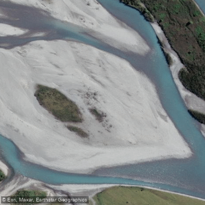
Hokitika River
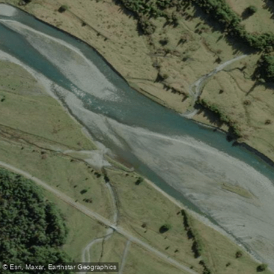
Arahura River
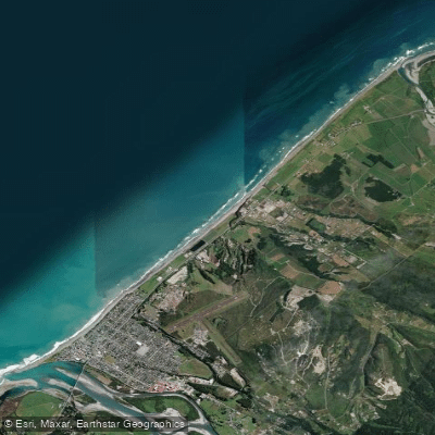
Hokitika Beach
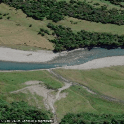
Kokatahi River
Toaroha River
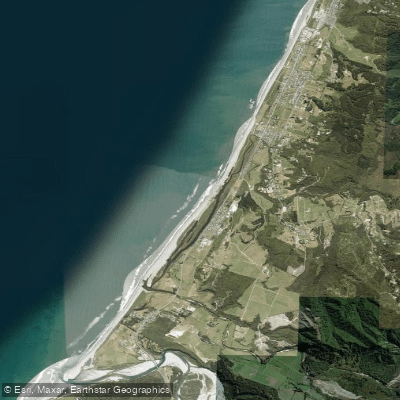
South Beach
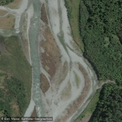
Taipo River
Mikonui River
Kararo Beach
Waitaha River
Explore West Coast waters
Top paddling waters
No waters available right now.
Popular Cities
Loading popular cities...
Explore near Lake Wahapo / Wahapako

Smarter Paddling Starts in the App.
Paddleways gives you everything you need to plan smarter, paddle better, and own every trip from first launch to takeout.