Lake Mapourika / Māpouriki
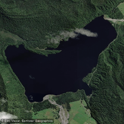
Lake Mapourika / Māpouriki
- Boat Ramps
- 0
- Access Points
- 0
- Campsites
- 3
Lake Mapourika (also written Māpouriki) sits at an altitude of 52 metres on New Zealand's West Coast, roughly 8.6 kilometres north of Franz Josef village — about a seven-minute drive. It is the largest lake within the national park, covering approximately 889.7 hectares, and lies within a UNESCO World Heritage site. Five in-flowing streams feed the lake, with McDonald's Creek being the primary one and the main spawning river for Quinnat salmon.
Unlike many glacially fed lakes in the region, Mapourika is no longer connected to a glacier, which means its water temperatures are considerably warmer than typical alpine lakes. Water temperatures can reach around 20°C in summer, making it comfortable for both paddling and swimming. The water has a distinctive dark appearance due to tannins leaching from the surrounding rainforest — a characteristic that gives it a tea-coloured quality rather than the turquoise typical of glacial lakes. The lake is encircled by native rainforest, with views extending to the snow-capped peaks of the Southern Alps and glaciers.
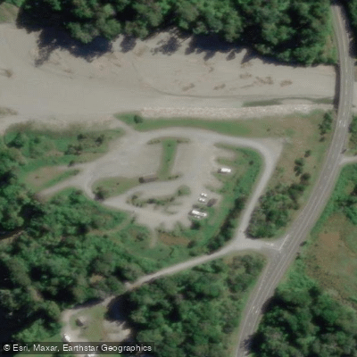
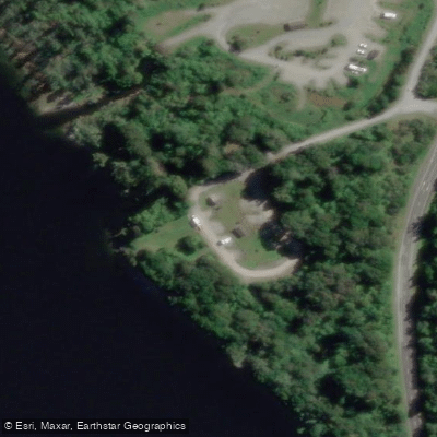
The main Jetty Bay access point at the southern end of the lake is Jetty Bay, where a concrete boat launching ramp sits adjacent to a wharf. Basic facilities at Jetty Bay include a toilet and a picnic table. Swimmers are advised not to dive from the end of the jetty due to shallow water. There is no camping at Jetty Bay; the established DOC campsite (Otto's/McDonald's) is located at the northern end of the lake.
Paddlers can explore hidden creeks feeding into the lake and have opportunities to spot native birdlife. The calm water surface reflects the surrounding peaks and forest. Guided kayak tours operate on the lake, with Franz Josef Wilderness Tours being one operator offering trips that include exploration of a protected rainforest conservation area adjacent to the lake.
Summer (December to February) is generally considered the best season for paddling in the region, with warmer temperatures and more daylight hours. Autumn (March to May) offers quieter conditions with fewer visitors. The West Coast receives significant rainfall overall, so weather variability is a practical consideration when planning any trip to the area.
Water access, boat ramps & amenities
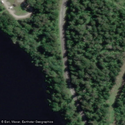
Learn how to get on Lake Mapourika / Māpouriki. Uncover great paddling access points, boat ramps, and all the facilities you need for an unforgettable day on the water. Some locations shown may border or include private property. Always check property boundaries and applicable regulations before visiting. PaddleWays's Public & Private Land layer can help you plan your access with confidence.
Paddle smarter with real-time insights
Whether you're en route and conditions shift or you're looking for the best spot based on current flows, we enable you to make informed decisions on the fly.







West Coast licenses and regulations
No licenses or regulations available for West Coast.
Find Places to Paddle

Over 400,000 Places to Paddle
Every user gets free access to launch points, boat ramps, and public property parcels.


Water and weather conditions (10 day forecast)
See the best times to paddle Lake Mapourika / Māpouriki and check the forecast before you go.
No forecast data available.
Paddling near Lake Mapourika / Māpouriki
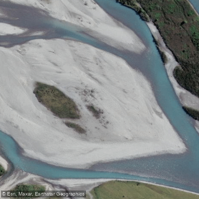
Hokitika River
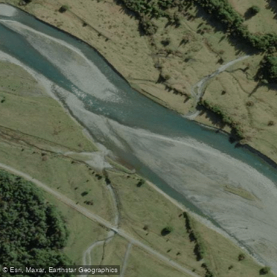
Arahura River
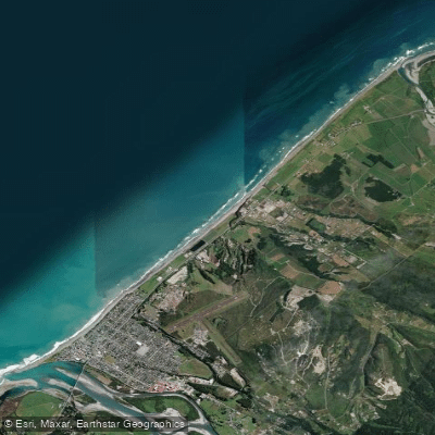
Hokitika Beach
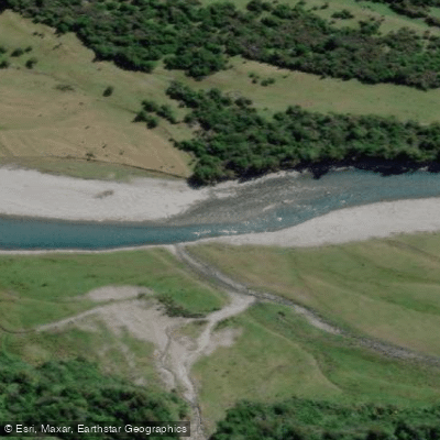
Kokatahi River
Toaroha River
South Beach
Taipo River
Mikonui River
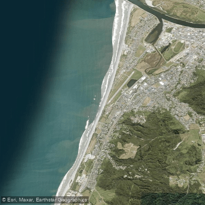
Kararo Beach
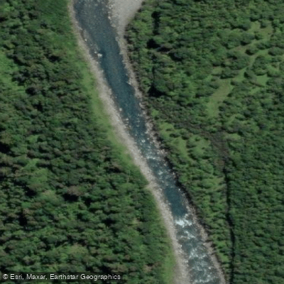
Waitaha River
Explore West Coast waters
Top paddling waters
No waters available right now.
Popular Cities
Loading popular cities...
Explore near Lake Mapourika / Māpouriki

Smarter Paddling Starts in the App.
Paddleways gives you everything you need to plan smarter, paddle better, and own every trip from first launch to takeout.