Paterson Inlet / Whaka a Te Wera
- Saltwater
- Inlet
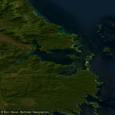
Paterson Inlet / Whaka a Te Wera
- Saltwater
- Inlet
- Sq. miles
- 39
- Boat Ramps
- 0
- Access Points
- 0
- Campsites
- 1
Paterson Inlet / Whaka a Te Wera is a large, shallow ria, or submerged ancient river valley, located on Stewart Island Rakiura in Southland, New Zealand. It is one of the largest sheltered harbours in southern New Zealand. The primary access point for paddlers is the township of Oban, from which guided tours and independent launches are possible. The waters are noted for their exceptional clarity due to minimal sediment and nutrient run-off from the pristine, undeveloped land surrounding the inlet. The southern coast of Ulva Island, which sits within the inlet, is specifically highlighted as an excellent area for kayaking and canoeing. Paddlers in this area can expect to see wildlife such as fur seals, sea lions, and yellow-eyed penguins. The inlet is part of the Ulva Island-Te Wharawhara Marine Reserve, a protected area teeming with marine life. Water temperatures are cold year-round, with an average of 12 degrees Celsius in February dropping to around 8 degrees in July, necessitating appropriate thermal protection such as wetsuits for any extended immersion. The inlet's geography creates a generally sheltered environment, though paddlers must always be mindful of weather changes typical of southern New Zealand. Its historical significance includes early Māori settlement and later European activities like sawmilling, with remnants such as eucalyptus groves visible along the shores. For navigation, official New Zealand Raster Navigational Charts (RNC) for Paterson Inlet are available digitally.
Water access, boat ramps & amenities
Learn how to get on Paterson Inlet / Whaka a Te Wera. Uncover great paddling access points, boat ramps, and all the facilities you need for an unforgettable day on the water. Some locations shown may border or include private property. Always check property boundaries and applicable regulations before visiting. PaddleWays's Public & Private Land layer can help you plan your access with confidence.
Paddle smarter with real-time insights
Whether you're en route and conditions shift or you're looking for the best spot based on current flows, we enable you to make informed decisions on the fly.







Southland licenses and regulations
No licenses or regulations available for Southland.
Find Places to Paddle

Over 400,000 Places to Paddle
Every user gets free access to launch points, boat ramps, and public property parcels.


Tides, wind & water conditions (10 day forecast)
On open water, wind and tide matter as much as the weather. See the best times to paddle Paterson Inlet / Whaka a Te Wera and check the marine forecast before you launch.
Loading tide predictions…
Paddling near Paterson Inlet / Whaka a Te Wera
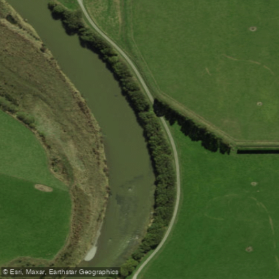
Õreti River
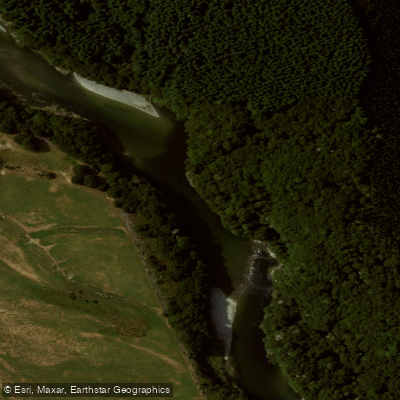
Waiau River
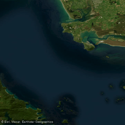
Te Ara-a-Kiwa / Foveaux Strait
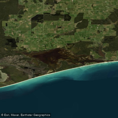
Waipārera / Waituna Lagoon
Rakeahua River
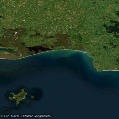
Toetoes Bay
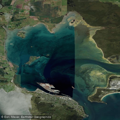
Awarua / Bluff Harbour
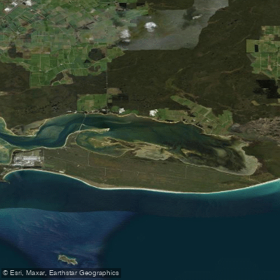
Awarua Bay / Poupoumoana / Te Wai-o-te-whawhaki
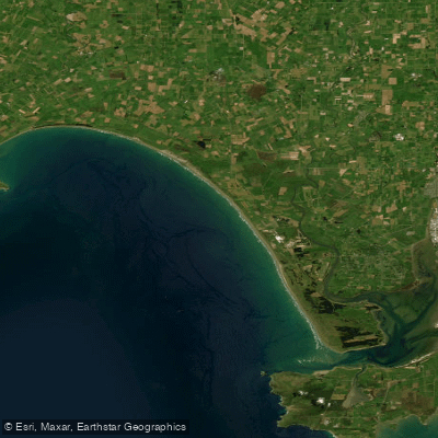
Ōreti Beach
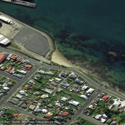
Morrison Beach
Explore Southland waters
Top paddling waters
No waters available right now.
Popular Cities
Loading popular cities...
Explore near Paterson Inlet / Whaka a Te Wera

Smarter Paddling Starts in the App.
Paddleways gives you everything you need to plan smarter, paddle better, and own every trip from first launch to takeout.