Lake Wairarapa
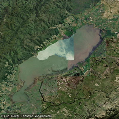
Lake Wairarapa
- Boat Ramps
- 0
- Access Points
- 0
- Campsites
- 1
Lake Wairarapa is a large, shallow lake located south of Featherston in the Wairarapa region of New Zealand's North Island. It forms the centrepiece of the Wairarapa Moana Wetlands, an area that also encompasses Lake Ōnoke, neighbouring wetlands, the Wairarapa Lake Shore Scenic Reserve, and Ōnoke Spit. The lake holds considerable cultural and spiritual significance for local Māori, who have regarded it as a taonga (treasure) for hundreds of years.
The lake's shallow depth means the water carries a high sediment load, giving it a characteristically muddy appearance. Kayaking is a recognised activity on the lake, with established launch points at Lake Domain Reserve, Wairarapa Lake Shore Scenic Reserve, Ōnoke Spit, and Lake Ōnoke. These reserves also offer free camping with toilet facilities, though paddlers will need to bring their own drinking water.
A 5-knot speed limit applies on Lake Wairarapa under Greater Wellington Regional Council bylaws, consistent with Maritime Rules Part 91. This regulation governs all motorised vessel traffic on the lake and is worth noting when assessing conditions alongside other watercraft.
Water quality is generally considered safe for water contact activities, though paddlers should avoid the lake for at least two days following heavy rainfall, as runoff from urban and rural land can temporarily degrade water quality. Lake Ōnoke, which connects to the lake system, carries a specific hazard when its mouth is open to the sea, as strong tidal flows make it dangerous — paddlers should be aware of this when planning routes that extend into that area.
The surrounding wetlands support a wide variety of birdlife, making the area of interest to paddlers who enjoy wildlife observation. The flat terrain around the lake and its position between the Tararua Range and Palliser Bay means the area can be exposed to wind, which is reflected in Lake Ōnoke's popularity as a windsurfing location. Paddlers should factor wind exposure into trip planning, particularly on the open water of the main lake.
Brown trout are present in the lake, particularly around river deltas where tributaries such as the Tauherenikau River enter from the north near Featherston.
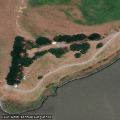
Water access, boat ramps & amenities
Learn how to get on Lake Wairarapa. Uncover great paddling access points, boat ramps, and all the facilities you need for an unforgettable day on the water. Some locations shown may border or include private property. Always check property boundaries and applicable regulations before visiting. PaddleWays's Public & Private Land layer can help you plan your access with confidence.
Paddle smarter with real-time insights
Whether you're en route and conditions shift or you're looking for the best spot based on current flows, we enable you to make informed decisions on the fly.







Wellington licenses and regulations
No licenses or regulations available for Wellington.
Find Places to Paddle

Over 400,000 Places to Paddle
Every user gets free access to launch points, boat ramps, and public property parcels.


Water and weather conditions (10 day forecast)
See the best times to paddle Lake Wairarapa and check the forecast before you go.
Boggy Pond Outlet Drain at Parera Rd
All Flow Stations
Paddling near Lake Wairarapa
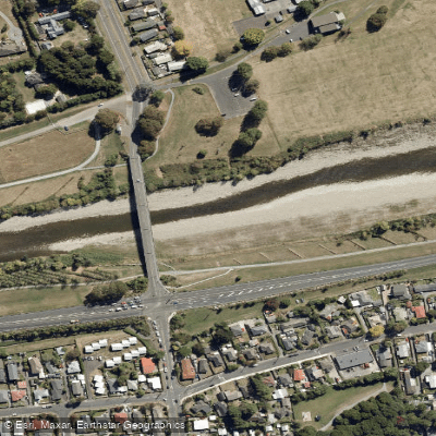
Te Awa Kairangi / Hutt River
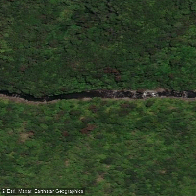
Tauwharenīkau River
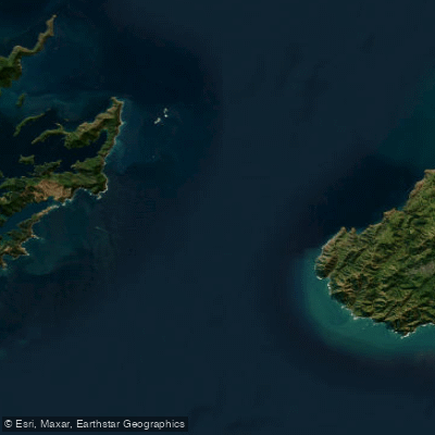
Te Moana-o-Raukawa / Cook Strait
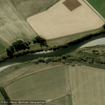
Ruamahanga River
Waikanae River
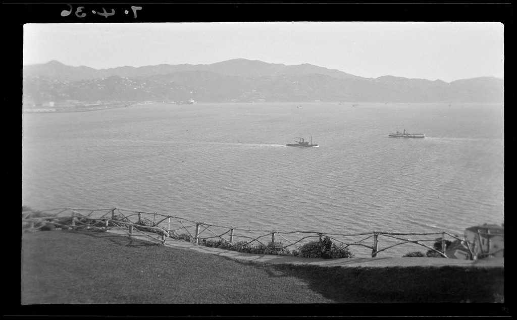
Wellington Harbour / Port Nicholson
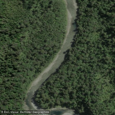
Waiohine River
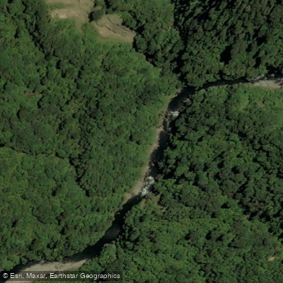
Ōtaki River
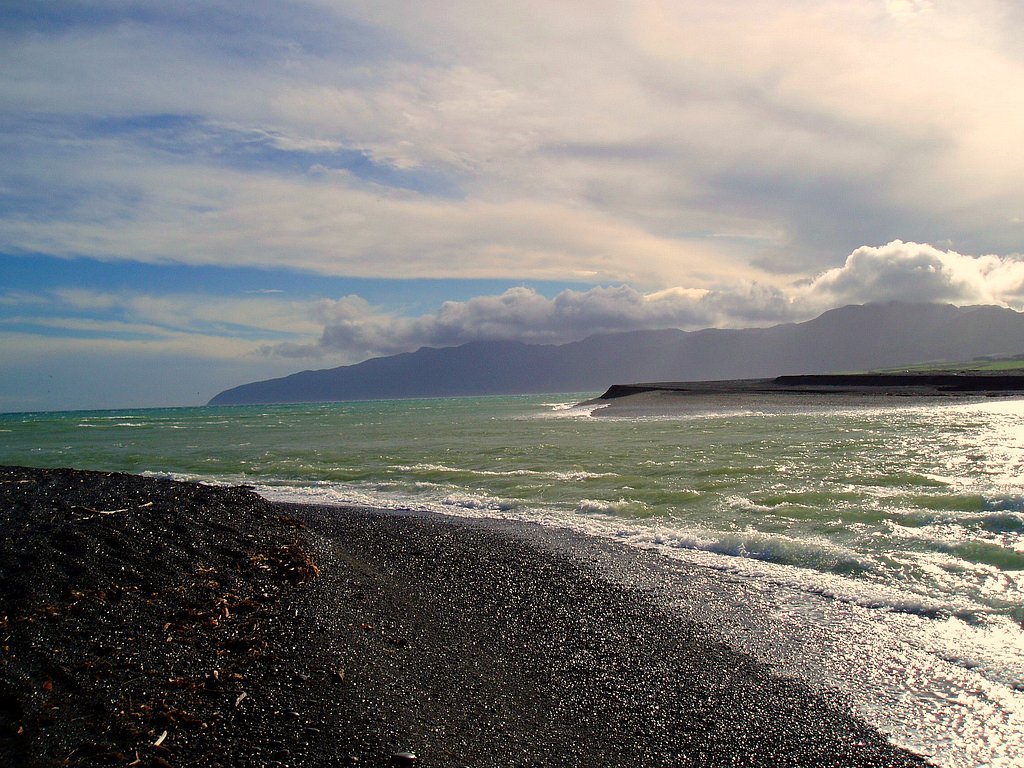
Palliser Bay
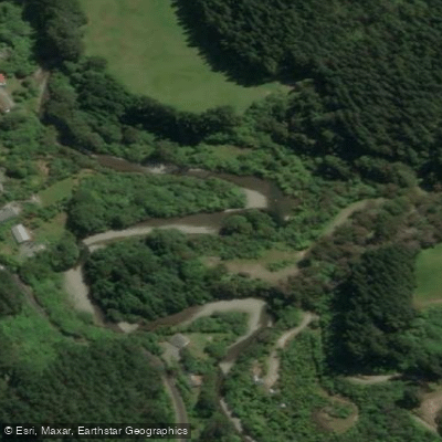
Akatarawa River
Explore Wellington waters
Top paddling waters
No waters available right now.
Popular Cities
Loading popular cities...
Explore near Lake Wairarapa

Smarter Paddling Starts in the App.
Paddleways gives you everything you need to plan smarter, paddle better, and own every trip from first launch to takeout.