Whakatīkei River
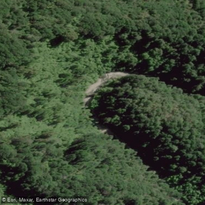
Whakatīkei River
- Boat Ramps
- 0
- Access Points
- 0
- Campsites
- 0
The Whakatīkei River is a small river located within the Akatarawa Forest, a network of mountain bike and 4WD trails in the Wellington region of New Zealand's North Island. It flows into the Hutt River (Te Awa Kairangi) and is graded I/II/III depending on the section paddled. The river has a notably wild and untouched character once on the water, with pretty gorges along the upper and middle sections that appeal particularly to packrafters and trampers.
Flow levels are the critical planning factor for this river. Because the catchment is small, water levels rise and drop rapidly in response to rainfall. Kayakers consider the lower section a flood run, and during summer the riverbed can be largely dry and walkable. The best approach is to paddle shortly after a significant rain event. Since the river has no publicly accessible gauge of its own, the Akatarawa River at Cemetery gauge serves as the best available approximation of conditions.
The Hutt Valley Canoe Club runs regular trips on the Whakatīkei, making it a recognized local paddling destination for whitewater enthusiasts in the region.
For access, the take-out options include a footbridge just before the Whakatīkei meets the Hutt River, with parking available at designated spots at the end of the cul-de-sac on Cory Jane Grove in River Stone Terraces. Paddlers can also continue a short distance down the Hutt River for additional rapids and easier driving access, with alternative take-outs at Hutt River/Poet's Corner or Hutt River/Moonshine Bridge.
Given its proximity to Wellington and its position within a managed forest area, the river is accessible but remains relatively lightly paddled, contributing to its undeveloped feel on the water.
Water access, boat ramps & amenities
Learn how to get on Whakatīkei River. Uncover great paddling access points, boat ramps, and all the facilities you need for an unforgettable day on the water. Some locations shown may border or include private property. Always check property boundaries and applicable regulations before visiting. PaddleWays's Public & Private Land layer can help you plan your access with confidence.
Paddle smarter with real-time insights
Whether you're en route and conditions shift or you're looking for the best spot based on current flows, we enable you to make informed decisions on the fly.







Wellington licenses and regulations
No licenses or regulations available for Wellington.
Find Places to Paddle

Over 400,000 Places to Paddle
Every user gets free access to launch points, boat ramps, and public property parcels.


Water and weather conditions (10 day forecast)
See the best times to paddle Whakatīkei River and check the forecast before you go.
Whakatikei River at Dude Ranch
Paddling near Whakatīkei River
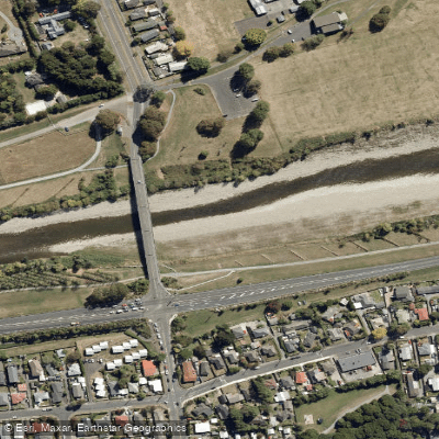
Te Awa Kairangi / Hutt River
Tauwharenīkau River
Te Moana-o-Raukawa / Cook Strait
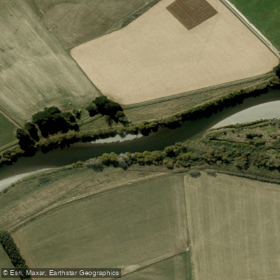
Ruamahanga River
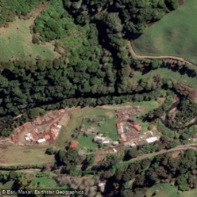
Waikanae River
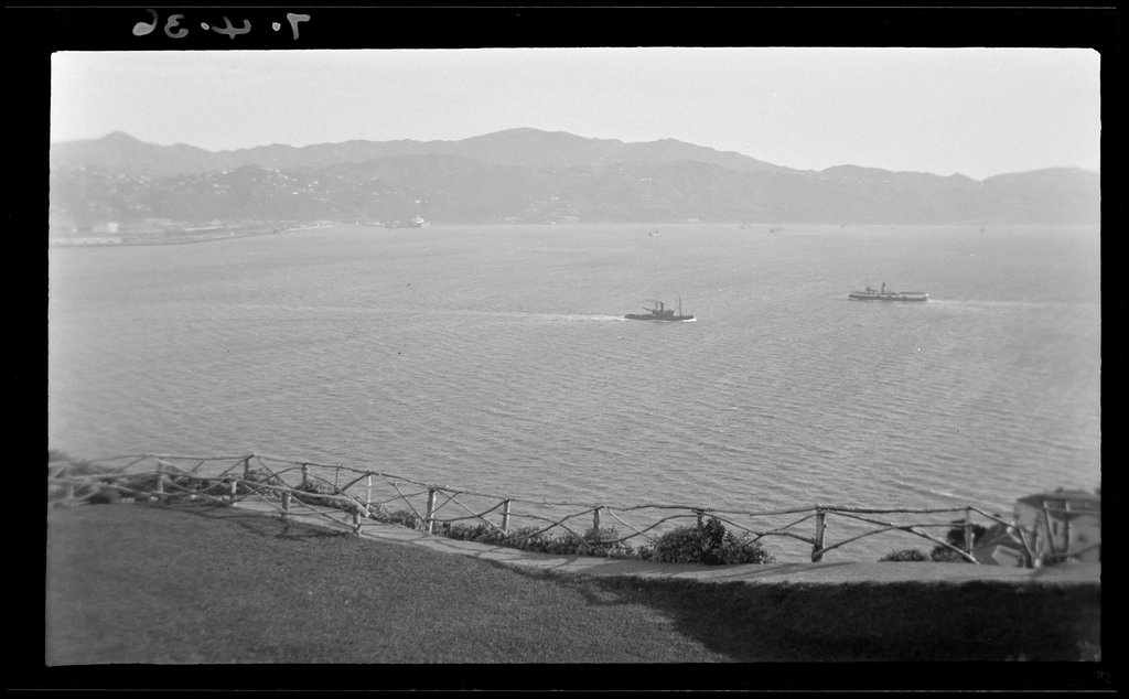
Wellington Harbour / Port Nicholson
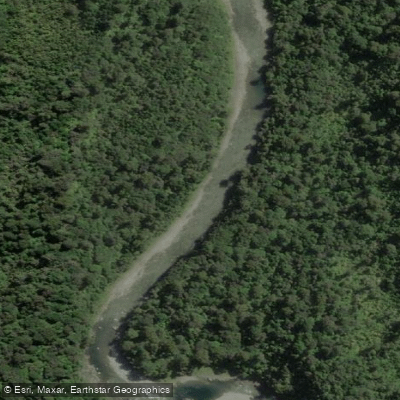
Waiohine River
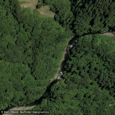
Ōtaki River
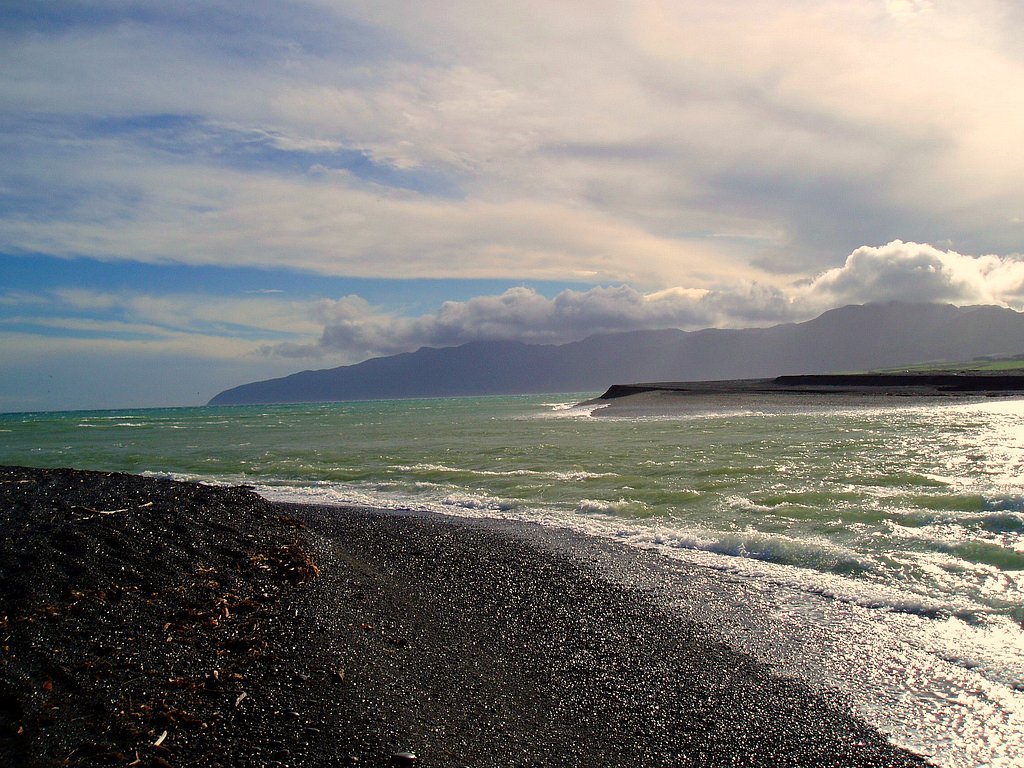
Palliser Bay
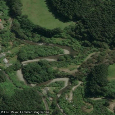
Akatarawa River
Explore Wellington waters
Top paddling waters
No waters available right now.
Popular Cities
Loading popular cities...
Explore near Whakatīkei River

Smarter Paddling Starts in the App.
Paddleways gives you everything you need to plan smarter, paddle better, and own every trip from first launch to takeout.