Landsborough River
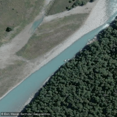
Landsborough River
- Boat Ramps
- 0
- Access Points
- 0
- Campsites
- 0
The Landsborough River is located on New Zealand's West Coast, flowing from the heart of the Southern Alps near Mt Cook National Park. It is a remote, wilderness river with no road access, no cell reception, and no nearby facilities, making it one of the more committing multi-day paddling destinations in the country.
Access has traditionally been by helicopter, with parties flying in to Kea Flat, which marks the upstream limit of air access due to the boundary of the Hooker Landsborough Wilderness Area, where landings are generally not permitted beyond that point. Alternatively, paddlers can hike in on foot, though this adds considerably to the commitment of the trip. The take-out is accessible by road, and the helicopter shuttle typically runs from the take-out to Kea Flat.
The river is rated Class III/IV and is regarded as one of the best advanced packrafting trips in New Zealand, as well as a destination for commercial multi-day rafting expeditions. The upper section contains more technical water, including a canyon section known as Upper Gates Gorge with major rapids that many parties choose to portage. There is also a canyon just downstream of Zora Creek, referred to in guidebooks as containing six waterfall drops and considered an expert-level challenge. The lower sections ease somewhat but maintain consistent gradient and pace. At lower to moderate flows, a competent Grade III team can manage the river by being diligent about scouting and eddying out ahead of larger features.
The surrounding landscape is heavily glaciated Southern Alps terrain, with thick native forest, glacial-colored water, and large mountain scenery. The river itself carries the characteristic blue-green color of glacial meltwater.
Commercial multi-day rafting trips run from November through to the end of March, with high water levels typical during spring snowmelt in November. Weather windows are an important planning consideration given the remote nature of the trip and the influence of West Coast rainfall patterns.
The Hooker Landsborough Wilderness Area designation affects helicopter landing permissions upstream of Kea Flat, which is a key regulatory consideration for trip planning. Guided packrafting trips are available through at least one commercial operator for paddlers who want experienced leadership on the river.
Water access, boat ramps & amenities
Learn how to get on Landsborough River. Uncover great paddling access points, boat ramps, and all the facilities you need for an unforgettable day on the water. Some locations shown may border or include private property. Always check property boundaries and applicable regulations before visiting. PaddleWays's Public & Private Land layer can help you plan your access with confidence.
Paddle smarter with real-time insights
Whether you're en route and conditions shift or you're looking for the best spot based on current flows, we enable you to make informed decisions on the fly.







West Coast licenses and regulations
No licenses or regulations available for West Coast.
Find Places to Paddle

Over 400,000 Places to Paddle
Every user gets free access to launch points, boat ramps, and public property parcels.


Water and weather conditions (10 day forecast)
See the best times to paddle Landsborough River and check the forecast before you go.
No forecast data available.
Paddling near Landsborough River
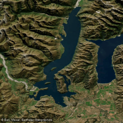
Lake Wānaka
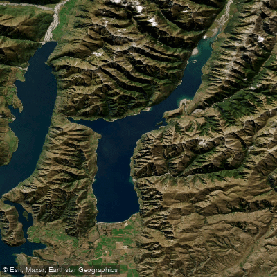
Lake Hāwea
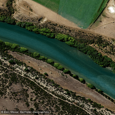
Clutha River / Mata-Au
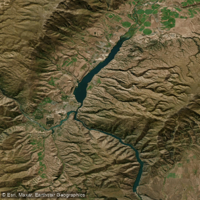
Lake Dunstan
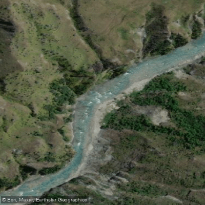
Shotover River

Clutha River / Mata-Au
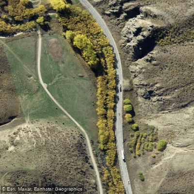
Lindis River
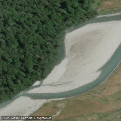
Makarora River
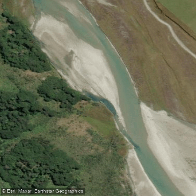
Rees River
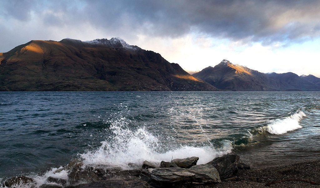
Lake Wakatipu
Explore West Coast waters
Top paddling waters
No waters available right now.
Popular Cities
Loading popular cities...
Explore near Landsborough River

Smarter Paddling Starts in the App.
Paddleways gives you everything you need to plan smarter, paddle better, and own every trip from first launch to takeout.