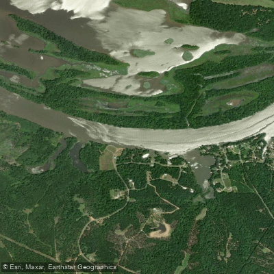
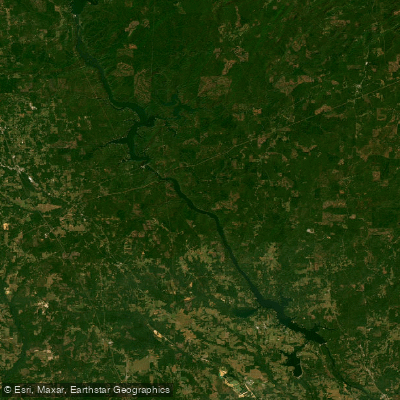
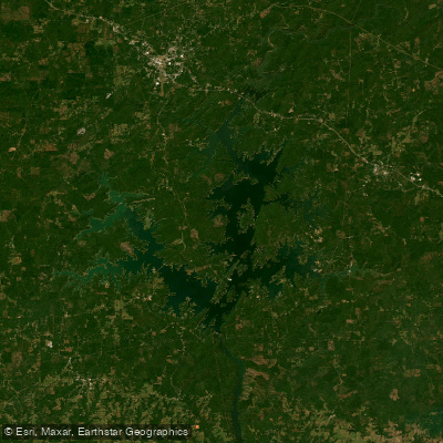
The Alabama River is a major waterway in the state of Alabama, formed by the confluence of the Coosa and Tallapoosa rivers near Montgomery. It flows southwestward for approximately 318 miles before joining the Tombigbee River to form the Mobile River just north of Mobile. The river drains much of central and southern Alabama, playing a crucial role in the state's ecology and economy.
Paddling opportunities on the Alabama River are diverse, ranging from calm flatwater sections suitable for beginners to more challenging whitewater areas for experienced kayakers and canoeists. The river is part of the Alabama Scenic River Trail, offering both day trips and multi-day adventures. Notable sections include the upper reaches near Montgomery, which provide scenic views and historical sites, and the lower portions as the river widens approaching Mobile Bay.
The difficulty of paddling varies along the river's course. Most sections are considered flatwater or Class I, making them accessible to novice paddlers. However, some tributaries and feeder streams can offer more challenging Class II-III rapids, particularly after heavy rains.
Spring and fall are generally the best seasons for paddling the Alabama River, offering comfortable temperatures and adequate water levels. Summer can be hot but still enjoyable, especially on the wider, slower sections. Winter paddling is possible but requires more preparation for cold weather.
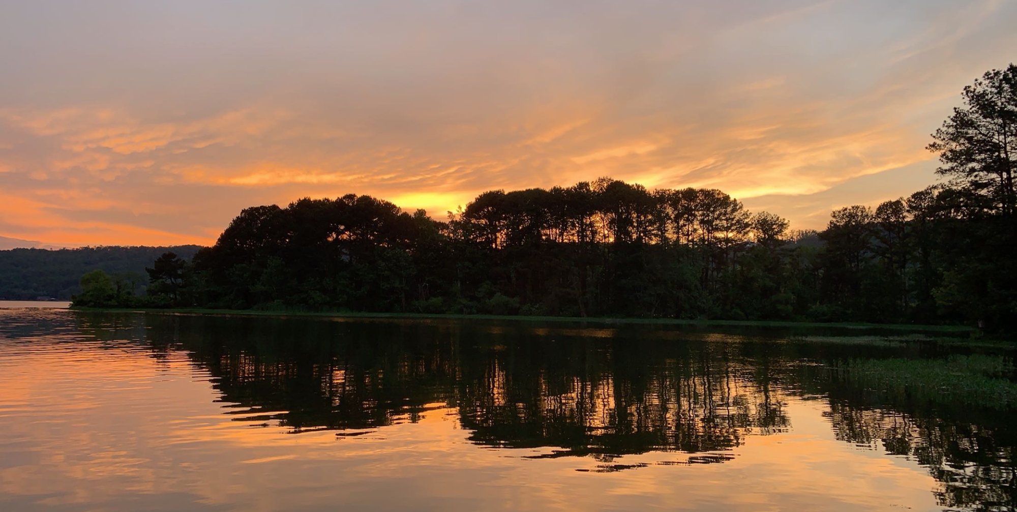
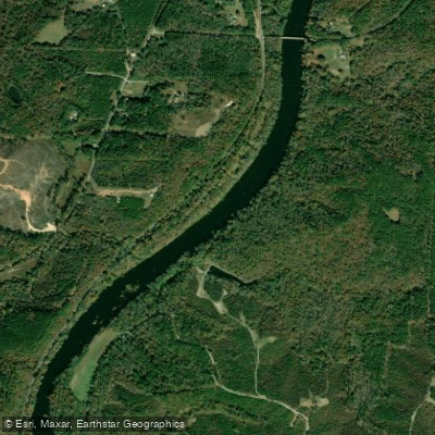
The river corridor supports a rich ecosystem, home to diverse wildlife including alligators, various fish species, and numerous birds. The banks are lined with hardwood forests, cypress swamps, and occasional limestone bluffs, providing a picturesque backdrop for paddlers.
Key landmarks along the river include historic sites such as old river towns, Native American mounds, and Civil War-era fortifications. The river passes through or near several cities, including Montgomery, Selma, and Camden, each offering unique cultural experiences and access points.
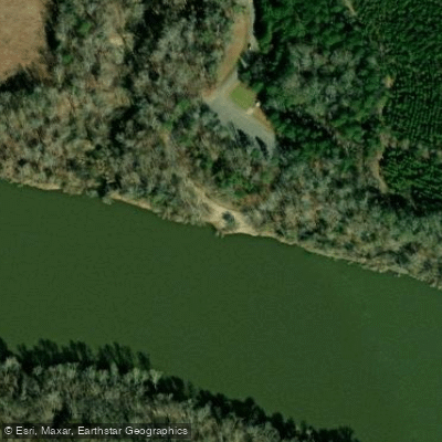
Major access points include boat ramps in Montgomery, Selma, and near Mobile. Many smaller towns along the river also provide put-in and take-out locations, making it easy to plan trips of various lengths.
The Alabama River holds significant historical and cultural importance, having been a major transportation route for Native Americans, early settlers, and later as a key artery for the steamboat era and Civil Rights movement.
Safety considerations include being aware of barge traffic on the lower sections, watching for submerged obstacles, and monitoring weather conditions. Paddlers should also be mindful of private property along the banks and follow Leave No Trace principles.
For those interested in multi-day trips, the Alabama Scenic River Trail offers numerous camping options, including sandbars, designated campsites, and nearby state parks, allowing paddlers to experience the full breadth of this majestic river's beauty and history.