Lewis Smith Lake
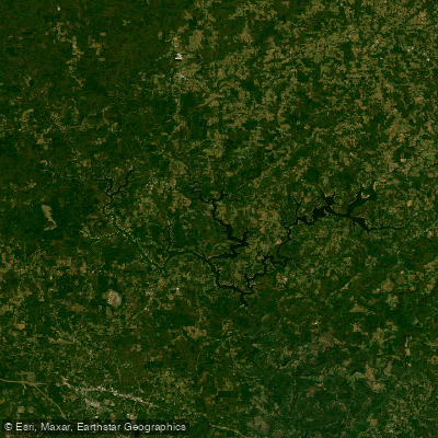
Lewis Smith Lake
- Boat Ramps
- 5
- Access Points
- 5
- Campsites
- 2
Lewis Smith Lake is a deep, clear reservoir in northern Alabama, known for its exceptional water quality and scenic beauty. The lake spans over 21,000 acres, with a shoreline length of 500 miles characterized by numerous coves and inlets. Its three-fingered shape and maximum depth of 264 feet make it the deepest lake in Alabama.
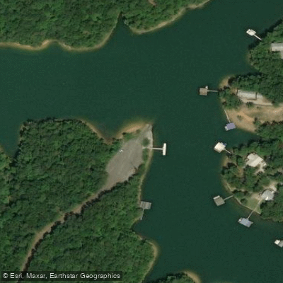
Access is plentiful, with around 10 public marinas and numerous public launch facilities. Smith Lake Park offers rentals and camping options. For an overnight adventure, paddlers can launch from Speegle's Marina and kayak to Goat Island for primitive camping.
The lake is renowned for its fishing opportunities, particularly for spotted bass, largemouth bass, and striped bass. Anglers should be prepared for a challenge, as the deep, clear waters can make fish wary. The lake's clarity also provides excellent conditions for wildlife viewing.
The lake's extensive shoreline and numerous coves offer ample exploration opportunities for paddlers. However, the lake's size and depth can create challenging conditions, so awareness of weather forecasts and personal skill levels is important.
Water levels are controlled by Alabama Power and fluctuate about 14 feet annually. The lake is generally considered one of the cleanest in the Southeast, which enhances the paddling experience. Surrounding the lake are scenic woodlands and towering cliffs, providing a picturesque backdrop for paddlers.
While there are no specific seasonal restrictions for paddlers, the lake's popularity for various water activities means paddlers should be aware of potential boat traffic, especially during peak summer months.
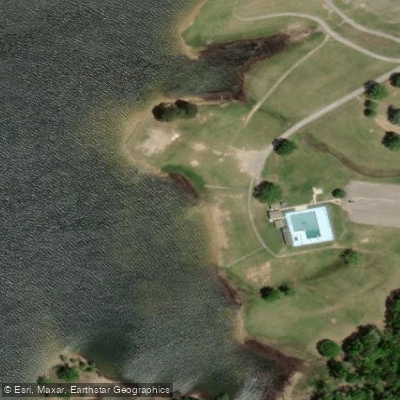
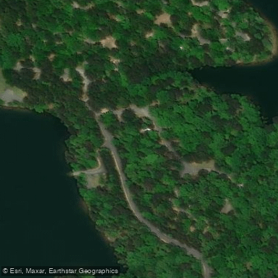
Water access, boat ramps & amenities
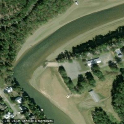
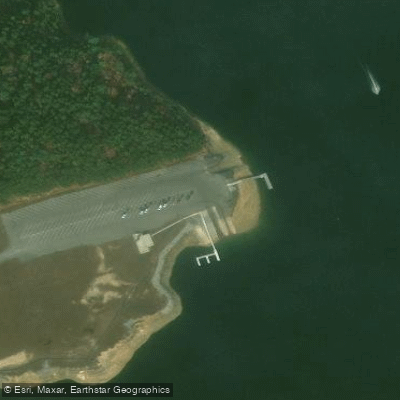
Learn how to get on Lewis Smith Lake. Uncover great paddling access points, boat ramps, and all the facilities you need for an unforgettable day on the water. Some locations shown may border or include private property. Always check property boundaries and applicable regulations before visiting. PaddleWays's Public & Private Land layer can help you plan your access with confidence.
Paddle smarter with real-time insights
Whether you're en route and conditions shift or you're looking for the best spot based on current flows, we enable you to make informed decisions on the fly.








Find Places to Paddle

Over 400,000 Places to Paddle
Every user gets free access to launch points, boat ramps, and public property parcels.


Water and weather conditions (10 day forecast)
See the best times to paddle Lewis Smith Lake and check the forecast before you go.
No forecast data available.
Paddling near Lewis Smith Lake

Tennessee River
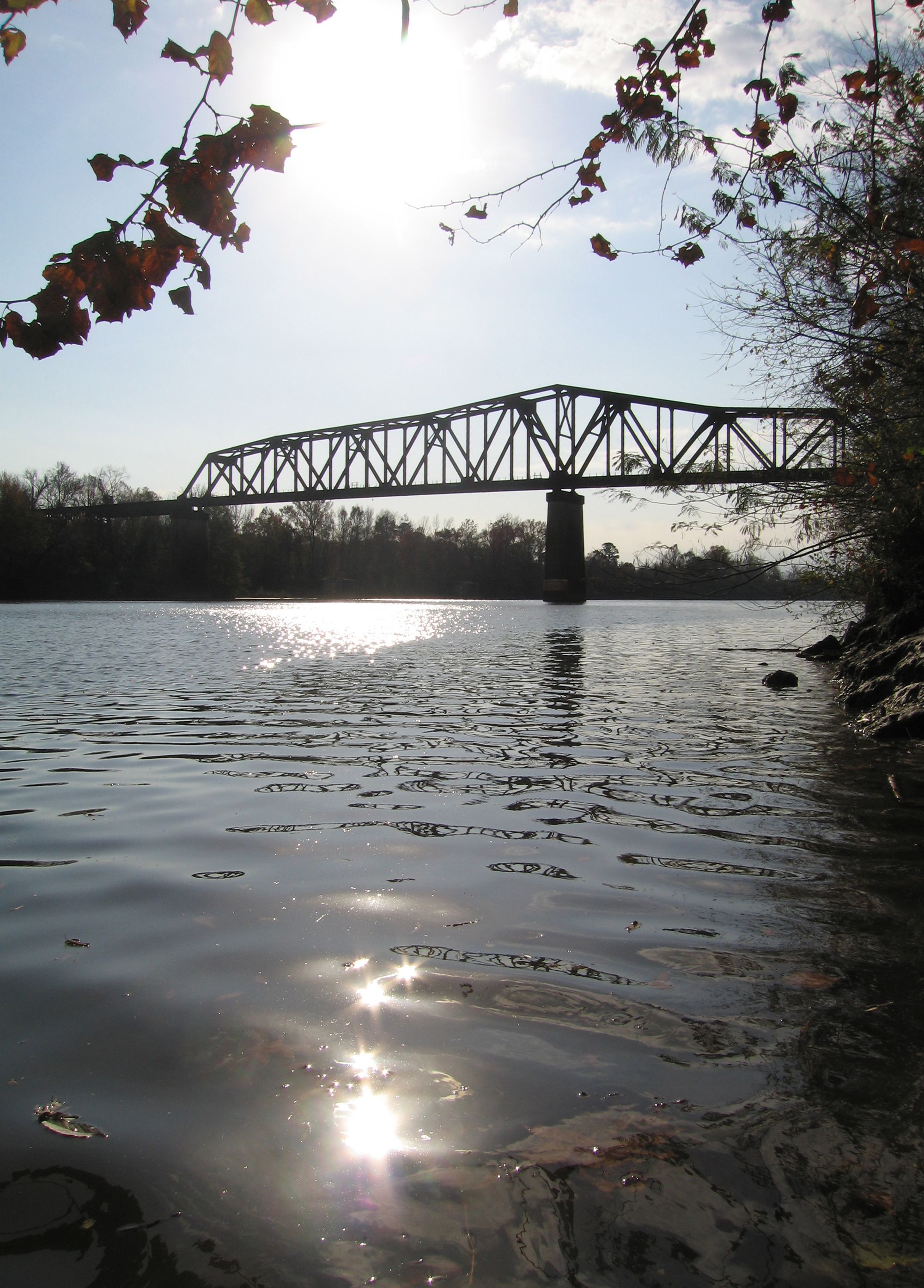
Black Warrior River
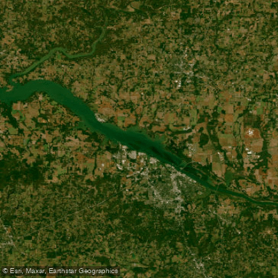
Wheeler Lake
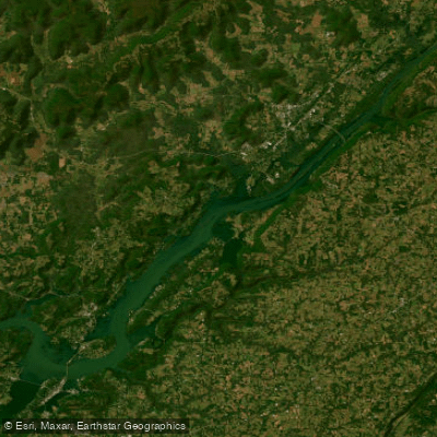
Guntersville Lake
Mulberry Fork
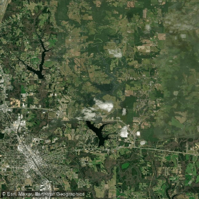
Lake Catoma
Flint Creek
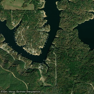
Sipsey Fork
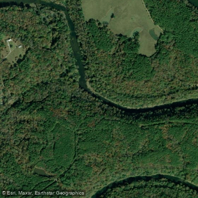
Locust Fork
Explore Alabama waters
Top paddling waters
Popular Cities
Loading popular cities...
Explore near Lewis Smith Lake
Access points
Nearby waters
More in Alabama

Smarter Paddling Starts in the App.
Paddleways gives you everything you need to plan smarter, paddle better, and own every trip from first launch to takeout.