Guntersville Lake
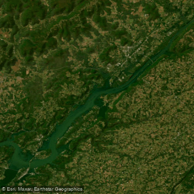
Guntersville Lake
- Boat Ramps
- 40
- Access Points
- 51
- Campsites
- 4
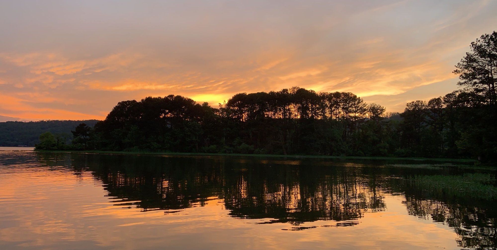
Guntersville Lake, Alabama's largest lake, offers excellent flatwater paddling surrounded by the Appalachian foothills. This 69,000-acre reservoir on the Tennessee River features 900 miles of shoreline, providing ample opportunities for exploration.
The lake is renowned for its fishing, particularly bass. Kayak anglers can participate in fishing tournaments held on the lake. Bald eagles are frequently spotted soaring overhead, especially in fall and winter months.
A highlight for paddlers is the Hambrick Bat Cave, located about a mile upriver from Guntersville Dam. Home to over 60,000 gray bats, it offers a unique evening paddling experience as the bats emerge en masse at dusk.
Several access points are available, including the boat ramp at Lake Guntersville State Park's fishing center on Highway 227. The park offers canoe and small motorboat rentals, as well as camping facilities. Town Creek, accessible from this area, provides a scenic paddle with opportunities to spot wildlife like herons, ducks, and river otters.
Short Creek, near the south end of the state park, can be accessed via a boat ramp on Highway 227. It offers a mix of wide, powerboat-friendly sections near the main lake and narrower, more secluded stretches upstream. Paddlers can explore small islands, sandbars, and observe local waterfowl.
The lake's water is generally clean, with some areas considered among the cleanest in the state. However, patches of invasive milfoil can make paddling challenging in certain sections, particularly in South Sauty Creek.
While specific seasonal water temperatures are not provided, the lake is suitable for year-round paddling. Spring and fall offer particularly scenic conditions with blooming dogwoods and colorful foliage respectively.
Water access, boat ramps & amenities
Learn how to get on Guntersville Lake. Uncover great paddling access points, boat ramps, and all the facilities you need for an unforgettable day on the water. Some locations shown may border or include private property. Always check property boundaries and applicable regulations before visiting. PaddleWays's Public & Private Land layer can help you plan your access with confidence.
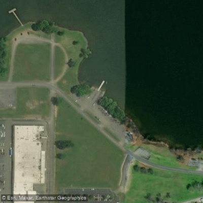
Guntersville Municipal Park Access
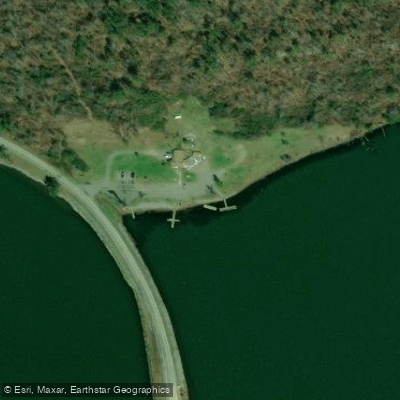
Town Creek Fishing Center Access
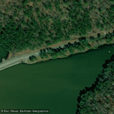
Short Creek Access
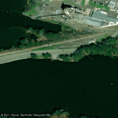
Rayford Tucker Poll Cat Access
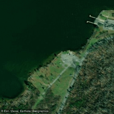
Trail of Tears Access
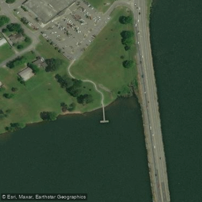
Thomas Avenue Access
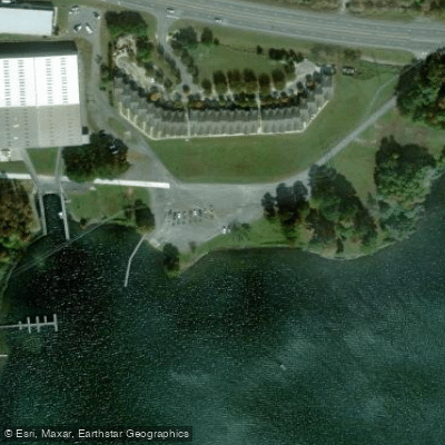
Tennessee Valley Authority Access
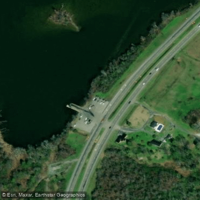
Marshall County Park Access
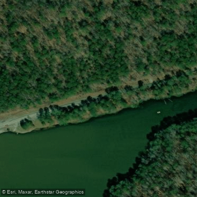
Short Creek Parking Area Access
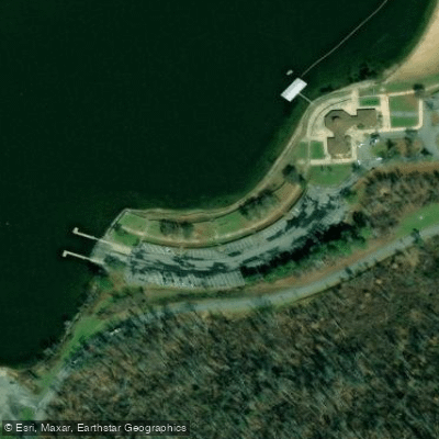
Lake Guntersville State Park Access
Paddle smarter with real-time insights
Whether you're en route and conditions shift or you're looking for the best spot based on current flows, we enable you to make informed decisions on the fly.








Find Places to Paddle

Over 400,000 Places to Paddle
Every user gets free access to launch points, boat ramps, and public property parcels.


Water and weather conditions (10 day forecast)
See the best times to paddle Guntersville Lake and check the forecast before you go.
No forecast data available.
Paddling near Guntersville Lake

Tennessee River
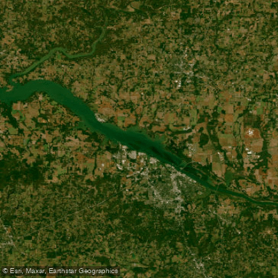
Wheeler Lake
Weiss Lake
Coosa River
H Neely Henry Lake
Short Creek
Mulberry Fork
Locust Fork
Town Creek
Explore Alabama waters
Top paddling waters
Popular Cities
Loading popular cities...
Explore near Guntersville Lake
Access points
- Long Island Boat Ramp
- Beech Creek Boat Ramp
- Lake Guntersville Yacht Club Boat Ramp
- Scottsboro City Park Boat Ramp
- Lake Guntersville State Park Boat Ramp
- TVA Public Boat Ramp
- Chisenhall Boat Ramp
- South Sauty Creek Boat Ramp
- Hwy 45 (Crow Creek) Boat Ramp
- Mink Creek Boat Ramp
- Hwy 2 Public Ramp (Mud Creek)
- JC Ramp in South Pittsburg Boat Ramp
- All 180 spots
Nearby waters
More in Alabama

Smarter Paddling Starts in the App.
Paddleways gives you everything you need to plan smarter, paddle better, and own every trip from first launch to takeout.