H Neely Henry Lake
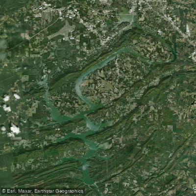
H Neely Henry Lake
- Boat Ramps
- 3
- Access Points
- 3
- Campsites
- 0
H Neely Henry Lake in Alabama is a 77.5-mile long reservoir with 339 miles of shoreline, offering diverse paddling experiences. The lake has two distinct configurations: a narrow, riverine section north of Gadsden with high banks, and a wider, more lake-like area below Gadsden. Paddlers can explore numerous tributaries, including Canoe Creek, Ballplay Creek, and Shoal Creek.
Access has recently improved with the opening of the Rainbow City Paddle Launch, providing the first assisted launch device on the lake. This floating dock, located at Rainbow Landing near the Southside Bridge on Alabama 77, allows paddlers to easily enter and exit their vessels. Additional public access sites are maintained by Alabama Power Company.
The lake is known for its clean water and excellent fishing opportunities, particularly for bass, crappie, and catfish. Bald eagles may be spotted soaring overhead. The shoreline offers a mix of scenic bluffs, wooded areas, and occasional sandy beaches.
Paddlers should be aware of potential hazards such as submerged stumps and timber, though efforts have been made to remove many of these obstacles. Navigational markers have been installed to improve safety. Water levels can fluctuate, so checking current conditions is advisable.
The Neely Henry Lake Association actively promotes lake preservation and recreation. They sponsor educational programs and participate in the "Renew Our Rivers" cleanup initiative. Paddlers are encouraged to use the fishing line receptacles placed at boat launches to help keep the lake clean and protect wildlife.
For those seeking a longer adventure, Neely Henry Lake is part of the Alabama Scenic River Trail, connecting to other waterways in the state's extensive river system. The lake's location near cities like Gadsden and Rainbow City ensures that amenities are readily available for paddlers planning extended trips.
Water access, boat ramps & amenities
Learn how to get on H Neely Henry Lake. Uncover great paddling access points, boat ramps, and all the facilities you need for an unforgettable day on the water. Some locations shown may border or include private property. Always check property boundaries and applicable regulations before visiting. PaddleWays's Public & Private Land layer can help you plan your access with confidence.
Paddle smarter with real-time insights
Whether you're en route and conditions shift or you're looking for the best spot based on current flows, we enable you to make informed decisions on the fly.








Find Places to Paddle

Over 400,000 Places to Paddle
Every user gets free access to launch points, boat ramps, and public property parcels.


Water and weather conditions (10 day forecast)
See the best times to paddle H Neely Henry Lake and check the forecast before you go.
COOSA RIVER NR SOUTHSIDE, ALA
Paddling near H Neely Henry Lake

Tennessee River
Coosa River
Weiss Lake
Guntersville Lake
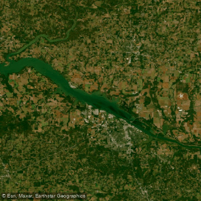
Wheeler Lake
Logan Martin Lake
Short Creek
Locust Fork
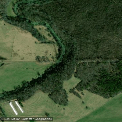
Big Wills Creek
Explore Alabama waters
Top paddling waters
Popular Cities
Loading popular cities...
Explore near H Neely Henry Lake
Access points
Nearby waters
More in Alabama

Smarter Paddling Starts in the App.
Paddleways gives you everything you need to plan smarter, paddle better, and own every trip from first launch to takeout.