Lay Lake
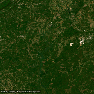
Lay Lake
- Boat Ramps
- 6
- Access Points
- 6
- Campsites
- 0
Lay Lake is a 12,000-acre reservoir located in east-central Alabama, about 35 minutes south of Birmingham. Impounded in 1914 by Alabama Power Company, the lake borders five counties: St. Clair, Talladega, Shelby, Coosa, and Chilton. Lay Lake offers diverse paddling opportunities with both riverine sections and calm sloughs.
Seven public access areas provide boat launches and bank access for paddlers. The lake is popular for recreational boating and fishing tournaments, so paddlers should be aware of motorized traffic, especially on weekends.
Lay Lake features a mix of environments, from shallow sloughs to deeper riverine sections. Creeks and shallow areas offer good opportunities for wildlife viewing and exploring. The tailwater area below Logan Martin Dam at the upstream end of the lake sees higher use.
Anglers frequent Lay Lake for its excellent bass fishing. Largemouth and spotted bass up to 18 inches are abundant. Crappie and bream can also be found around woody cover and weed beds, particularly in creeks and shallow sloughs.
The primary uses of Lay Lake are hydroelectric generation and recreation. Water levels may fluctuate due to dam operations, so paddlers should be aware of changing conditions. The lake's age and constant use for power generation may impact water quality at times.
Spring and fall likely offer the most pleasant paddling conditions, avoiding summer heat and winter chill. Early mornings or evenings can provide calmer waters and better wildlife viewing opportunities. Paddlers may spot a variety of waterfowl and possibly alligators, which are present in Alabama waterways.
While specific paddling regulations are not mentioned, standard boating laws apply. All paddlers must have a U.S. Coast Guard-approved life jacket on board, with children under 8 required to wear one at all times.
Water access, boat ramps & amenities
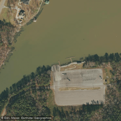
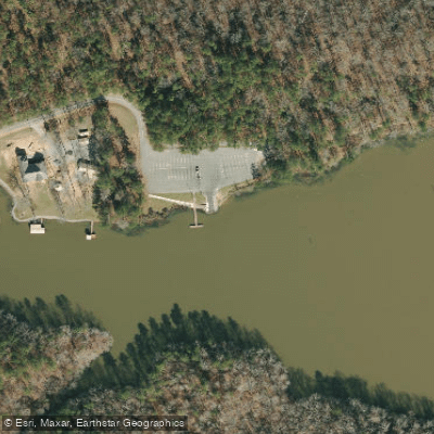
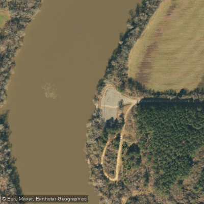
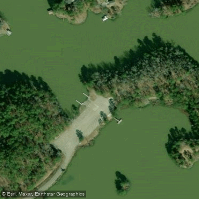
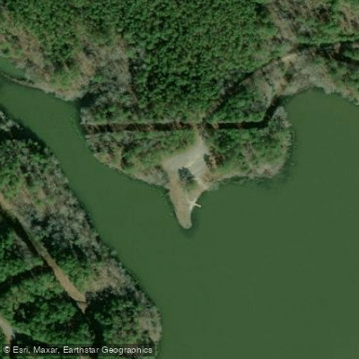
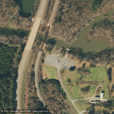
Learn how to get on Lay Lake. Uncover great paddling access points, boat ramps, and all the facilities you need for an unforgettable day on the water. Some locations shown may border or include private property. Always check property boundaries and applicable regulations before visiting. PaddleWays's Public & Private Land layer can help you plan your access with confidence.
Paddle smarter with real-time insights
Whether you're en route and conditions shift or you're looking for the best spot based on current flows, we enable you to make informed decisions on the fly.








Find Places to Paddle

Over 400,000 Places to Paddle
Every user gets free access to launch points, boat ramps, and public property parcels.


Water and weather conditions (10 day forecast)
See the best times to paddle Lay Lake and check the forecast before you go.
COOSA RIVER AT CHILDERSBURG AL
All Flow Stations
Paddling near Lay Lake
Black Warrior River
Demopolis Lake
Cahaba River
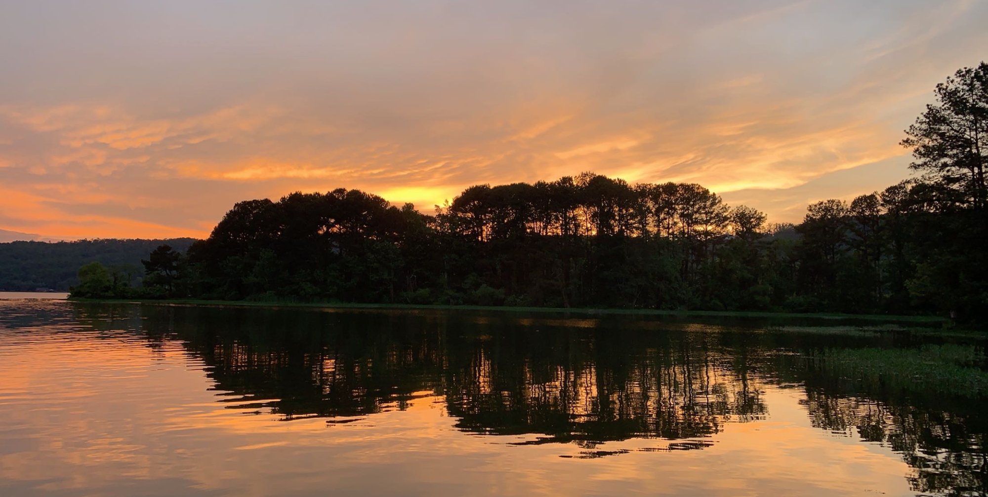
Coosa River
Oak Mountain Lake
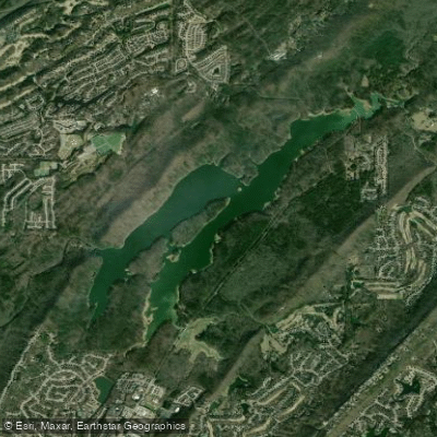
The Narrows
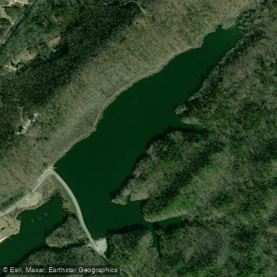
Lunker Lake
Holt Lake
Mitchell Lake
Explore Alabama waters
Top paddling waters
Popular Cities
Loading popular cities...
Explore near Lay Lake
Access points
Nearby waters
More in Alabama

Smarter Paddling Starts in the App.
Paddleways gives you everything you need to plan smarter, paddle better, and own every trip from first launch to takeout.