Bartletts Ferry Lake
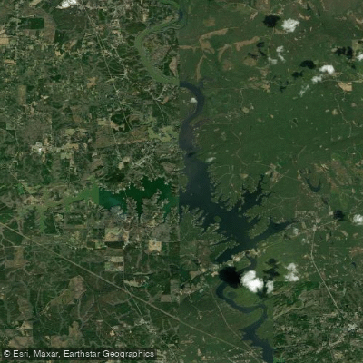
Bartletts Ferry Lake
- Boat Ramps
- 4
- Access Points
- 4
- Campsites
- 0
Bartletts Ferry Lake, also known as Lake Harding, is a 5,850-acre reservoir straddling the Alabama-Georgia border on the Chattahoochee River. The lake was created in 1926 by Georgia Power Company for hydroelectric generation and recreation.
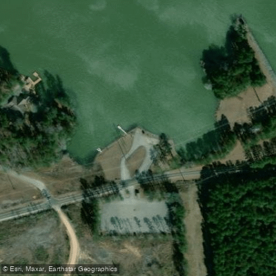
Paddlers can access the lake via three public boat ramps on the Alabama side: Chattahoochee Valley Recreation Park (Lee County Road 380), Halawakee Creek (Lee County Road 379), and near Bartlett's Ferry Dam (Lee County Road 334). The Sandy Point Recreation Area off County Road 334 provides additional access and bank fishing opportunities.
The lake features several islands, including Huston's Island with ruins of an old lake house. Major tributaries include Osanippa Creek and Halawakee Creek on the Alabama side, and Mountain Oak Creek in Georgia. The lake reaches depths over 100 feet near the dam.
Fishing is popular, with largemouth bass, spotted bass, striped bass, crappie, and catfish being common catches. Both Alabama and Georgia fishing licenses are valid. Shoal bass are protected from harvest in Alabama waters.
Paddlers should be aware that the upper end of the lake can be hazardous during low water flows. The lake sees less fishing pressure than nearby West Point Lake and Lake Eufaula, potentially offering a quieter experience.
On the Georgia side, Blanton Creek Wildlife Management Area borders much of the upper lake. Georgia Power operates Blanton Creek Park seasonally, providing an additional boat ramp and camping facilities.
For up-to-date information on lake levels and power generation schedules, which can affect paddling conditions, call 706-317-6000.
Water access, boat ramps & amenities
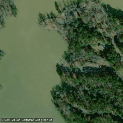
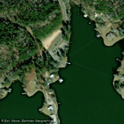
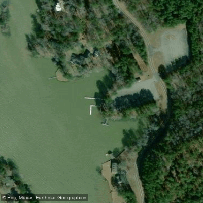
Learn how to get on Bartletts Ferry Lake. Uncover great paddling access points, boat ramps, and all the facilities you need for an unforgettable day on the water. Some locations shown may border or include private property. Always check property boundaries and applicable regulations before visiting. PaddleWays's Public & Private Land layer can help you plan your access with confidence.
Paddle smarter with real-time insights
Whether you're en route and conditions shift or you're looking for the best spot based on current flows, we enable you to make informed decisions on the fly.








Find Places to Paddle

Over 400,000 Places to Paddle
Every user gets free access to launch points, boat ramps, and public property parcels.


Water and weather conditions (10 day forecast)
See the best times to paddle Bartletts Ferry Lake and check the forecast before you go.
No forecast data available.
Paddling near Bartletts Ferry Lake

Chattahoochee River
West Point Lake
Martin Lake
Sougahatchee Lake
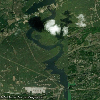
Goat Rock Lake
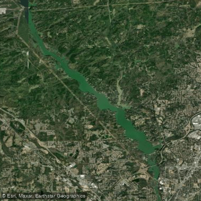
Lake Oliver
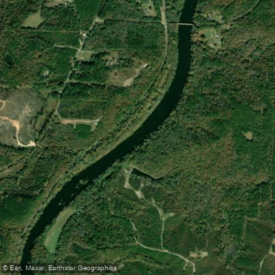
Tallapoosa River
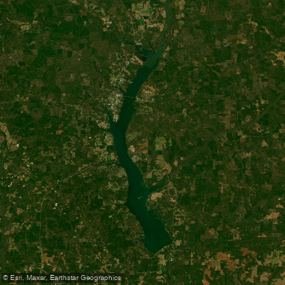
Walter F George Reservoir
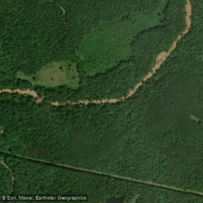
Sougahatchee Creek
Explore Alabama waters
Top paddling waters
Popular Cities
Loading popular cities...
Explore near Bartletts Ferry Lake
Access points
Nearby waters
More in Alabama

Smarter Paddling Starts in the App.
Paddleways gives you everything you need to plan smarter, paddle better, and own every trip from first launch to takeout.