Lake Oliver
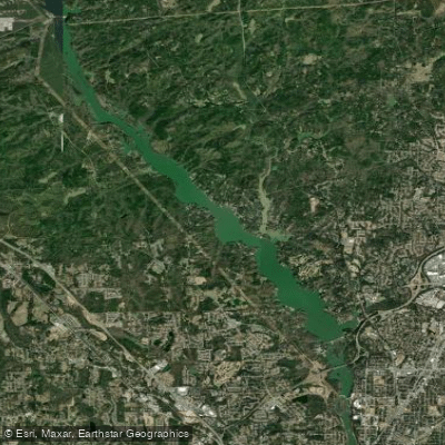
Lake Oliver
- Boat Ramps
- 1
- Access Points
- 1
- Campsites
- 0
Lake Oliver is a 2,150-acre reservoir on the Chattahoochee River, straddling the Georgia-Alabama border just north of Columbus. Created in 1959 by Georgia Power, the lake stretches 8 miles between Goat Rock Dam and Oliver Dam.
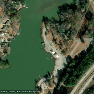
The City Marina of Columbus at the southern end provides the main boat launch, while the Goat Rock Recreation Area on the Alabama side offers a less crowded alternative. Kayaking, paddleboarding, and other non-motorized boating are popular activities on Lake Oliver. The lake's southern section near Columbus and Phenix City has a more urban character, while the northern reaches are more rural.
Fishing is excellent year-round, with anglers targeting spotted bass, largemouth bass, crappie, sunfish, bluegill, and warmouth. The lake tends to get busier during summer months, especially on weekends. Water levels can fluctuate due to dam operations.
The shoreline offers opportunities for hiking and biking. Wildlife viewing includes various bird species, turtles, and small mammals. The lake's aesthetic is a mix of forested banks and developed areas, with nearly 40 acres of shoreline.
The lake's linear shape lends itself to out-and-back paddling trips. Paddlers should be aware of motorboat traffic, especially during peak summer periods.
While primarily a recreational resource, Lake Oliver also serves as part of the Chattahoochee River's hydroelectric system, influencing its water levels and flow patterns.
Water access, boat ramps & amenities
Learn how to get on Lake Oliver. Uncover great paddling access points, boat ramps, and all the facilities you need for an unforgettable day on the water. Some locations shown may border or include private property. Always check property boundaries and applicable regulations before visiting. PaddleWays's Public & Private Land layer can help you plan your access with confidence.
Paddle smarter with real-time insights
Whether you're en route and conditions shift or you're looking for the best spot based on current flows, we enable you to make informed decisions on the fly.








Find Places to Paddle

Over 400,000 Places to Paddle
Every user gets free access to launch points, boat ramps, and public property parcels.


Water and weather conditions (10 day forecast)
See the best times to paddle Lake Oliver and check the forecast before you go.
No forecast data available.
Paddling near Lake Oliver

Chattahoochee River

Flint River
Walter F George Reservoir
Bartletts Ferry Lake
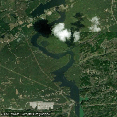
Goat Rock Lake
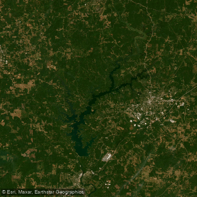
West Point Lake
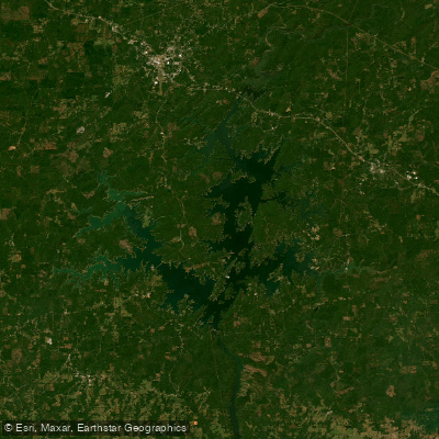
Martin Lake
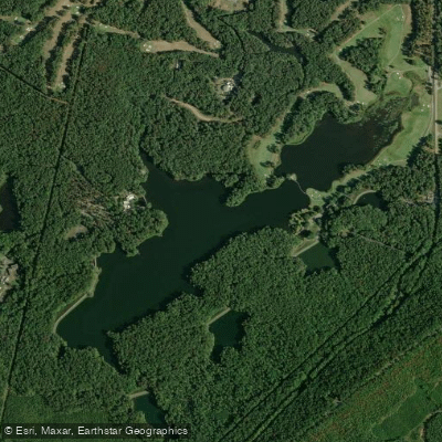
Mountain Creek Lake
Kinchafoonee Creek
Explore Alabama waters
Top paddling waters
Popular Cities
Loading popular cities...
Explore near Lake Oliver
Access points
Nearby waters
More in Alabama

Smarter Paddling Starts in the App.
Paddleways gives you everything you need to plan smarter, paddle better, and own every trip from first launch to takeout.