The Narrows
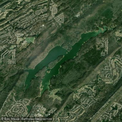
The Narrows
- Boat Ramps
- 0
- Access Points
- 0
- Campsites
- 0
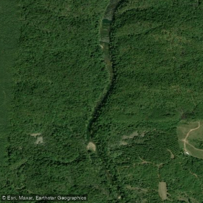
The Narrows is a section of Five Mile Creek in Alabama that offers paddlers a unique and challenging experience. This area is characterized by high walls and a narrow creek channel, created when the waterway was re-routed to accommodate a railroad. Paddlers will encounter seams of coal and various natural rock formations in the cut, with high bluffs and large rocks prevalent both in and around the creek.
Access to the Narrows is part of the Middle Run of Five Mile Creek. Paddlers can put in at the Five Mile Creek Park and take out at the Old 78 Bridge. The route passes several points of interest, including the "Kissing Rock," Cardiff Street Bridge, and the historic mining town of Cardiff.
Safety considerations are significant in the Narrows. Paddlers should be prepared for possible obstacles and portages. The creek bottom changes to solid rock in the last mile, known as Linndale Shoals, creating potential for shallow rapids. Water levels can vary greatly depending on local rainfall, affecting paddling conditions.
Wildlife sightings along Five Mile Creek include wild hogs, beavers, whitetail deer, bobcats, and Great Blue Heron. The area is rich in mining history, with the Jefferson Tunnel at railroad marker #184 marking the site of significant mine strike events in the 1890s.
For a more family-friendly option, paddlers can consider the 2.5-mile stretch from Brookside's Bensko Park to Prudes Creek. This section features fewer obstacles and good fishing pools, with only one challenging rapid near the take-out point.
Paddlers are advised to wear old "creek shoes" in case they need to exit their vessels. It's also recommended to check current water levels before embarking on any Five Mile Creek adventure. The best times for paddling are typically during the winter and early spring rainy periods when water levels are higher.
Water access, boat ramps & amenities
Learn how to get on The Narrows. Uncover great paddling access points, boat ramps, and all the facilities you need for an unforgettable day on the water. Some locations shown may border or include private property. Always check property boundaries and applicable regulations before visiting. PaddleWays's Public & Private Land layer can help you plan your access with confidence.
Paddle smarter with real-time insights
Whether you're en route and conditions shift or you're looking for the best spot based on current flows, we enable you to make informed decisions on the fly.








Find Places to Paddle

Over 400,000 Places to Paddle
Every user gets free access to launch points, boat ramps, and public property parcels.


Water and weather conditions (10 day forecast)
See the best times to paddle The Narrows and check the forecast before you go.
No forecast data available.
Paddling near The Narrows
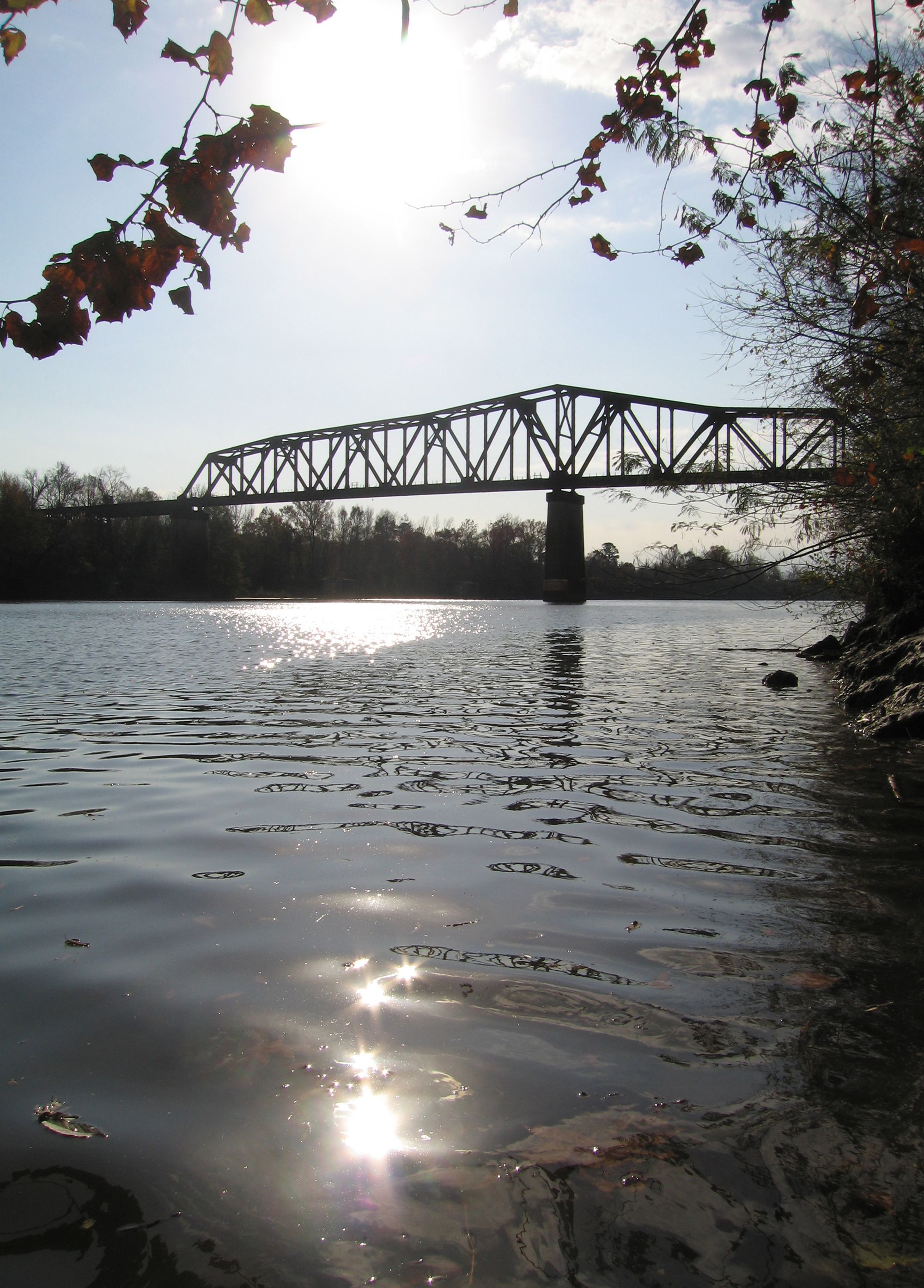
Black Warrior River
Demopolis Lake
Cahaba River
Lay Lake
Coosa River
Oak Mountain Lake
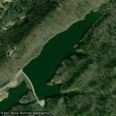
Lunker Lake
Holt Lake
Mulberry Fork
Explore Alabama waters
Top paddling waters
Popular Cities
Loading popular cities...
Explore near The Narrows
Access points
Nearby waters
More in Alabama

Smarter Paddling Starts in the App.
Paddleways gives you everything you need to plan smarter, paddle better, and own every trip from first launch to takeout.