Canyon Creek
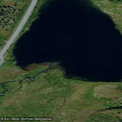
Canyon Creek
- Boat Ramps
- 0
- Access Points
- 0
- Campsites
- 0
Canyon Creek originates in the high country near Lower Summit Lake in the Kenai Mountains and flows westward through a dramatic glacially-carved gorge before joining Sixmile Creek as a tributary, ultimately contributing to the Cook Inlet watershed. This relatively short but intense creek drops approximately 800 feet over its 6.5-mile paddlable section, creating one of the most technically demanding whitewater runs on the Kenai Peninsula.
The primary paddling section extends from the Seward Highway near Mile 49 at the outlet of Lower Summit Lake downstream to the Seward Highway at Hope Junction. This stretch is classified as Class IV whitewater, featuring over a dozen steep boulder garden drops concentrated in a narrow canyon setting. The gradient averages around 120 feet per mile, with several notable rapids including "Saddle Slide" near Wilson Creek—a double-ledge drop that serves as the gateway to the creek's most challenging section. Downstream, paddlers encounter "Boxcar," a steep chute that many choose to portage. A mandatory Class VI portage exists approximately 3.5 miles into the run, marked by an old tan-colored miners cabin. The portage trail ascends steeply on river right near a double drainage before a rock wall/pinnacle, taking roughly 20 minutes to complete. Below the portage, the lower section offers four significant drops with more pool-drop character, though still maintaining Class III-IV+ difficulty.
Optimal paddling occurs when Sixmile Creek gauge reads between 9.5-10.2 feet, as Canyon Creek carries approximately one-third of Sixmile's flow. Below 9 feet, sharp rocks and mining debris create serious boat-damage hazards. Above 10.5 feet, the creek becomes extremely pushy with meaty holes and minimal eddies, suitable only for expert paddlers with solid self-rescue skills.
The creek flows through historic mining territory, with evidence of past operations visible along the banks. Sharp rocks and mining debris represent significant hazards—numerous packrafts have been damaged on this run. The surrounding forest has experienced extensive spruce bark beetle mortality, altering the riparian landscape.
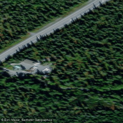
Access requires parking at a gravel pit near Mile 49, with a quarter-mile walk to the put-in. The take-out is located at the large pullout near Hope Junction where Canyon Creek meets Sixmile Creek. The nearest services are in Hope (8 miles) and Cooper Landing (approximately 30 miles).
Fishing regulations restrict the season to July 14-August 31 for salmon species, with specific gear restrictions applying. The creek supports populations of Dolly Varden and salmon during appropriate seasons.
Water access, boat ramps & amenities
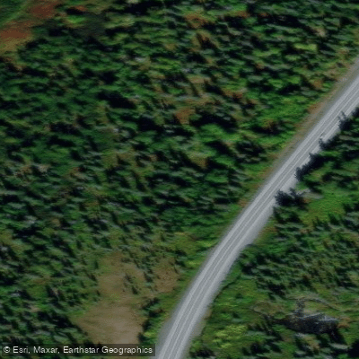
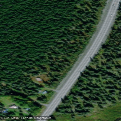
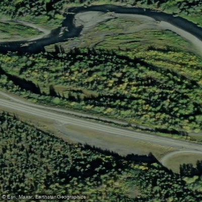
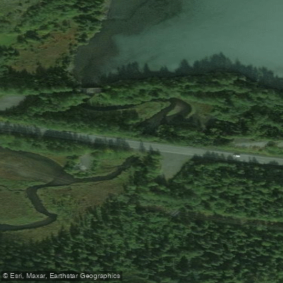
Learn how to get on Canyon Creek. Uncover great paddling access points, boat ramps, and all the facilities you need for an unforgettable day on the water. Some locations shown may border or include private property. Always check property boundaries and applicable regulations before visiting. PaddleWays's Public & Private Land layer can help you plan your access with confidence.
Paddle smarter with real-time insights
Whether you're en route and conditions shift or you're looking for the best spot based on current flows, we enable you to make informed decisions on the fly.








Find Places to Paddle

Over 400,000 Places to Paddle
Every user gets free access to launch points, boat ramps, and public property parcels.


Water and weather conditions (10 day forecast)
See the best times to paddle Canyon Creek and check the forecast before you go.
No forecast data available.
Paddling near Canyon Creek
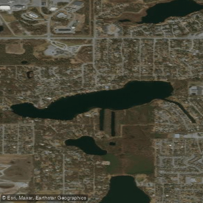
Sand Lake
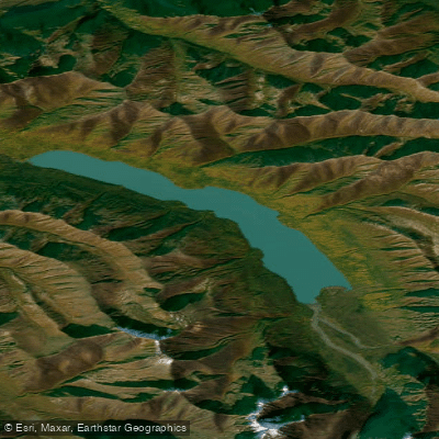
Eklutna Lake
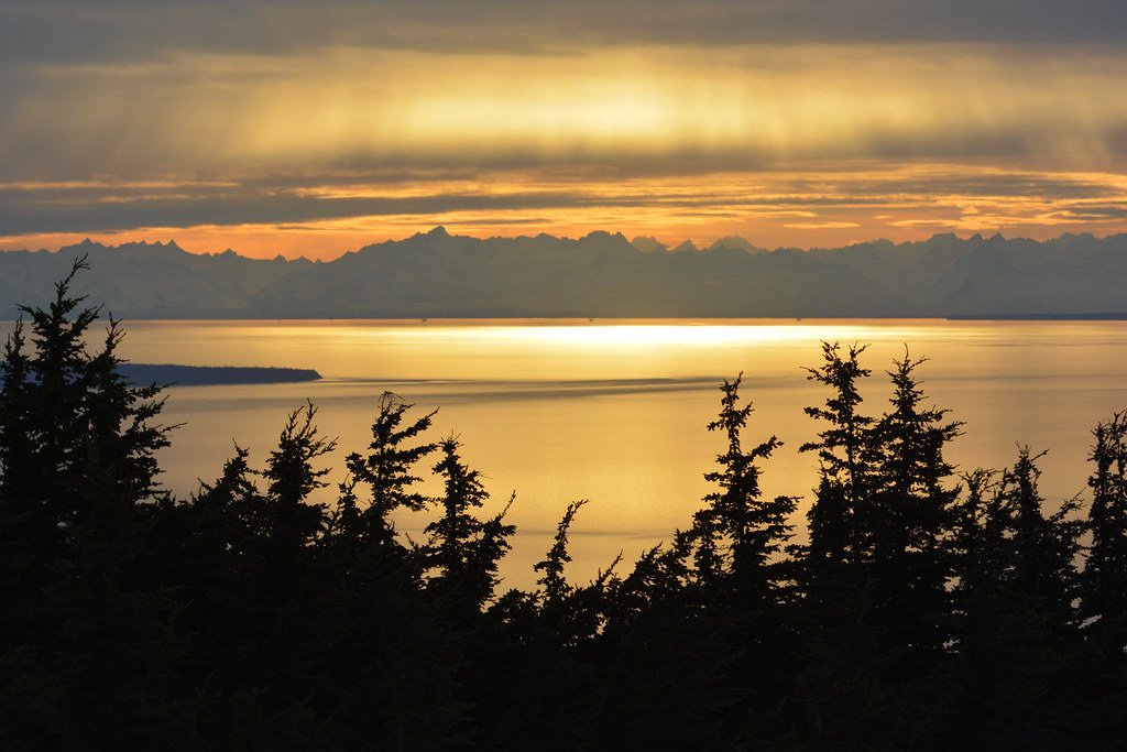
Cook Inlet
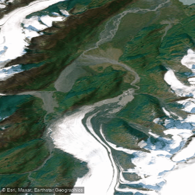
Lake George
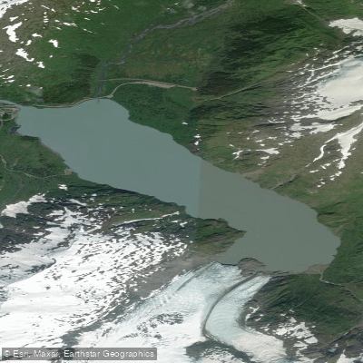
Portage Lake
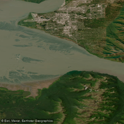
Turnagain Arm
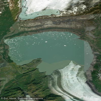
Inner Lake George
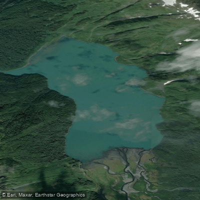
Carmen Lake
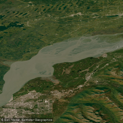
Knik Arm
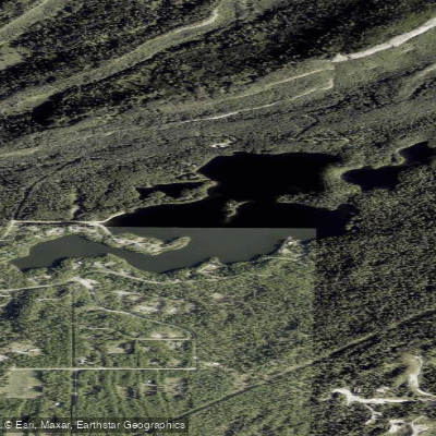
Seventeenmile Lake
Explore Alaska waters
Top paddling waters
Popular Cities
Loading popular cities...
Explore near Canyon Creek
Access points
Nearby waters
More in Alaska

Smarter Paddling Starts in the App.
Paddleways gives you everything you need to plan smarter, paddle better, and own every trip from first launch to takeout.