Chinitna Bay
- Saltwater
- Bay
Chinitna Bay
- Saltwater
- Bay
- Sq. miles
- 27
- Boat Ramps
- 0
- Access Points
- 0
- Campsites
- 0
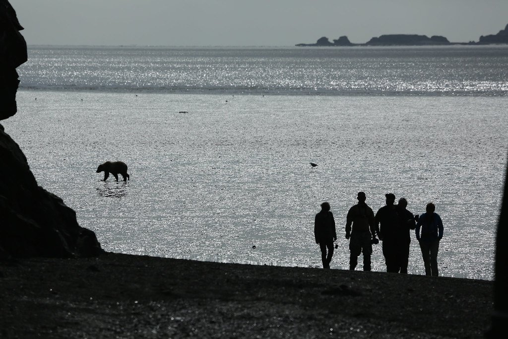
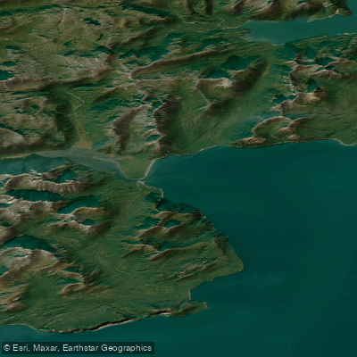
Chinitna Bay is a large coastal bay on the west side of Cook Inlet, within Lake Clark National Park and Preserve in Alaska. This is a remote, saltwater environment accessible only by small aircraft landing on the beach or by private boat. There are no developed launches or take-outs for paddlers; access is solely via beach landings by plane or by navigating from the open inlet. The bay is characterized by extensive salt marshes, sedge meadows, and wide tidal mudflats, with rivers flowing into its head. The tidal range is significant, as bears are noted to dig for clams on the mudflats during low tide, indicating large areas that become exposed. Paddlers must be prepared for strong tidal currents, the exposed conditions of Cook Inlet, and potential surf zones on the beach landing areas. Wind and weather can change rapidly, and flights are frequently grounded by fog and wind, underscoring the area's exposure.
The primary activity in the bay is guided brown bear viewing, with a high concentration of coastal brown bears present from spring through fall. Bears graze on sedge grasses, dig for clams on the tidal flats, and later fish for salmon in the rivers. This creates a critical safety consideration for paddlers, as they would be operating in immediate bear country. The National Park Service notes that travel between viewing sites is typically on foot, and some area lodges use vehicles on the beach. The head of the bay has private property, and trespassing is not allowed. There are no facilities or amenities for independent paddlers. The best season for visitor activity is from late May through mid-September, with bear viewing most reliable from June through early August. The water is cold year-round, typical of the Gulf of Alaska. The aesthetic is one of raw, undeveloped wilderness with mountain vistas, active volcanoes like Iliamna and Redoubt visible in the distance, and a dynamic interface of river, marsh, and sea.
Water access, boat ramps & amenities
Learn how to get on Chinitna Bay. Uncover great paddling access points, boat ramps, and all the facilities you need for an unforgettable day on the water. Some locations shown may border or include private property. Always check property boundaries and applicable regulations before visiting. PaddleWays's Public & Private Land layer can help you plan your access with confidence.
Paddle smarter with real-time insights
Whether you're en route and conditions shift or you're looking for the best spot based on current flows, we enable you to make informed decisions on the fly.








Find Places to Paddle

Over 400,000 Places to Paddle
Every user gets free access to launch points, boat ramps, and public property parcels.


Tides, wind & water conditions (10 day forecast)
On open water, wind and tide matter as much as the weather. See the best times to paddle Chinitna Bay and check the marine forecast before you launch.
Loading tide predictions…
Explore Alaska waters
Top paddling waters
Popular Cities
Loading popular cities...
Explore near Chinitna Bay
More in Alaska

Smarter Paddling Starts in the App.
Paddleways gives you everything you need to plan smarter, paddle better, and own every trip from first launch to takeout.