Iliamna Bay
- Saltwater
- Bay
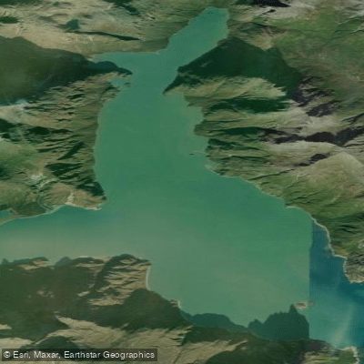
Iliamna Bay
- Saltwater
- Bay
- Sq. miles
- 5.5
- Boat Ramps
- 0
- Access Points
- 0
- Campsites
- 0
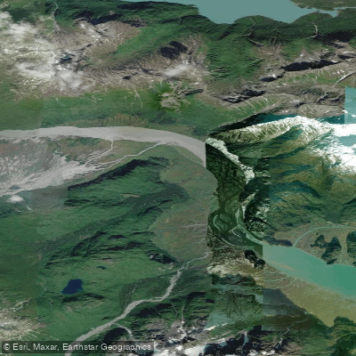
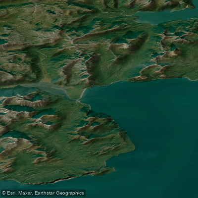
Iliamna Bay is a coastal bay on the western shore of Cook Inlet, Alaska, serving as a critical marine access point for a historic portage route to Iliamna Lake and Bristol Bay. The primary and well-documented launch and take-out point is Williamsport, a landing and boat pull-out facility on the bay. Access to Williamsport is tide-dependent, requiring planning around spring tides for entry and exit. The bay is exposed to the full fetch of Cook Inlet, a body of water known for significant tidal ranges and powerful currents, making conditions highly susceptible to weather and "big swinger" tides. Paddlers must be prepared for strong winds, large tidal exchanges, and potentially rough water, especially during periods of large tidal swings. The area sees concentrated commercial boat traffic in early June each year, as numerous fishing vessels transit through the bay to use the Williamsport Road portage. This seasonal traffic is a notable hazard and planning consideration.
The surrounding landscape is rugged and remote, with rocky shorelines and views of the coastal mountains. The 15-mile Williamsport Road, a well-maintained gravel route, connects the bay to Pile Bay on Iliamna Lake and represents a millennia-old portage trail currently maintained by a local family business. There are no indicated facilities or amenities for recreational paddlers at the launch site beyond the basic landing. The overall character for a paddler is one of a serious, exposed coastal environment suited for experienced sea kayakers with advanced skills in tide navigation, self-rescue, and expedition planning. The best season for a crossing is summer, with July mentioned as a viable time, though conditions remain challenging due to the volatile marine weather of Cook Inlet.
Water access, boat ramps & amenities
Learn how to get on Iliamna Bay. Uncover great paddling access points, boat ramps, and all the facilities you need for an unforgettable day on the water. Some locations shown may border or include private property. Always check property boundaries and applicable regulations before visiting. PaddleWays's Public & Private Land layer can help you plan your access with confidence.
Paddle smarter with real-time insights
Whether you're en route and conditions shift or you're looking for the best spot based on current flows, we enable you to make informed decisions on the fly.








Find Places to Paddle

Over 400,000 Places to Paddle
Every user gets free access to launch points, boat ramps, and public property parcels.


Tides, wind & water conditions (10 day forecast)
On open water, wind and tide matter as much as the weather. See the best times to paddle Iliamna Bay and check the marine forecast before you launch.
Loading tide predictions…
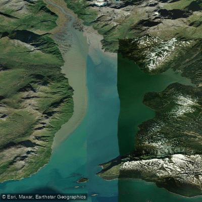
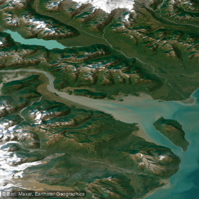
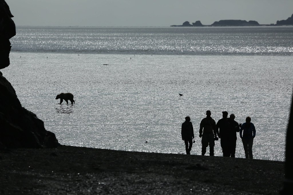
Explore Alaska waters
Top paddling waters
Popular Cities
Loading popular cities...
Explore near Iliamna Bay
More in Alaska

Smarter Paddling Starts in the App.
Paddleways gives you everything you need to plan smarter, paddle better, and own every trip from first launch to takeout.