Tuxedni River
- Saltwater
- Tidal river
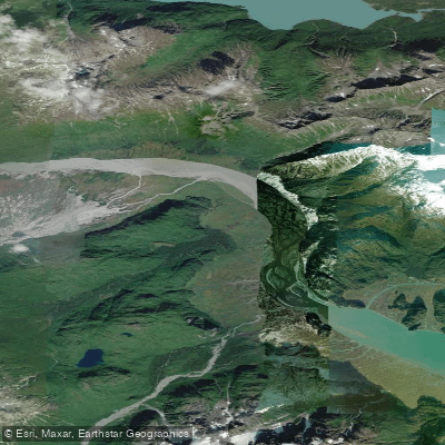
Tuxedni River
- Saltwater
- Tidal river
- Sq. miles
- 3.5
- Boat Ramps
- 0
- Access Points
- 0
- Campsites
- 0
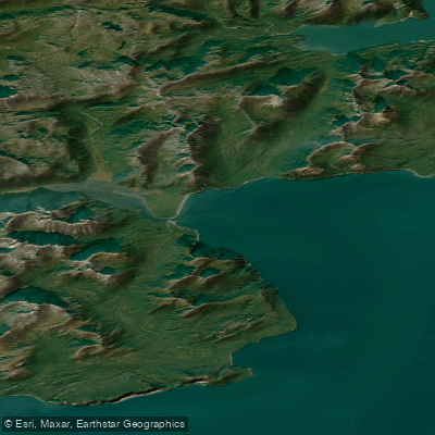
The Tuxedni River is a remote, tidal river located within Lake Clark National Park and Preserve in southern Alaska. Accessing the river typically requires a floatplane charter, with pilots landing on gravel bars or suitable shorelines; there are no established road-accessible launch facilities. The river flows into Tuxedni Bay and Cook Inlet, and its tidal nature is a primary consideration for paddlers. The tides have a significant range, with a 6-meter (approximately 20-foot) difference between high and low water, and they run swiftly. Paddlers must plan trips around these powerful currents, often paddling upstream against a strengthening ebb tide. The water is cold year-round, with a noted temperature of 9 degrees Celsius (48 degrees Fahrenheit) in early autumn.
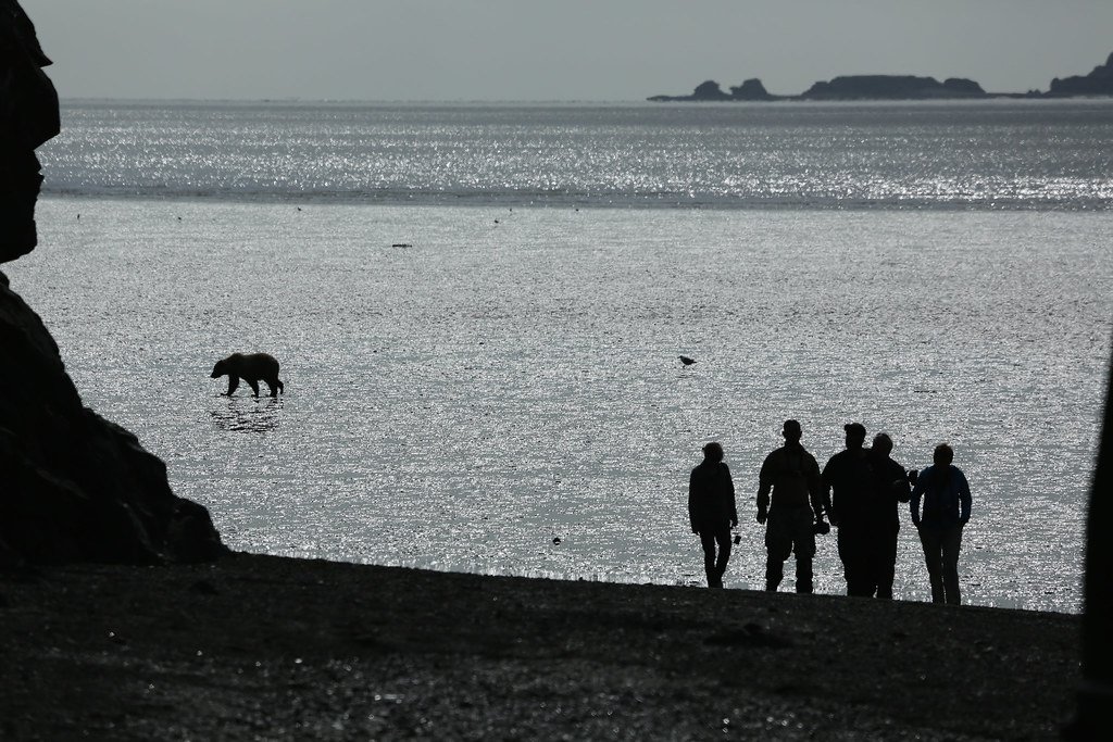
The paddling experience is defined by its extreme remoteness and wilderness character. The river provides views of high mountain peaks and the white mass of the Tuxedni Glacier on the far bank. A notable cultural site along the route is a rock shelter containing ancient paintings, located on low granite cliffs. The area is a significant habitat for wildlife, including belugas and various seabirds, and serves as important winter foraging grounds. Paddlers should be prepared for complete self-sufficiency, as there are no amenities. Hazards include strong tidal currents, cold water immersion risk, and the logistical challenge of arranging and coordinating air transport, which is highly weather-dependent. Decision-making in this remote setting requires a conservative and heightened awareness of surroundings.
Water access, boat ramps & amenities
Learn how to get on Tuxedni River. Uncover great paddling access points, boat ramps, and all the facilities you need for an unforgettable day on the water. Some locations shown may border or include private property. Always check property boundaries and applicable regulations before visiting. PaddleWays's Public & Private Land layer can help you plan your access with confidence.
Paddle smarter with real-time insights
Whether you're en route and conditions shift or you're looking for the best spot based on current flows, we enable you to make informed decisions on the fly.








Find Places to Paddle

Over 400,000 Places to Paddle
Every user gets free access to launch points, boat ramps, and public property parcels.


Tides, wind & water conditions (10 day forecast)
On open water, wind and tide matter as much as the weather. See the best times to paddle Tuxedni River and check the marine forecast before you launch.
Loading tide predictions…
Explore Alaska waters
Top paddling waters
Popular Cities
Loading popular cities...
Explore near Tuxedni River
More in Alaska

Smarter Paddling Starts in the App.
Paddleways gives you everything you need to plan smarter, paddle better, and own every trip from first launch to takeout.