Red Shirt Lake
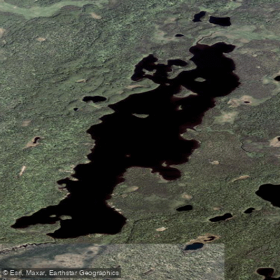
Red Shirt Lake
- Boat Ramps
- 0
- Access Points
- 0
- Campsites
- 0
Red Shirt Lake, located in Nancy Lake State Recreation Area, Alaska, is a 1,186-acre backcountry lake popular for paddling and fishing. Access requires a 3-mile hike on Red Shirt Lake Trail from the trailhead at the end of Nancy Lake Parkway, followed by a paddle across the lake. Canoes can be rented from Tippecanoe Rentals in Willow and are stored at the lakeshore.
The lake features protected coves, islands, and bays, as well as open water with up to a three-mile fetch. This varied topography provides options for paddlers of different skill levels and preferences. Four public use cabins and a remote campground with 10 sites are available around the lake, accessible only by water during summer.
Red Shirt Lake is known for its northern pike fishing, with fish up to 30-34 inches reported. Other wildlife includes swans, loons, Arctic terns, beavers, moose, and black bears. Historically, the lake featured salmon runs and served as a summer home for Dena'ina Native groups.
Paddlers should be aware of potential hazards: - Bugs can be intense on calm summer days - The lake can become windy and choppy, particularly in the main body - During freeze-up and break-up periods, the lake is inaccessible due to thin ice
Winter access is possible via a 7.5 to 8-mile trail using snowmobiles, skis, snowshoes, or dog sleds. Floatplanes can land on the lake year-round when conditions permit.
Amenities are limited. Paddlers must bring all necessary supplies and purify lake water for drinking. There are fire rings and picnic tables at cabin sites. A park pass or $5 parking fee is required.
When planning a trip, check current regulations and reserve cabins or canoes in advance, as this is a popular destination that often sells out.
Water access, boat ramps & amenities
Learn how to get on Red Shirt Lake. Uncover great paddling access points, boat ramps, and all the facilities you need for an unforgettable day on the water. Some locations shown may border or include private property. Always check property boundaries and applicable regulations before visiting. PaddleWays's Public & Private Land layer can help you plan your access with confidence.
Paddle smarter with real-time insights
Whether you're en route and conditions shift or you're looking for the best spot based on current flows, we enable you to make informed decisions on the fly.








Find Places to Paddle

Over 400,000 Places to Paddle
Every user gets free access to launch points, boat ramps, and public property parcels.


Water and weather conditions (10 day forecast)
See the best times to paddle Red Shirt Lake and check the forecast before you go.
No forecast data available.
Paddling near Red Shirt Lake
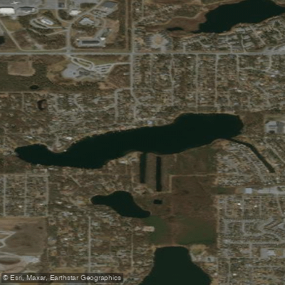
Sand Lake
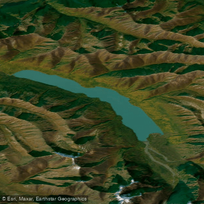
Eklutna Lake
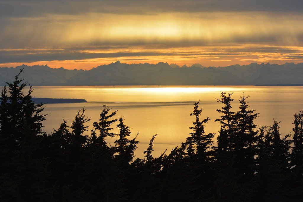
Cook Inlet
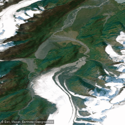
Lake George
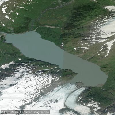
Portage Lake
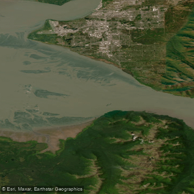
Turnagain Arm
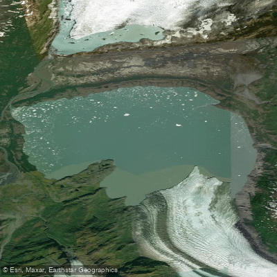
Inner Lake George
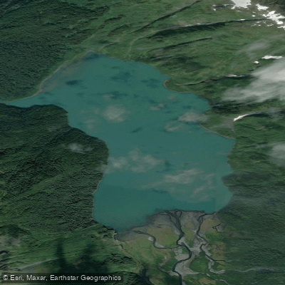
Carmen Lake
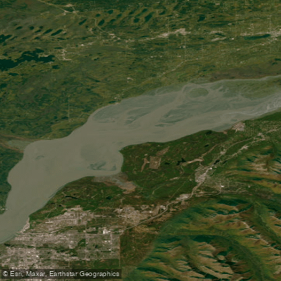
Knik Arm
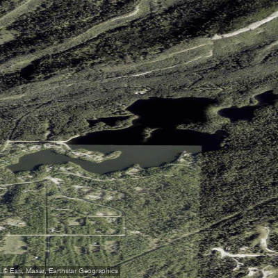
Seventeenmile Lake
Explore Alaska waters
Top paddling waters
Popular Cities
Loading popular cities...
Explore near Red Shirt Lake

Smarter Paddling Starts in the App.
Paddleways gives you everything you need to plan smarter, paddle better, and own every trip from first launch to takeout.