Sea Otter Bay
- Saltwater
- Bay
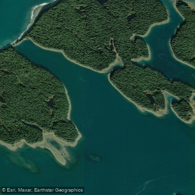
Sea Otter Bay
- Saltwater
- Bay
- Sq. miles
- 0.5
- Boat Ramps
- 0
- Access Points
- 0
- Campsites
- 0
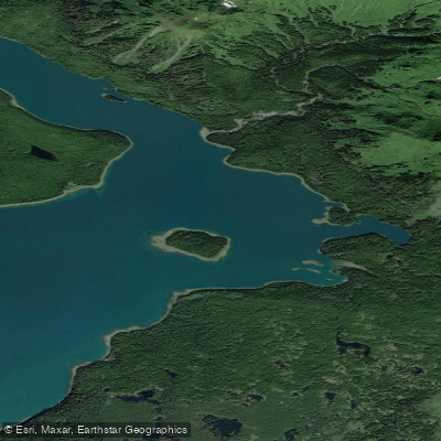
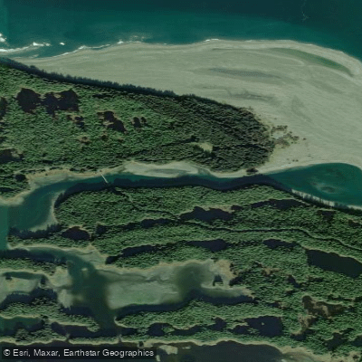
Sea Otter Bay is located within the complex island and channel network at the northeastern end of Yakutat Roads, behind Khantaak Island in the Yakutat area of Alaska. The bay is part of the Johnstone Passage system, which connects several bays and arms. The connecting channels in this area are navigable only for small craft at low water, indicating significant tidal influence and shallow conditions that paddlers must carefully time. Extensive shoaling and rocks exist throughout the area, and local knowledge is advised for navigation. A specific hazard for paddlers approaching from the south is Prince Shoal, which lies between Rurik Harbor and Sea Otter Bay. This shoal extends about 0.5 mile southeast from the Khantaak Island shore, is foul with rocks, and has an extensive area that bares at low water. The bay's name, Yuxtc geyi in Tlingit, originates from its historical use as a shelter for sea otters during storms. The immediate area features a narrow isthmus only 150 yards wide near the bay. The broader Yakutat Bay area is influenced by ice from glaciers at the head of Disenchantment Bay and Russell Fiord, with scattered icebergs possible. Weather patterns are heavily influenced by the adjacent St. Elias Mountain Range and its glaciers, which can generate strong, cold downslope winds under certain pressure conditions, though summer can also bring extended periods of clear weather. The area is remote, with no facilities or formal access points detailed.
Water access, boat ramps & amenities
Learn how to get on Sea Otter Bay. Uncover great paddling access points, boat ramps, and all the facilities you need for an unforgettable day on the water. Some locations shown may border or include private property. Always check property boundaries and applicable regulations before visiting. PaddleWays's Public & Private Land layer can help you plan your access with confidence.
Paddle smarter with real-time insights
Whether you're en route and conditions shift or you're looking for the best spot based on current flows, we enable you to make informed decisions on the fly.








Find Places to Paddle

Over 400,000 Places to Paddle
Every user gets free access to launch points, boat ramps, and public property parcels.


Tides, wind & water conditions (10 day forecast)
On open water, wind and tide matter as much as the weather. See the best times to paddle Sea Otter Bay and check the marine forecast before you launch.
Loading tide predictions…
Paddling near Sea Otter Bay
Explore Alaska waters
Top paddling waters
Popular Cities
Loading popular cities...
Explore near Sea Otter Bay

Smarter Paddling Starts in the App.
Paddleways gives you everything you need to plan smarter, paddle better, and own every trip from first launch to takeout.