Yakutat Roads
- Saltwater
- Sea area
Yakutat Roads
- Saltwater
- Sea area
- Sq. miles
- 0.5
- Boat Ramps
- 0
- Access Points
- 0
- Campsites
- 0
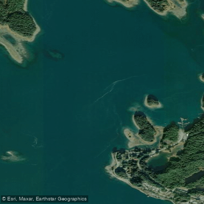
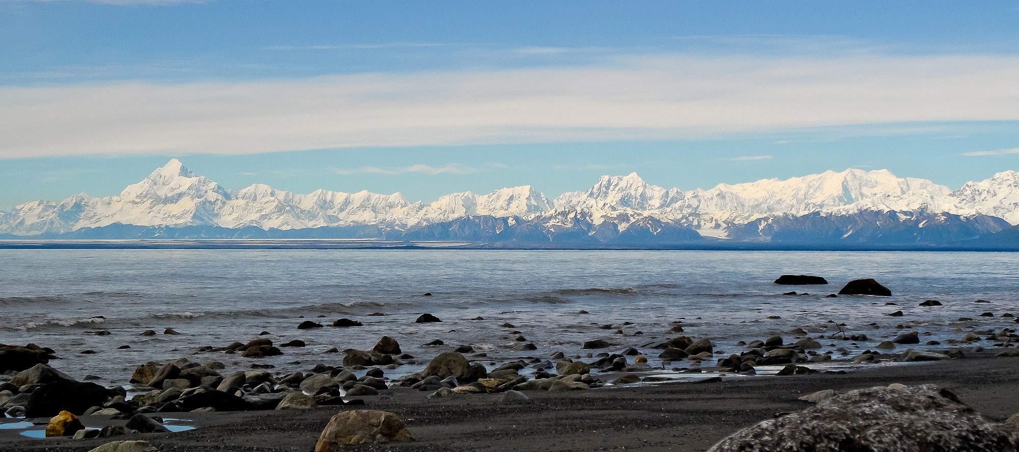
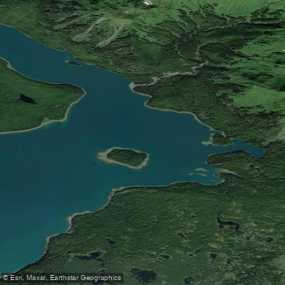
Yakutat Roads is a major coastal anchorage area within Yakutat Bay, Alaska, situated between the mainland and Khantaak Island. It is a saltwater body characterized by significant tidal influence and exposure to Gulf of Alaska weather. The area is one of the best anchorages between Cape Spencer and Prince William Sound, with depths ranging from 15 to 23 fathoms in its central, deeper parts. For paddlers, the primary access points are associated with the community of Yakutat, located at the southeastern head of Monti Bay, which connects to Yakutat Roads. The Yakutat boat harbor at Shipyard Cove, on the eastern shore of Yakutat Roads, is a key facility offering boat launch access and is easily accessible from town. The waters of Yakutat Roads and Monti Bay experience strong tidal flushes, indicating powerful currents that paddlers must plan around, particularly when transiting the constricted passages around the network of islands north of Monti Bay, such as Canoe Island. The area is generally well-protected from direct ocean wave action by the Ocean Cape headland and islands, but it remains exposed to wind across its broader stretches. The aesthetic is dominated by dramatic views of the Saint Elias Mountain Range, including Mount Saint Elias, with glaciers visible in the distance. Wildlife sightings may include sea otters, harbor seals, sea lions, and a variety of seabirds and waterfowl. The shoreline features forested bays and gravel beaches. The presence of a designated boat harbor and the description of the area as a major anchorage for large vessels implies significant boat traffic that paddlers must navigate cautiously. The climate is frequently cloudy with high precipitation, and summers can offer periods of clear, calm weather suitable for paddling, though conditions can change rapidly with storms and high winds, especially outside of summer.
Water access, boat ramps & amenities
Learn how to get on Yakutat Roads. Uncover great paddling access points, boat ramps, and all the facilities you need for an unforgettable day on the water. Some locations shown may border or include private property. Always check property boundaries and applicable regulations before visiting. PaddleWays's Public & Private Land layer can help you plan your access with confidence.
Paddle smarter with real-time insights
Whether you're en route and conditions shift or you're looking for the best spot based on current flows, we enable you to make informed decisions on the fly.








Find Places to Paddle

Over 400,000 Places to Paddle
Every user gets free access to launch points, boat ramps, and public property parcels.


Tides, wind & water conditions (10 day forecast)
On open water, wind and tide matter as much as the weather. See the best times to paddle Yakutat Roads and check the marine forecast before you launch.
Loading tide predictions…
Paddling near Yakutat Roads
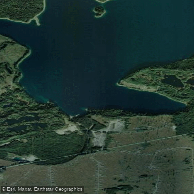
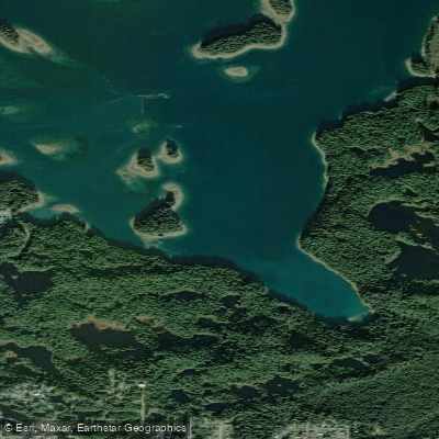
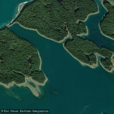
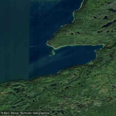
Explore Alaska waters
Top paddling waters
Popular Cities
Loading popular cities...
Explore near Yakutat Roads

Smarter Paddling Starts in the App.
Paddleways gives you everything you need to plan smarter, paddle better, and own every trip from first launch to takeout.