Yakutat Bay
- Saltwater
- Bay
Yakutat Bay
- Saltwater
- Bay
- Sq. miles
- 358
- Boat Ramps
- 0
- Access Points
- 0
- Campsites
- 0
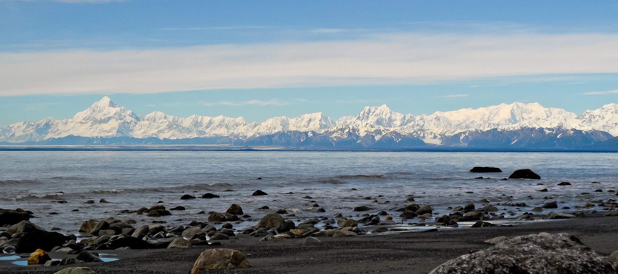
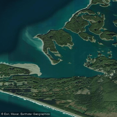
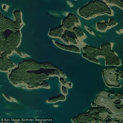
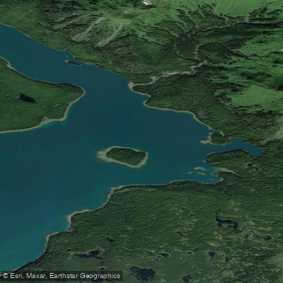
Yakutat Bay is a large, open coastal bay on the Gulf of Alaska, protected from the full force of the Pacific by an 18-mile-wide reef. The southern side of the bay features a system of forested islands and sheltered harbors, creating a protected area suitable for sea kayaking and stand-up paddleboarding. The main body of the bay is exposed to the open ocean and can be subject to waves and storms. The primary public launch point for paddlers is the city-maintained boat harbor in Yakutat, which offers a boat ramp, dock, parking, and restrooms. A specific launch noted for beginners is the Monti Bay boat ramp, a sheltered ocean area with tidal influence where timing a paddle around slack tide is advised for the easiest conditions. For multi-day trips, paddlers often use air taxis or charter boats to access more remote areas, as transporting sea kayaks overland can be difficult.
Tidal currents are a significant factor, with paddlers reporting the need to plan around flood and ebb cycles, especially when approaching features like Hubbard Glacier at the bay's head. One account describes a challenging return trip pushing against flooding currents. The bay is characterized by cold, milky-green water colored by glacial silt, and it is frequently logged with icebergs, particularly near the glaciers, which can severely slow progress and create hazards. The scenery is dominated by views of the Saint Elias Mountains and glaciers, including the massive Hubbard Glacier, the largest tidewater glacier in North America. Wildlife sightings can include whales, porpoises, sea otters, seals, sea lions, and coastal bears.
Paddlers can camp on National Forest and National Park Service lands, and several U.S. Forest Service cabins are available for rent. The best time for paddling is during the summer months, from June through August. Hazards include open ocean conditions, strong tidal currents, dense ice fields near glaciers, and the potential for rapidly changing weather. The area is remote, with Yakutat being the only town for over 100 miles along the coast, so self-sufficiency and proper safety gear, including a marine VHF radio, are essential.
Water access, boat ramps & amenities
Learn how to get on Yakutat Bay. Uncover great paddling access points, boat ramps, and all the facilities you need for an unforgettable day on the water. Some locations shown may border or include private property. Always check property boundaries and applicable regulations before visiting. PaddleWays's Public & Private Land layer can help you plan your access with confidence.
Paddle smarter with real-time insights
Whether you're en route and conditions shift or you're looking for the best spot based on current flows, we enable you to make informed decisions on the fly.








Find Places to Paddle

Over 400,000 Places to Paddle
Every user gets free access to launch points, boat ramps, and public property parcels.


Tides, wind & water conditions (10 day forecast)
On open water, wind and tide matter as much as the weather. See the best times to paddle Yakutat Bay and check the marine forecast before you launch.
Loading tide predictions…
Paddling near Yakutat Bay
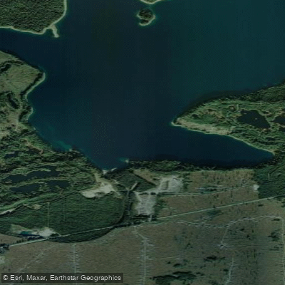
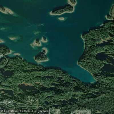
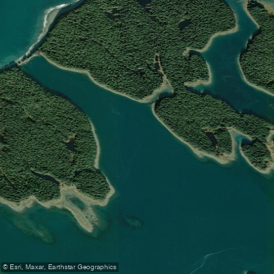
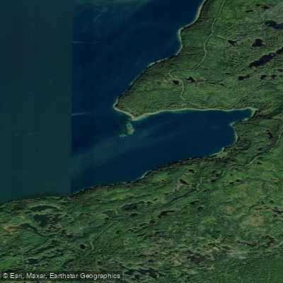
Explore Alaska waters
Top paddling waters
Popular Cities
Loading popular cities...
Explore near Yakutat Bay

Smarter Paddling Starts in the App.
Paddleways gives you everything you need to plan smarter, paddle better, and own every trip from first launch to takeout.