The Ankau
- Saltwater
- Sea area
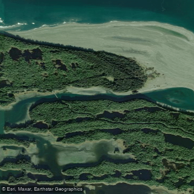
The Ankau
- Saltwater
- Sea area
- Sq. miles
- 0.1
- Boat Ramps
- 0
- Access Points
- 0
- Campsites
- 0
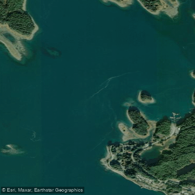
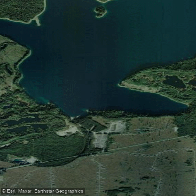
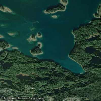
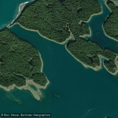
The Ankau is a coastal lagoon and estuary system located near Yakutat, Alaska, characterized by a maze-like network of waterways where saltwater from Yakutat Bay meets freshwater from Summit Lake, an area locally known as the Ankau Saltchucks. The primary and clearly defined access point for paddlers is at the Ankau Bridge, located four miles from town on Ocean Cape Road, where a spacious parking area on the south side of the bridge allows for a short carry to launch below the bridge. This estuary system offers several route options; paddlers can travel east into Monti Bay, west into the tidal Saltchucks, or south toward Kardy Lake. Navigating this area requires significant caution as it is easy to become disoriented in the complex channels. Paddlers must pay extremely close attention to the tides, as the area features reversing tidal rapids, and using a map or GPS is essential. The land beyond the Ankau Bridge is privately owned, and paddlers should be respectful of private property and the nearby community cemetery, considering areas beyond the bridge off-limits to vehicle traffic. The overall paddling experience is one of exploration through a productive tidal wetland, but it demands careful planning. Consulting the U.S. Forest Service Yakutat Ranger District office for pre-trip information is strongly advised. Wildlife is abundant, with the area being a critical habitat for many bird species and marine life. The water body is directly connected to the historic Yakutat to Dry Bay Ancestral Lingit Canoe Route, though changes in topography mean the full historic route is not currently recommended for through travel.
Water access, boat ramps & amenities
Learn how to get on The Ankau. Uncover great paddling access points, boat ramps, and all the facilities you need for an unforgettable day on the water. Some locations shown may border or include private property. Always check property boundaries and applicable regulations before visiting. PaddleWays's Public & Private Land layer can help you plan your access with confidence.
Paddle smarter with real-time insights
Whether you're en route and conditions shift or you're looking for the best spot based on current flows, we enable you to make informed decisions on the fly.








Find Places to Paddle

Over 400,000 Places to Paddle
Every user gets free access to launch points, boat ramps, and public property parcels.


Tides, wind & water conditions (10 day forecast)
On open water, wind and tide matter as much as the weather. See the best times to paddle The Ankau and check the marine forecast before you launch.
Loading tide predictions…
Paddling near The Ankau
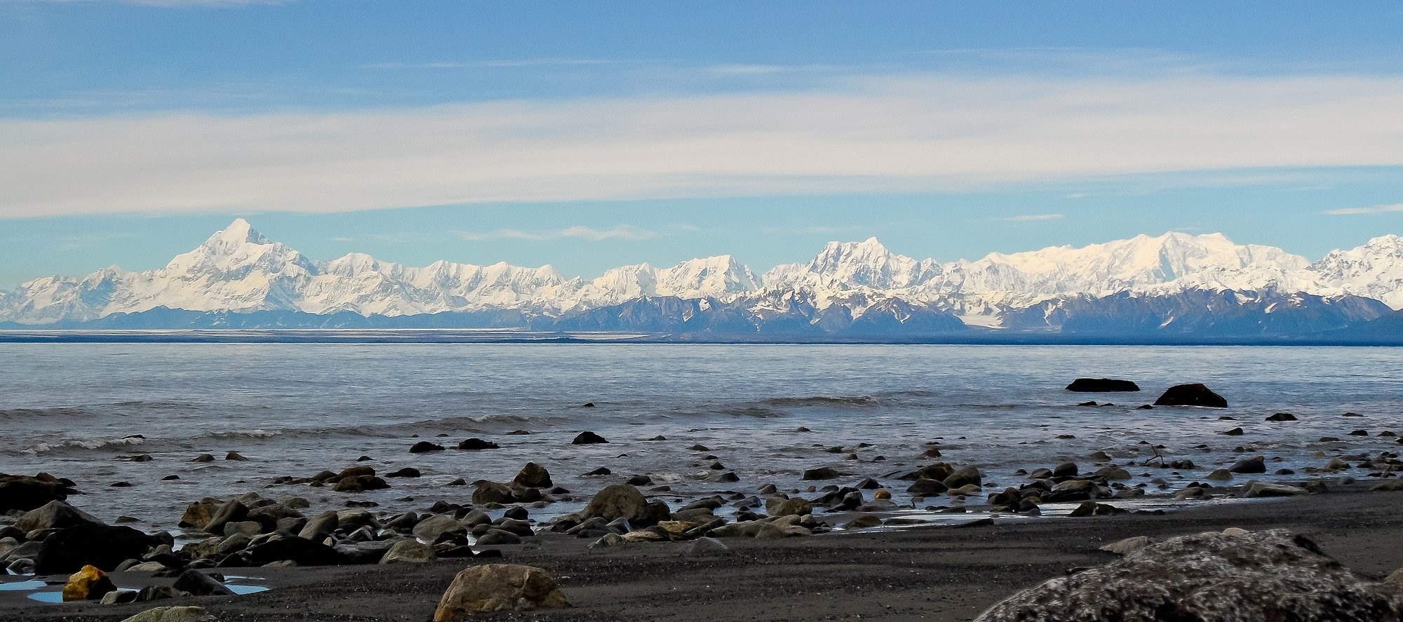
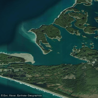
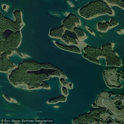
Explore Alaska waters
Top paddling waters
Popular Cities
Loading popular cities...
Explore near The Ankau

Smarter Paddling Starts in the App.
Paddleways gives you everything you need to plan smarter, paddle better, and own every trip from first launch to takeout.