Antelope Creek
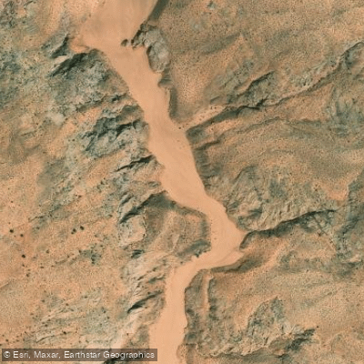
Antelope Creek
- Boat Ramps
- 0
- Access Points
- 0
- Campsites
- 7
Antelope Creek flows through the dramatic landscape near Page in Coconino County, Arizona, ultimately joining the Colorado River in the Lake Powell region. This waterway is intrinsically connected to the famous Antelope Canyon system, carving through the distinctive Navajo sandstone that characterizes this portion of northern Arizona. The creek serves as a popular paddling destination, offering an 11.6-mile route that begins from the Colorado River and leads upstream into Antelope Creek itself. This paddle route provides kayakers and canoeists access to one of the region's most photographed geological formations from a unique water-level perspective. The experience differs markedly from the typical slot canyon tours, as paddlers navigate the lower reaches where the canyon opens to accommodate the waterway.
Water conditions on Antelope Creek are notably influenced by boat traffic regulations. Once paddlers reach the creek proper from the Colorado River, the water calms considerably as speed restrictions limit motorized vessels to 5 mph in this area. This creates a more peaceful paddling environment compared to the main channel of the Colorado River and Lake Powell.
Access to Antelope Creek is primarily through Page, Arizona, which serves as the gateway community for this waterway. The town provides all necessary services, equipment rentals, and guided tour options for those wishing to explore the creek by kayak. Several outfitters offer guided kayaking and hiking combination tours that showcase both the water route and the surrounding canyon landscape.
The creek flows through classic Colorado Plateau terrain, with towering sandstone walls that display the characteristic red and orange hues of the region. The narrow passages and sculpted rock formations that make Antelope Canyon world-famous extend to the creek itself, though the lower sections accessible by paddle craft are wider and less confined than the famous slot canyon sections upstream.
Paddlers should be prepared for desert conditions, including intense sun exposure, limited shade, and the potential for flash flooding during monsoon season. The area falls under the jurisdiction of the Glen Canyon National Recreation Area, and appropriate permits and regulations apply to all water-based activities. The proximity to Lake Powell means water levels can fluctuate based on reservoir management, affecting access and conditions throughout the paddling season.
This waterway represents a distinctive paddling opportunity in Coconino County, combining technical slot canyon geology with accessible flatwater paddling in one of Arizona's most iconic landscapes.
Water access, boat ramps & amenities
Learn how to get on Antelope Creek. Uncover great paddling access points, boat ramps, and all the facilities you need for an unforgettable day on the water. Some locations shown may border or include private property. Always check property boundaries and applicable regulations before visiting. PaddleWays's Public & Private Land layer can help you plan your access with confidence.
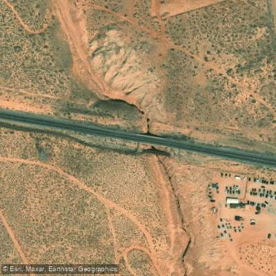
Paddle smarter with real-time insights
Whether you're en route and conditions shift or you're looking for the best spot based on current flows, we enable you to make informed decisions on the fly.








Find Places to Paddle

Over 400,000 Places to Paddle
Every user gets free access to launch points, boat ramps, and public property parcels.


Water and weather conditions (10 day forecast)
See the best times to paddle Antelope Creek and check the forecast before you go.
No forecast data available.
Paddling near Antelope Creek

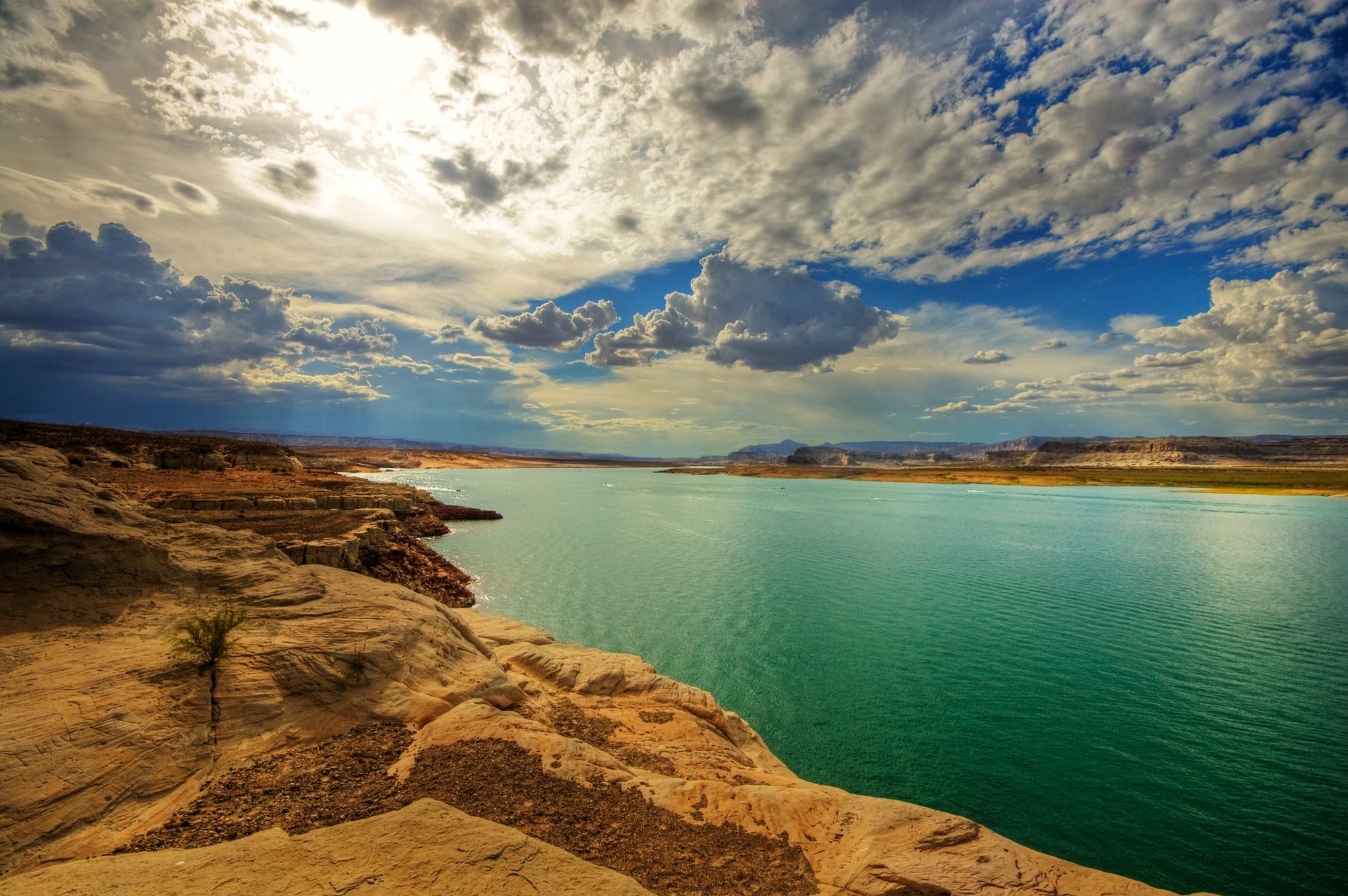
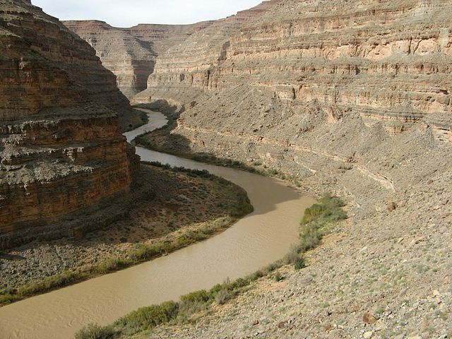
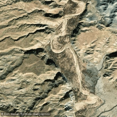

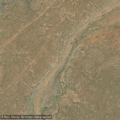
Explore Arizona waters
Top paddling waters
Popular Cities
Loading popular cities...
Explore near Antelope Creek
Access points
- Antelope Wash Bridge
- Mystical Antelope Canyon Tours & Arrowhead Campground
- Glen Canyon National Recreation Area Campground
- Glen Canyon National Recreation Area Campground
- Glen Canyon National Recreation Area Campground
- Glen Canyon National Recreation Area Campground
- Ropes Trail Campground
- Wahweap Campground
More in Arizona

Smarter Paddling Starts in the App.
Paddleways gives you everything you need to plan smarter, paddle better, and own every trip from first launch to takeout.