Rush Creek Access
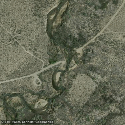
Rush Creek Access
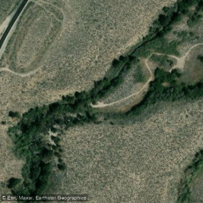
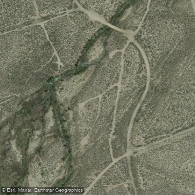
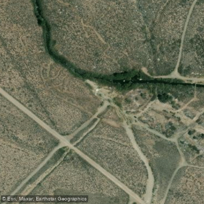
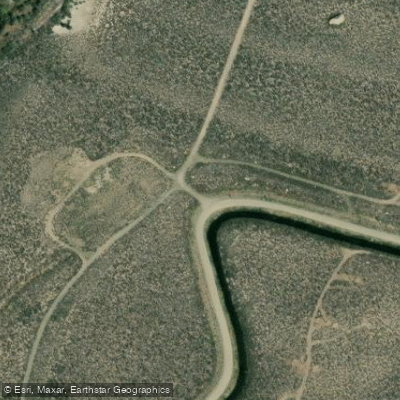
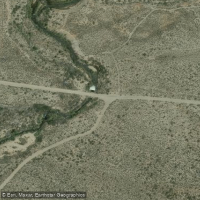
Rush Creek Rd Access provides vehicle access to Rush Creek via a 2. 5-mile scenic route accessible from Test Station Road (east) or Oil Plant Road (west), suitable for high-clearance 4x4 vehicles, SUVs, and ATVs.
The route features a notable water crossing at 1. 8 miles where daily water level fluctuations can impact difficulty, and descends into a canyon with views of Mono Lake and the Eastern Sierras. Best visited in summer and fall months.
Nearby points of interest
Find excellent paddling spots, easy access to boat ramps, and all the amenities you need for a memorable day. Your adventure starts here.
Water and weather conditions (10 day forecast)
Check the forecast at Rush Creek Access before you go paddling.
No forecast data available.
Paddling near Rush Creek Access

Tuolumne River

Merced River
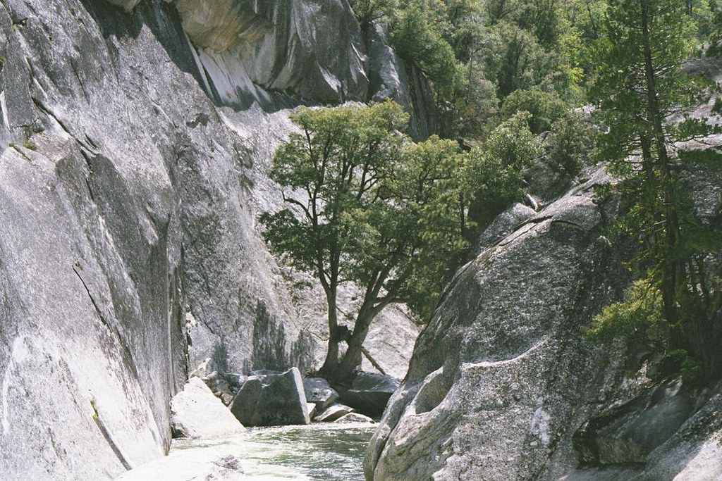
Middle Fork San Joaquin River

San Joaquin River
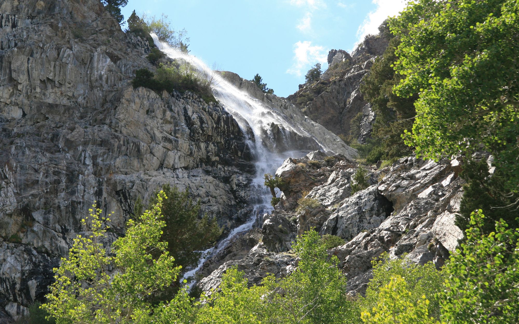
Rush Creek
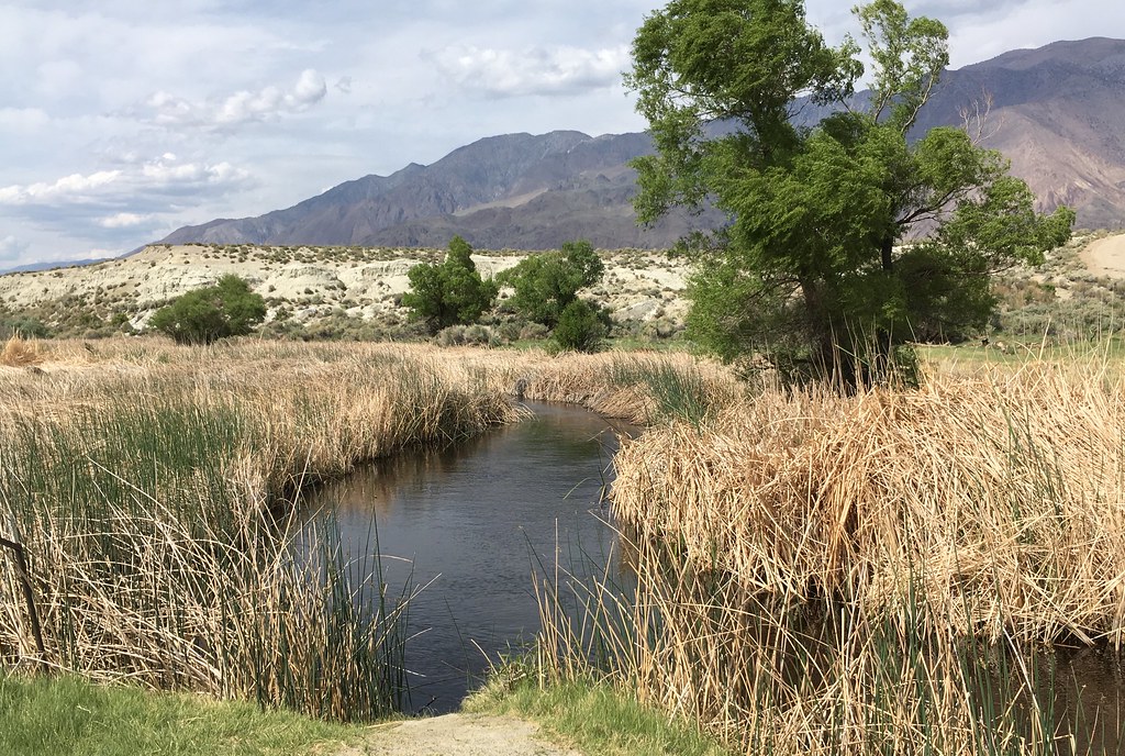
Owens River
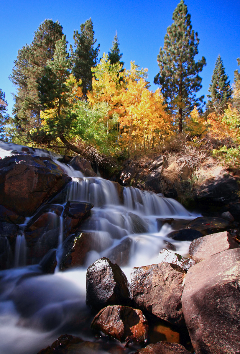
Lee Vining Creek
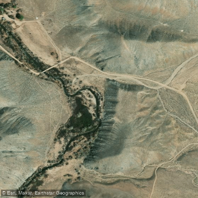
East Walker River
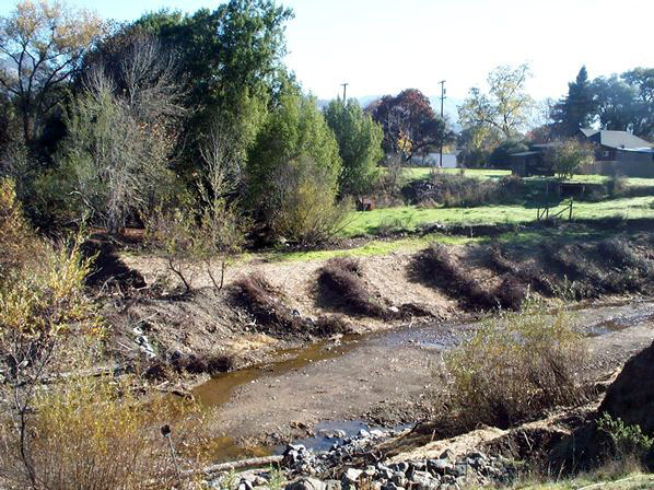
Robinson Creek
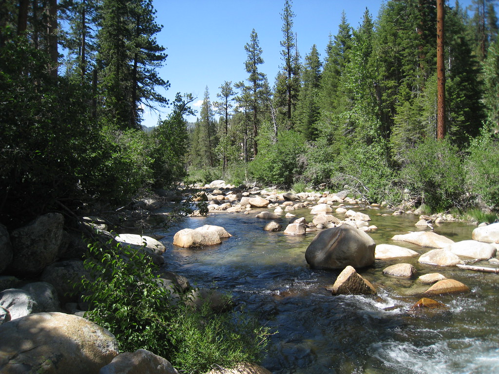
South Fork San Joaquin River
California licenses and regulations
Explore California waters
Top paddling waters
No waters available right now.
Popular Cities
Loading popular cities...
Explore near Rush Creek Access
Nearby spots
Nearby waters
More in California

Smarter Paddling Starts in the App.
Paddleways gives you everything you need to plan smarter, paddle better, and own every trip from first launch to takeout.