San Joaquin River

San Joaquin River
- Boat Ramps
- 9
- Access Points
- 15
- Campsites
- 43
The San Joaquin River, California's second-longest river, flows for over 360 miles from its headwaters in the Sierra Nevada to its confluence with the Sacramento River in the Sacramento-San Joaquin Delta. This diverse waterway offers a wide range of paddling experiences, from challenging whitewater in its upper reaches to serene flatwater sections as it meanders through the Central Valley.
In the high country, the river's three main forks - North, Middle, and South - provide some of California's most exhilarating whitewater runs. The South Fork, in particular, is renowned for its Class IV-V rapids, with popular sections like the 14-mile stretch from Bridge over Piute Creek to Florence Lake challenging even expert paddlers.
The Middle Fork, originating from Thousand Island Lake, offers a more moderate Class III-IV experience as it flows through the stunning scenery of Devils Postpile National Monument. As the river descends from the mountains, it enters a series of reservoirs and dams that are part of the Big Creek Hydroelectric Project. This section, including Mammoth Pool and Redinger Lake, provides opportunities for flatwater paddling and fishing.
Below these reservoirs, the river enters the San Joaquin River Gorge, where the Chawanakee Gorge and Horseshoe Bend sections offer Class IV-V whitewater for experienced paddlers. Further downstream, the river mellows considerably as it enters the San Joaquin Valley. Here, sections like the stretch from Friant Dam to Highway 99 offer easy flatwater paddling suitable for beginners and families.
The San Joaquin River Parkway, a 22-mile greenway extending from Friant Dam to Highway 99, provides multiple access points and recreational opportunities for paddlers, including guided canoe tours from May to October.
The best time to paddle the San Joaquin varies depending on the section. High country runs are typically accessible from late spring to early fall, while valley sections can be paddled year-round. However, water levels can fluctuate significantly due to snowmelt, dam releases, and irrigation demands, so it's crucial to check current conditions before any trip.
Wildlife along the river is diverse, with opportunities to spot bald eagles, river otters, and a variety of fish species including rainbow trout and bass. The river's ecosystem supports riparian forests, wetlands, and grasslands, each hosting its unique flora and fauna.
Historically, the San Joaquin River played a crucial role in California's development, supporting Native American communities for thousands of years before becoming a major transportation route during the Gold Rush. Today, while much of the river has been altered by dams and diversions, efforts are underway to restore salmon runs and improve water quality through the San Joaquin River Restoration Program.
For those seeking multi-day adventures, the upper reaches of the South and Middle Forks offer opportunities for wilderness trips combining paddling and hiking. In the valley, multi-day float trips can be arranged between various access points along the San Joaquin River Parkway.
Safety considerations include checking water levels and flow rates, being aware of strainers and other river hazards, and respecting private property along the riverbanks. Paddlers should also be mindful of the hot summer temperatures in the valley sections and plan accordingly.
From its challenging alpine headwaters to its meandering lowland stretches, the San Joaquin River offers a paddling experience for every skill level, set against the backdrop of California's diverse landscapes and rich history.
Water access, boat ramps & amenities
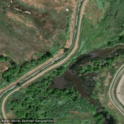
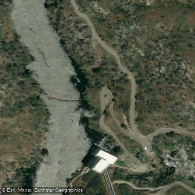
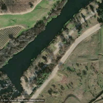
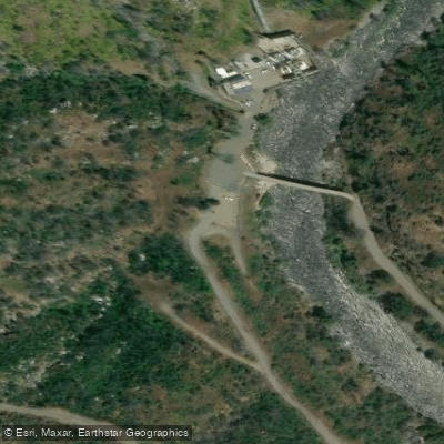
Learn how to get on San Joaquin River. Uncover great paddling access points, boat ramps, and all the facilities you need for an unforgettable day on the water. Some locations shown may border or include private property. Always check property boundaries and applicable regulations before visiting. PaddleWays's Public & Private Land layer can help you plan your access with confidence.
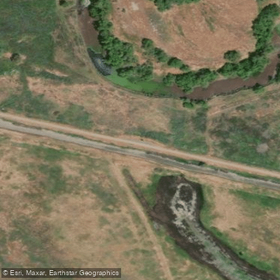
Paddle smarter with real-time insights
Whether you're en route and conditions shift or you're looking for the best spot based on current flows, we enable you to make informed decisions on the fly.








Find Places to Paddle

Over 400,000 Places to Paddle
Every user gets free access to launch points, boat ramps, and public property parcels.


Water and weather conditions (10 day forecast)
See the best times to paddle San Joaquin River and check the forecast before you go.
SAN JOAQUIN RIVER NEAR AUBERRY
All Flow Stations
Paddling near San Joaquin River

Merced River

Tuolumne River

Stanislaus River
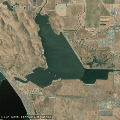
O'Neill Forebay
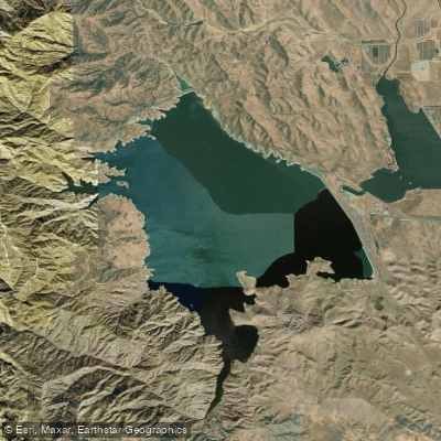
San Luis Reservoir
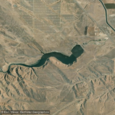
Los Banos Reservoir
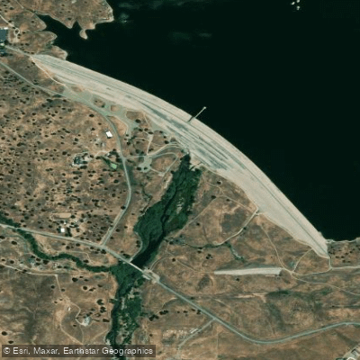
Fresno River
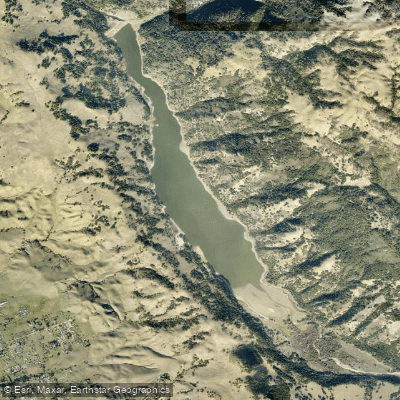
Coyote Lake
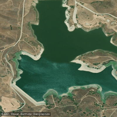
San Justo Reservoir
Explore California waters
Top paddling waters
Popular Cities
Loading popular cities...
Explore near San Joaquin River
Access points
- Wildwood Boat Ramp
- Dos Reis County Park Boat Ramp
- Great Valley Grasslands State Park Ramp
- Haven Acres Resort Boat Ramp
- Boat Ramp
- Las Palmas San Joaquin River Boat Ramp
- Mossdale Crossing Regional Park Boat Ramp
- Redinger Lake Boat Ramp
- Louis Park Boat Ramp
- Access
- Dam 6 Access
- San Joaquin River Access
- All 206 spots
Nearby waters
More in California

Smarter Paddling Starts in the App.
Paddleways gives you everything you need to plan smarter, paddle better, and own every trip from first launch to takeout.