Rush Creek
Rush Creek
- Boat Ramps
- 0
- Access Points
- 17
- Campsites
- 13
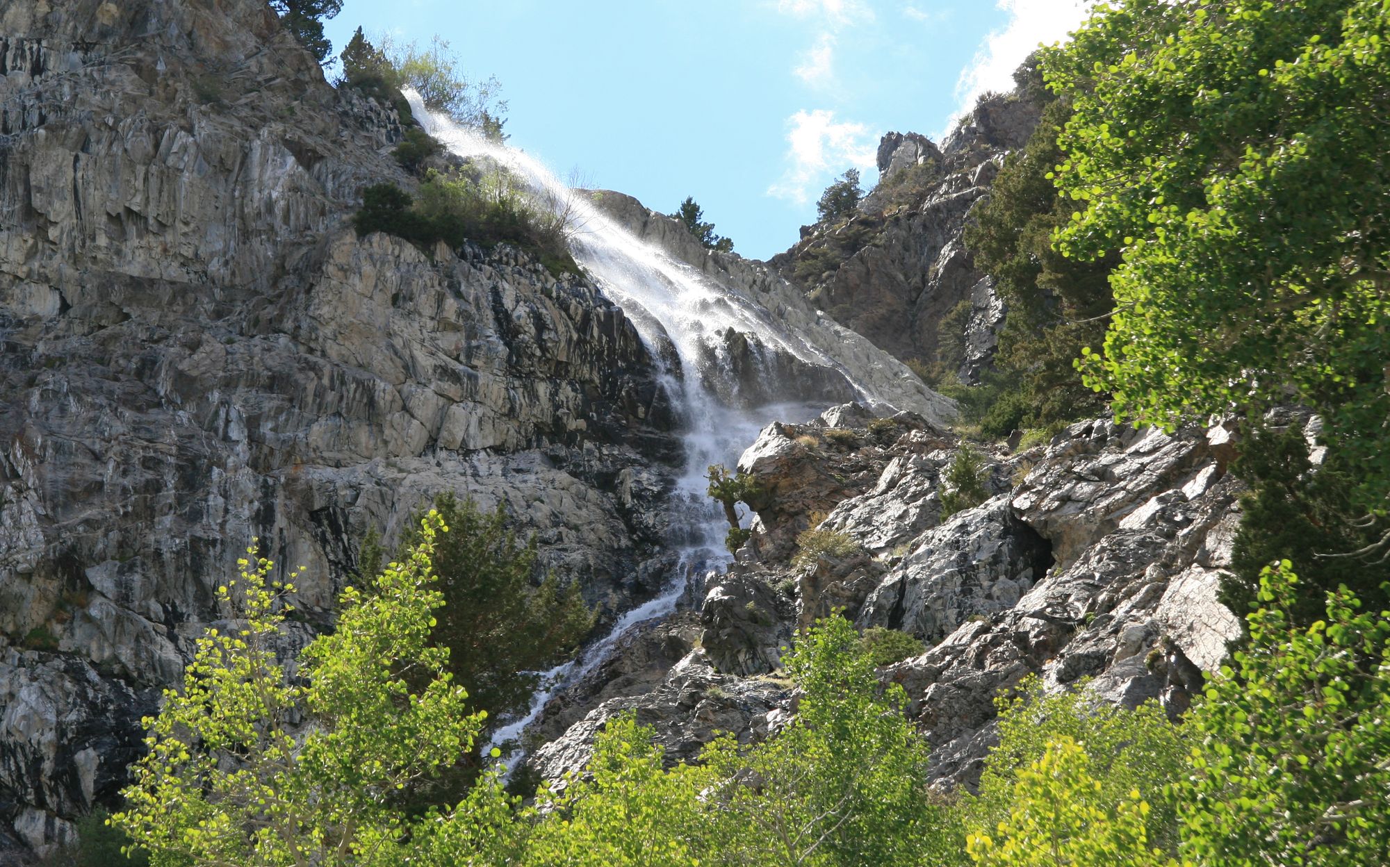
Rush Creek originates in the high Sierra Nevada near Mount Lyell at elevations exceeding 13,000 feet, flowing eastward through Mono County, California before emptying into Mono Lake. This nearly 30-mile waterway descends dramatically through glacially-carved terrain, passing through several natural and reservoir lakes including Waugh Lake, Gem Lake, Agnew Lake, Silver Lake, and Grant Lake before reaching its terminus.
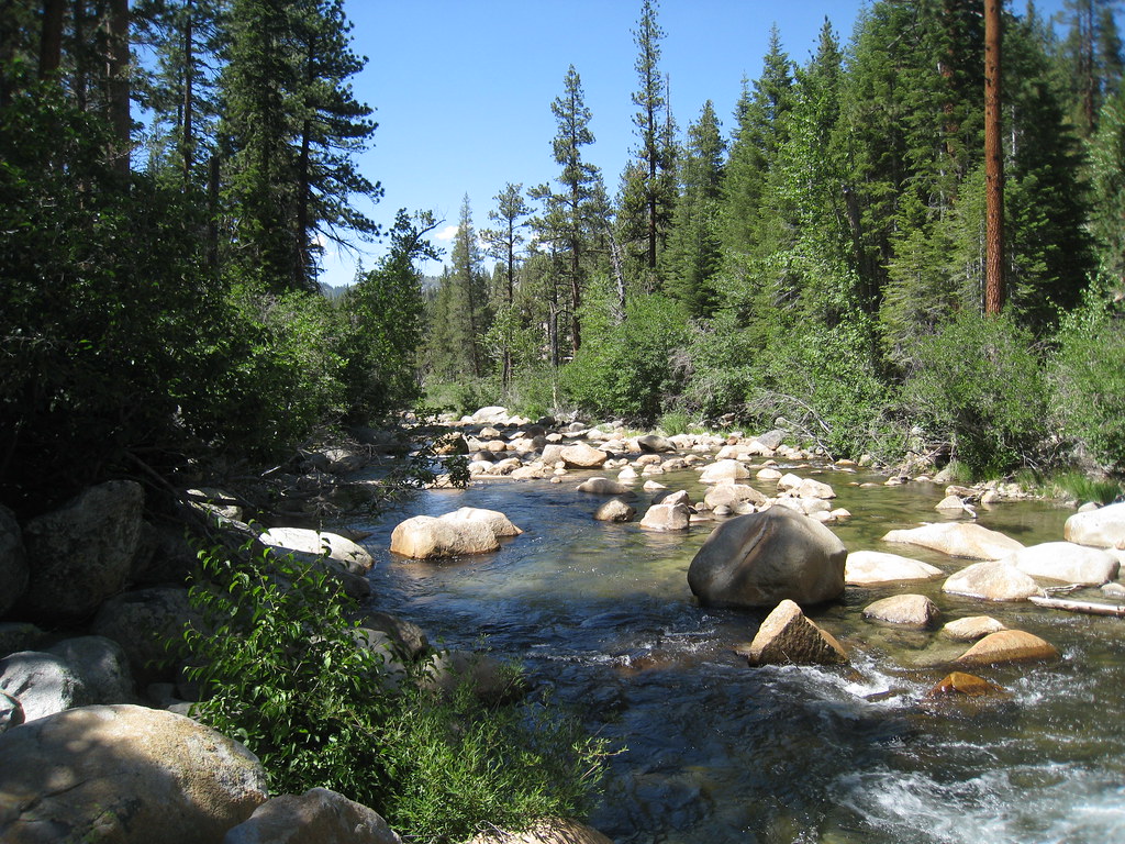
The creek's character varies dramatically along its course. The upper sections above Waugh Lake flow through pristine alpine wilderness accessible only by trail, featuring classic high-country pocket water and cascading runs. Below the series of hydroelectric reservoirs operated by Southern California Edison, Rush Creek transforms into more accessible waters. The section between Silver Lake and Grant Lake offers approximately 2.5 miles of fishable stream with pocket water, runs, and pools, heavily stocked with rainbow trout and receiving 20,000 annual plants from the California Department of Fish and Wildlife.
Below Grant Lake, Rush Creek enters a historically significant reach. After 1941, when Los Angeles Department of Water and Power began diverting water through the Mono Tunnel, this section ran dry for decades. Following the landmark State Water Board Decision 1631 in 1994, flows were restored to protect Mono Lake. This lower section now features a man-made canal transitioning to a freestone stream, designated as wild trout water with catch-and-release regulations. Large brown trout inhabit these waters, with some exceeding 16 inches. The final miles traverse the Rush Creek Bottomlands before entering Mono Lake, where the creek historically supported extensive riparian habitat and spawning grounds.
Paddling opportunities exist primarily on Silver Lake and Grant Lake, where kayakers and canoeists can explore the reservoirs and paddle upstream into Rush Creek's inlet areas. The creek itself is generally too small and steep for conventional paddling, though adventurous kayakers occasionally run sections during high spring flows.
The Rush Creek watershed holds profound cultural significance for the Mono Lake Kootzaduka'a Tribe, whose traditional territory encompasses these waters. The creek corridor served as a vital travel route between the Eastern Sierra and Yosemite, with the Mono Trail following portions of the drainage.
Access is excellent along Highway 158, which parallels much of the creek through the June Lake Loop. The town of June Lake provides full services, while numerous Forest Service campgrounds dot the corridor. Special regulations apply throughout much of the system, including seasonal closures above Grant Lake to protect spawning golden trout in the Cottonwood Lakes area, and year-round artificial lure and barbless hook requirements below Grant Lake with zero trout limits in designated sections.
Water access, boat ramps & amenities
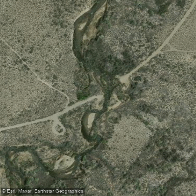
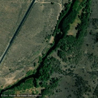
Learn how to get on Rush Creek. Uncover great paddling access points, boat ramps, and all the facilities you need for an unforgettable day on the water. Some locations shown may border or include private property. Always check property boundaries and applicable regulations before visiting. PaddleWays's Public & Private Land layer can help you plan your access with confidence.
Rush Creek Access
Rush Creek Access
Unnamed Lake #17601 Access
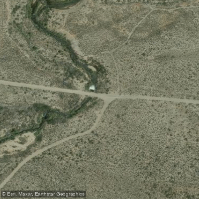
Test Station Road Access
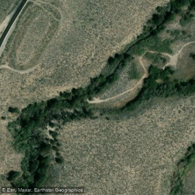
Old State Highway Access
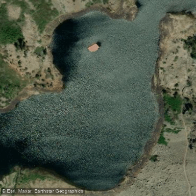
Agnew Lake Access
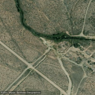
Return Canal Access
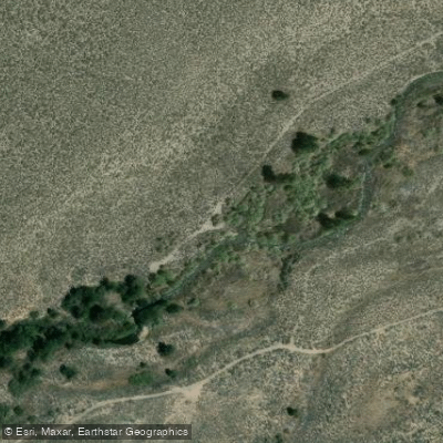
June Lake Loop Access
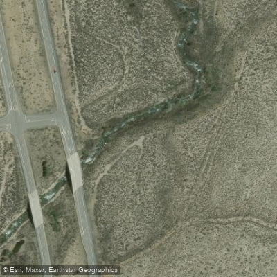
Highway 396 Bridge Access
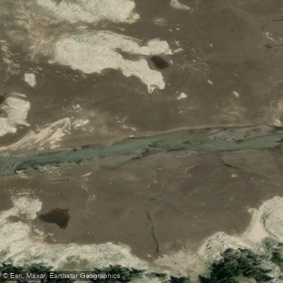
Waugh Reservoir Access
Paddle smarter with real-time insights
Whether you're en route and conditions shift or you're looking for the best spot based on current flows, we enable you to make informed decisions on the fly.








Find Places to Paddle

Over 400,000 Places to Paddle
Every user gets free access to launch points, boat ramps, and public property parcels.


Water and weather conditions (10 day forecast)
See the best times to paddle Rush Creek and check the forecast before you go.
No forecast data available.
Paddling near Rush Creek

Tuolumne River

Merced River
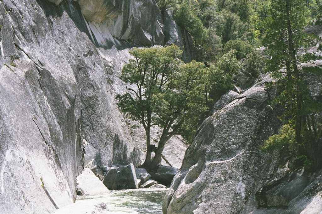
Middle Fork San Joaquin River

San Joaquin River
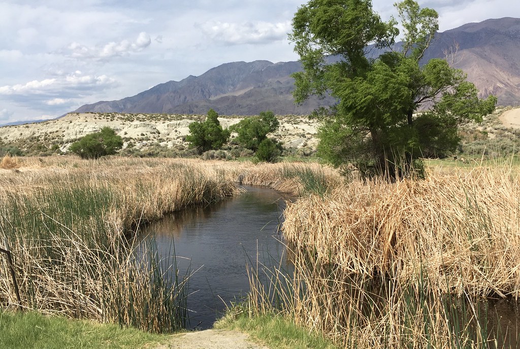
Owens River
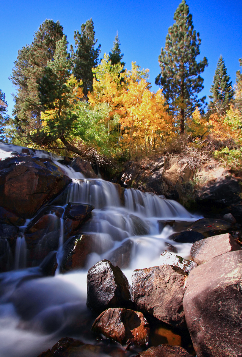
Lee Vining Creek
East Walker River
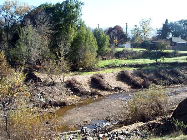
Robinson Creek
South Fork San Joaquin River
Explore California waters
Top paddling waters
Popular Cities
Loading popular cities...
Explore near Rush Creek
Access points
Nearby waters
More in California

Smarter Paddling Starts in the App.
Paddleways gives you everything you need to plan smarter, paddle better, and own every trip from first launch to takeout.