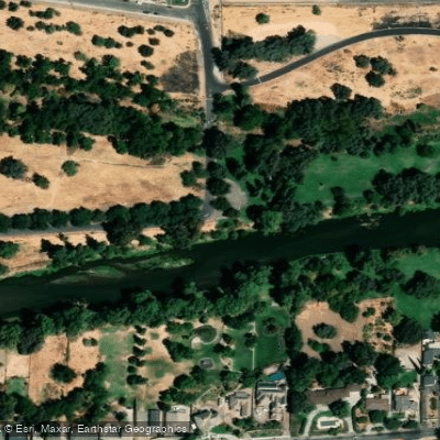
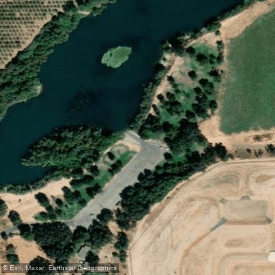
The Tuolumne River is a premier whitewater destination in California, flowing for 149 miles from its headwaters in Yosemite National Park through the Sierra Nevada mountains and into the Central Valley. Known affectionately as "The T" by river enthusiasts, it offers a diverse range of paddling experiences across several distinct sections.
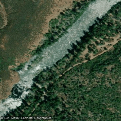
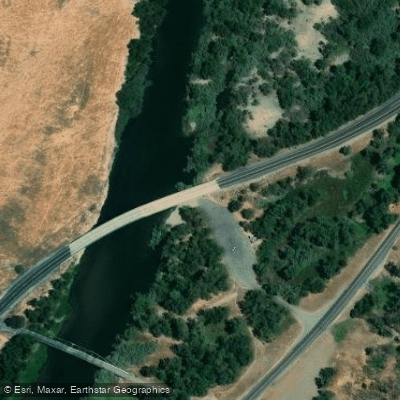
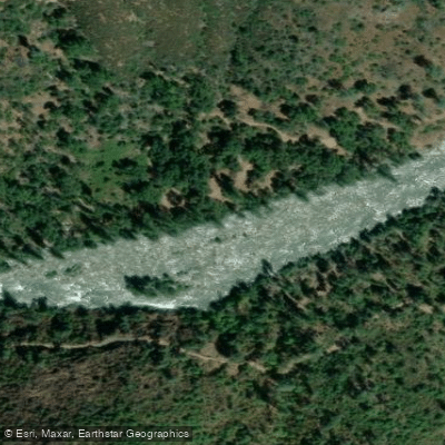
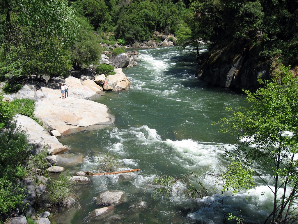
The river's most popular whitewater run is the 18-mile stretch from Meral's Pool to Ward's Ferry Bridge, featuring exhilarating Class IV rapids that challenge intermediate to advanced paddlers. This section, often referred to as the Main Tuolumne, winds through a beautiful foothill canyon and typically takes a full day to complete.
For those seeking the ultimate thrill, the upstream Cherry Creek section (also called the Upper Tuolumne) offers 9 miles of intense Class V whitewater, considered one of the most difficult commercially run rivers in the United States. For less experienced paddlers or those looking for a more relaxed experience, the Lower Tuolumne below La Grange offers gentler Class I-II waters. The South Fork Tuolumne provides a shorter but exciting Class IV-V run, while the scenic Grand Canyon of the Tuolumne within Yosemite National Park is primarily known for its backpacking opportunities rather than paddling.
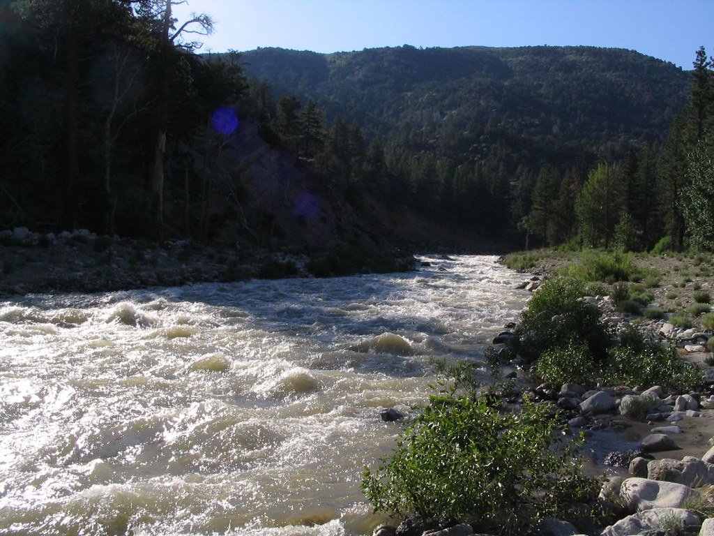
The Tuolumne's paddling season typically runs from spring through early fall, with peak flows occurring during the snowmelt in late spring and early summer. The river is dam-controlled, ensuring consistent water levels throughout much of the season. However, high water conditions in spring can increase the difficulty and risk, making the river suitable only for expert paddlers during this time.
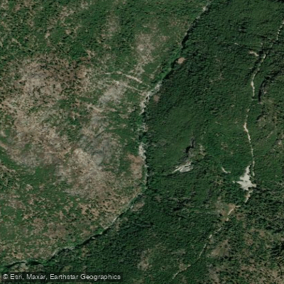
The river corridor is home to a diverse array of wildlife, including bald eagles, river otters, and black bears. The landscape transitions from high alpine meadows and forests in the upper reaches to oak-studded foothills and finally to the valley floor. Wildflowers put on a spectacular show in spring, particularly in areas like Poopenaut Valley.
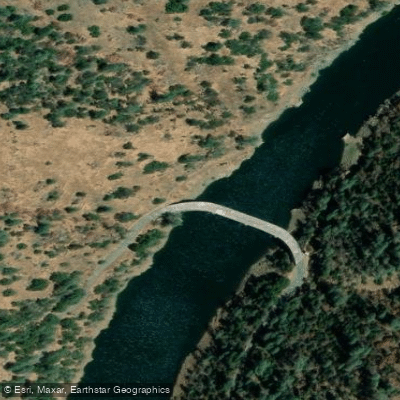
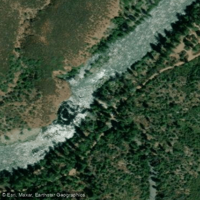
Notable landmarks along the Tuolumne include the O'Shaughnessy Dam at Hetch Hetchy Reservoir, the historic gold rush town of La Grange, and numerous impressive rapids such as Clavey Falls on the Main Tuolumne section. The nearby town of Groveland serves as a popular base for river trips, offering amenities and easy access to the put-ins.
The Tuolumne holds significant cultural importance, having been home to Native American tribes for thousands of years before playing a crucial role in California's gold rush era. Today, it continues to be an essential water source for the region while also providing outstanding recreational opportunities.
Safety is paramount on the Tuolumne, with all paddlers required to wear personal flotation devices. Commercial outfitters offer guided trips on various sections, handling logistics such as permits and shuttles. For those planning private trips, it's essential to check current flow levels and obtain the necessary permits, particularly for overnight journeys.
Multi-day trips are popular on the Main Tuolumne, with numerous scenic campsites along the river. These extended adventures allow paddlers to fully immerse themselves in the river's beauty and tackle the whitewater at a more relaxed pace. Whether you're seeking an adrenaline-pumping day trip or a serene multi-day float, the Tuolumne River offers a quintessential California paddling experience for a wide range of skill levels and interests.