Lee Vining Creek
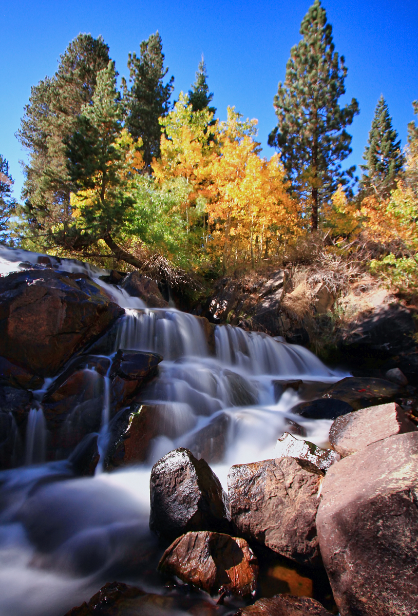
Lee Vining Creek
- Boat Ramps
- 0
- Access Points
- 6
- Campsites
- 11
Lee Vining Creek is a scenic 16.2-mile stream located in Mono County, California. Originating in the high elevations of the eastern Sierra Nevada mountains, the creek flows eastward through Lee Vining Canyon before emptying into Mono Lake. This picturesque waterway is a vital part of the Mono Lake watershed and plays a crucial role in the region's ecosystem.
While not primarily known as a paddling destination, Lee Vining Creek offers diverse recreational opportunities. The lower sections near Mono Lake provide flatwater paddling experiences, while upper reaches may present more challenging conditions depending on seasonal flows. Paddlers should be prepared for varying difficulty levels, from calm flatwater to potential Class II rapids in certain sections. The creek is best explored from late spring through early fall when water levels are most favorable. However, visitors should be aware that afternoon winds can pick up, especially near Mono Lake, making morning paddles preferable. The surrounding landscape transforms beautifully with the seasons, offering spectacular fall colors that attract photographers and nature enthusiasts.
Lee Vining Creek supports a rich ecosystem, home to various fish species including brown and brook trout, making it popular among anglers. The riparian corridor hosts diverse wildlife, including birds of prey like ospreys, which nest near the water. Key landmarks along the creek include the Lee Vining Creek Trail, a 2.3-mile hiking path that offers excellent views of both the creek and Mono Lake. The Poole Power Plant Road provides access to several campgrounds nestled along the creek's banks, including Aspen Campground and Moraine Campground.
Access to Lee Vining Creek is primarily via Highway 120, which runs parallel to the waterway as it ascends from Highway 395 towards Tioga Pass and Yosemite National Park. The town of Lee Vining serves as the main gateway, offering services and information for visitors exploring the creek and surrounding areas.
Historically, Lee Vining Creek has been significant for water management in the region, with diversions affecting its flow and the level of Mono Lake. Ongoing restoration efforts aim to balance human needs with ecological preservation. Safety considerations include being prepared for rapid weather changes typical of mountain environments and respecting the fragile ecosystem. Paddlers should also be aware of the unique chemistry of Mono Lake, where the creek terminates, as its high salinity can affect equipment and skin.
While multi-day paddling trips on Lee Vining Creek itself are limited due to its length, the creek can be part of a broader exploration of the Mono Basin, including Mono Lake and nearby waterways, offering a rich experience of this distinctive Eastern Sierra landscape.
Water access, boat ramps & amenities
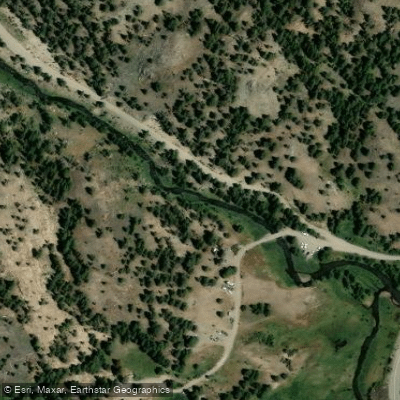
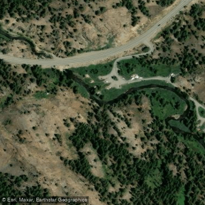
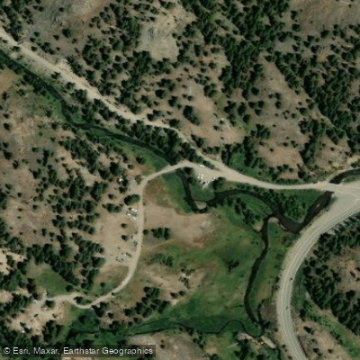
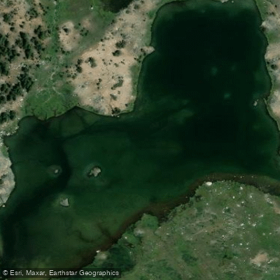
Learn how to get on Lee Vining Creek. Uncover great paddling access points, boat ramps, and all the facilities you need for an unforgettable day on the water. Some locations shown may border or include private property. Always check property boundaries and applicable regulations before visiting. PaddleWays's Public & Private Land layer can help you plan your access with confidence.
Paddle smarter with real-time insights
Whether you're en route and conditions shift or you're looking for the best spot based on current flows, we enable you to make informed decisions on the fly.








Find Places to Paddle

Over 400,000 Places to Paddle
Every user gets free access to launch points, boat ramps, and public property parcels.


Water and weather conditions (10 day forecast)
See the best times to paddle Lee Vining Creek and check the forecast before you go.
No forecast data available.
Paddling near Lee Vining Creek

Tuolumne River

Merced River
Middle Fork San Joaquin River

San Joaquin River
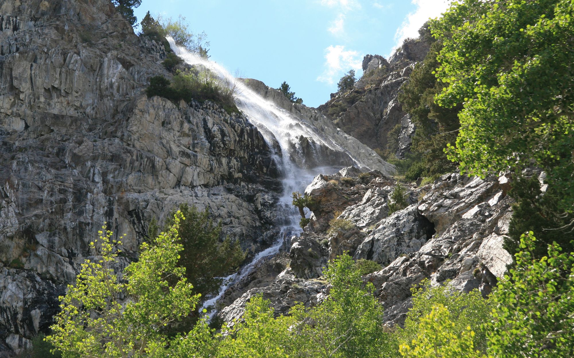
Rush Creek
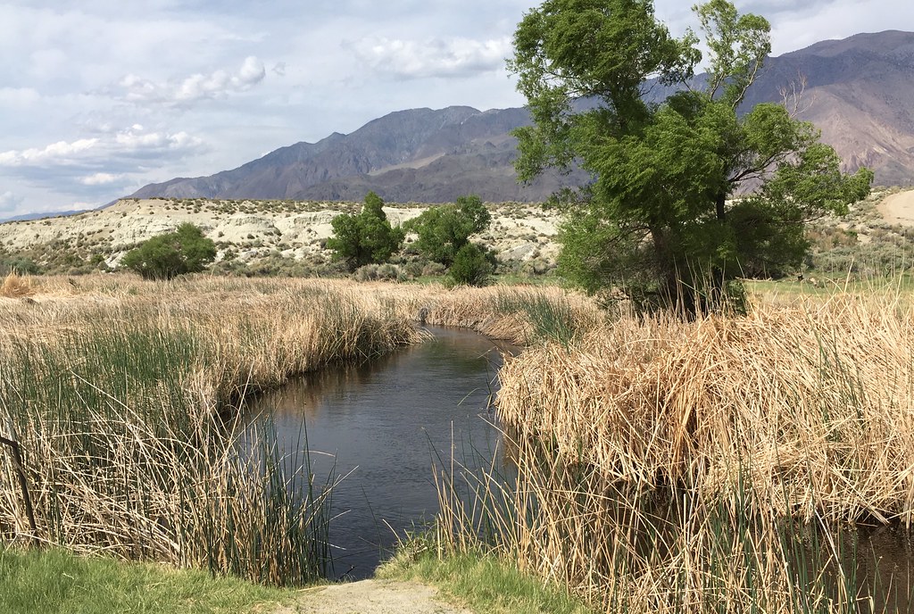
Owens River
East Walker River
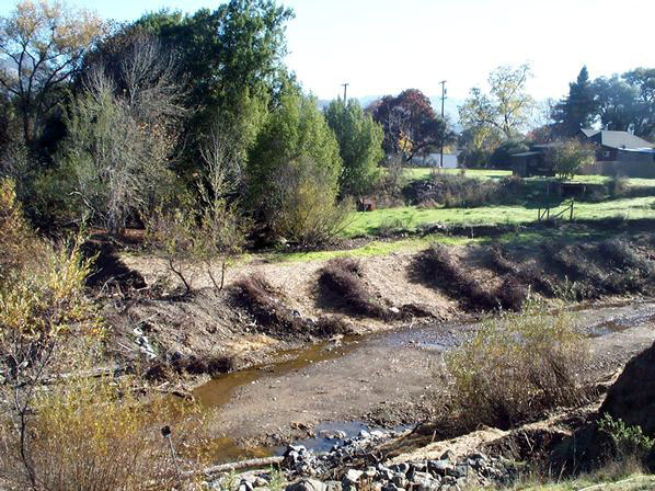
Robinson Creek
South Fork San Joaquin River
Explore California waters
Top paddling waters
Popular Cities
Loading popular cities...
Explore near Lee Vining Creek
Access points
Nearby waters
More in California

Smarter Paddling Starts in the App.
Paddleways gives you everything you need to plan smarter, paddle better, and own every trip from first launch to takeout.