Owens River
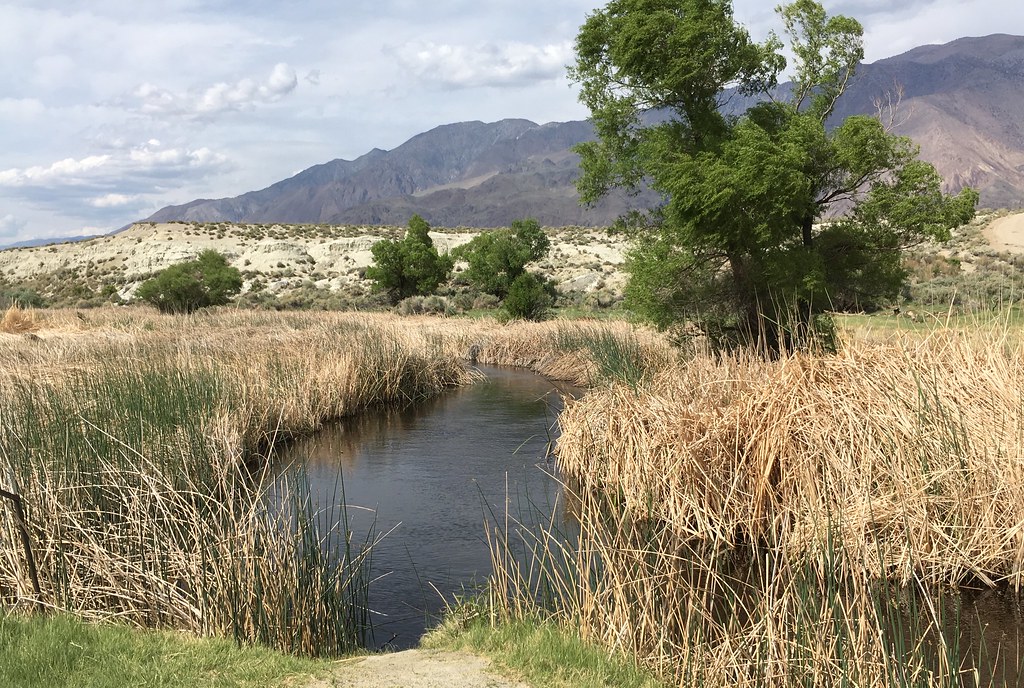
Owens River
- Boat Ramps
- 5
- Access Points
- 27
- Campsites
- 27
The Owens River is a significant waterway in eastern California, originating in the Sierra Nevada mountains and flowing southeast through the Owens Valley. This 183-mile long river is a vital part of the Great Basin watershed, eventually terminating at Owens Lake. The river offers diverse paddling opportunities, with the Lower Owens River being particularly popular for flatwater kayaking, canoeing, and stand-up paddleboarding. The river is generally calm and suitable for beginners, with difficulty levels ranging from flatwater to occasional Class I rapids.
Notable paddling sections include: 1. The Lower Owens River near Bishop, offering a serene 3-5 mile float with excellent fishing opportunities. 2. The Owens River Water Trail, a unique 6.3-mile stretch near Lone Pine, dedicated solely to non-motorized watercraft. 3. The Pleasant Valley Reservoir to Five Bridges Road section, which includes a designated Wild Trout area popular among anglers.
The best times for paddling are typically spring through fall, with water levels and flow rates varying seasonally. Snowmelt in late spring can increase water levels and current speeds.
The river's ecosystem is thriving, providing rich wildlife viewing opportunities. Paddlers can expect to see a variety of bird species, and the river is renowned for its brown trout population. The surrounding landscape offers stunning views of the Sierra Nevada mountains and the scenic Owens Valley.
Key access points include: - Near Bishop for the Lower Owens River float - Pleasant Valley Campground for the Wild Trout section - Near Lone Pine for the Owens River Water Trail
The Owens River holds significant historical and cultural importance, playing a crucial role in the controversial Los Angeles Aqueduct project. Today, efforts are underway to restore and preserve the river's ecosystem while balancing recreational use.
Safety considerations include checking current flow rates and being aware of potential submerged obstacles. Some sections have special fishing regulations, such as catch-and-release areas and gear restrictions.
For those interested in multi-day trips, the river offers opportunities to combine paddling with camping at locations like Pleasant Valley Campground. The development of the Owens River Water Trail aims to enhance accessibility, including plans for ADA-compliant put-in and take-out points.
Overall, the Owens River provides a unique paddling experience in the Eastern Sierra, offering a mix of scenic beauty, wildlife encounters, and both recreational and fishing opportunities for visitors of various skill levels.
Water access, boat ramps & amenities
Learn how to get on Owens River. Uncover great paddling access points, boat ramps, and all the facilities you need for an unforgettable day on the water. Some locations shown may border or include private property. Always check property boundaries and applicable regulations before visiting. PaddleWays's Public & Private Land layer can help you plan your access with confidence.
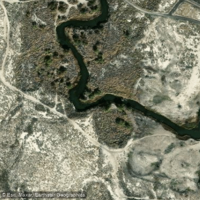
Owens River Access
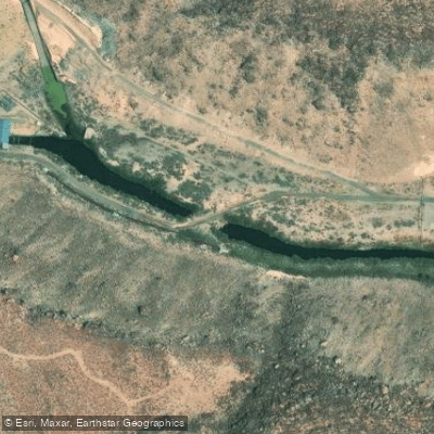
Pleasant Valley Dam Tailwater Access
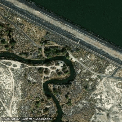
Owens River Access
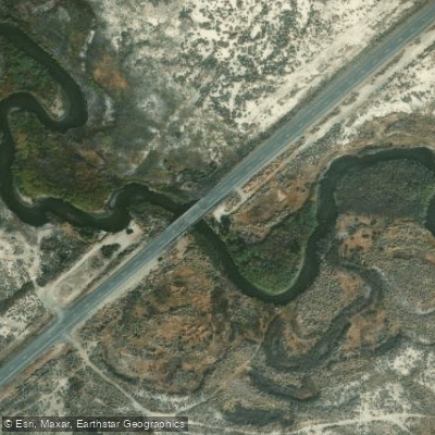
Highway 168 Bridge East Access
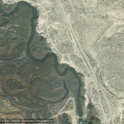
Hike-In Access
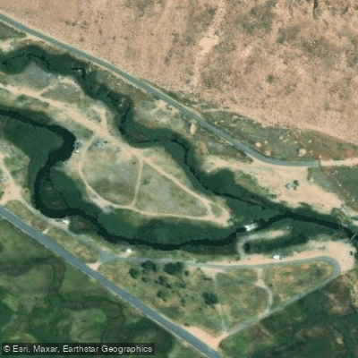
Pleasant Valley Campground Access
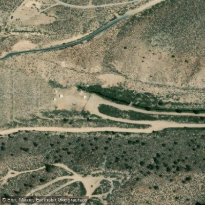
Long Valley Dam Access
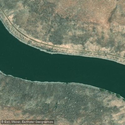
Pleasant Valley Reservoir Access
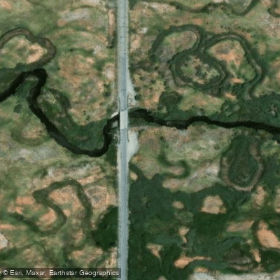
5 Bridges Road Access
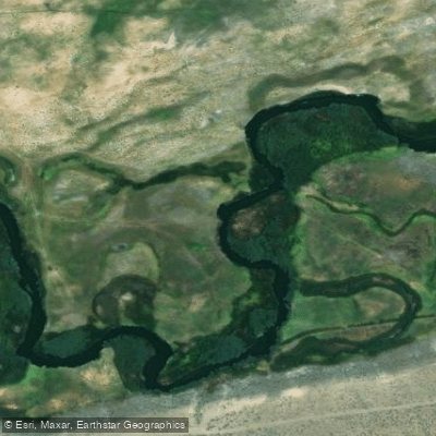
Hike-in Access
Paddle smarter with real-time insights
Whether you're en route and conditions shift or you're looking for the best spot based on current flows, we enable you to make informed decisions on the fly.








Find Places to Paddle

Over 400,000 Places to Paddle
Every user gets free access to launch points, boat ramps, and public property parcels.


Water and weather conditions (10 day forecast)
See the best times to paddle Owens River and check the forecast before you go.
DEADMAN C A BIG SPRINGS NR CRESTVIEW CA
Paddling near Owens River
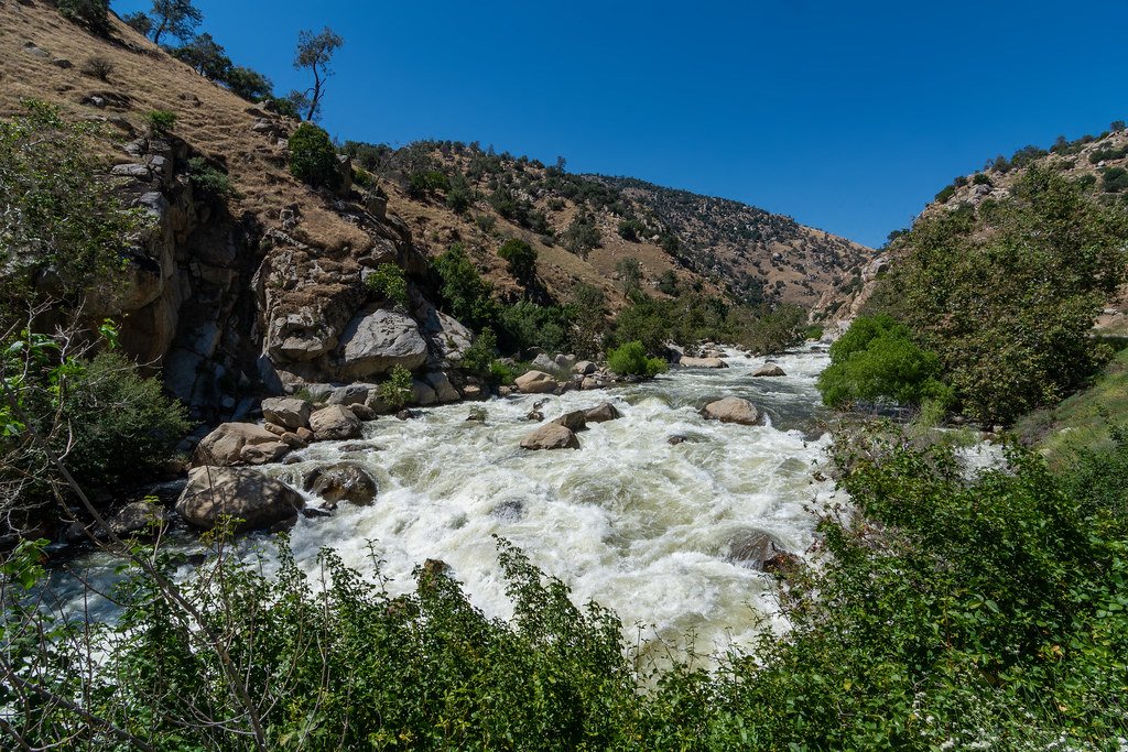
Kern River
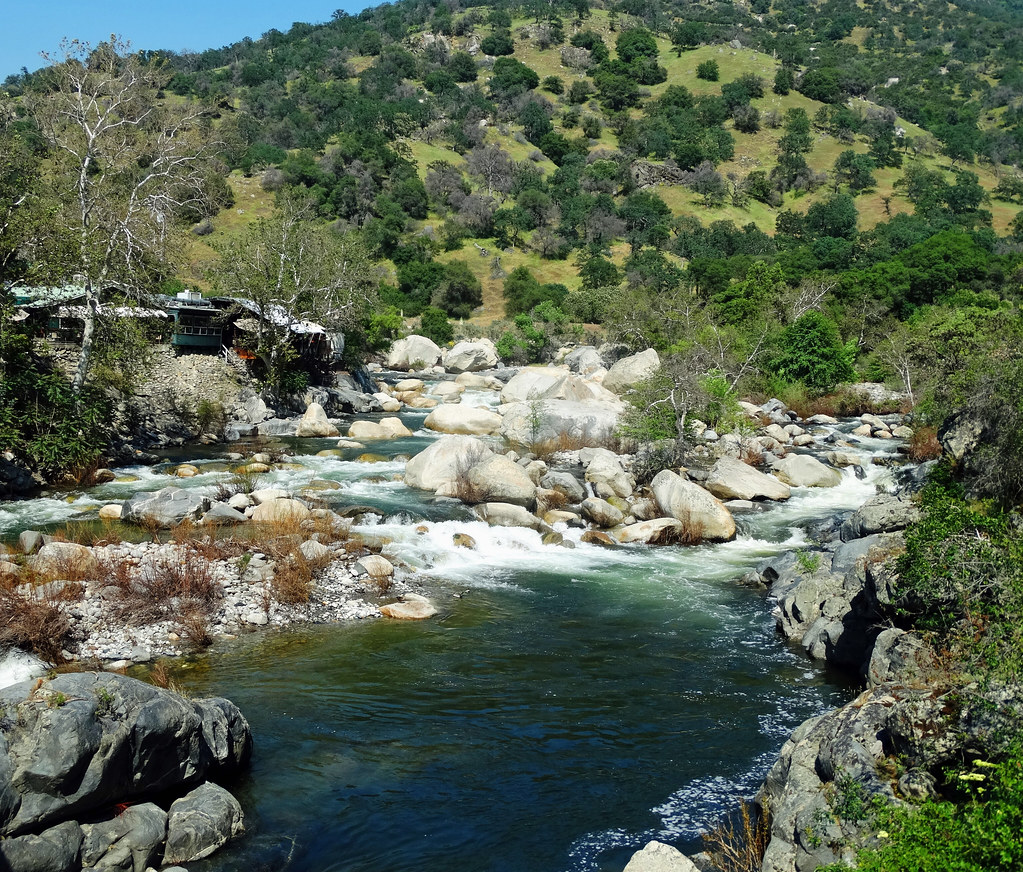
Kaweah River
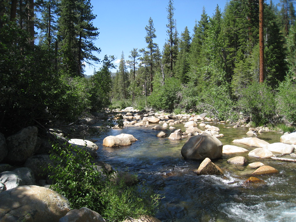
South Fork San Joaquin River
South Fork Bishop Creek
South Fork Kern River
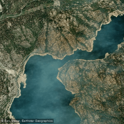
North Fork Kings River
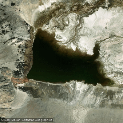
Salt Lake
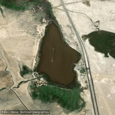
Diaz Lake
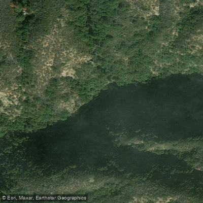
East Fork Kaweah River
Explore California waters
Top paddling waters
Popular Cities
Loading popular cities...
Explore near Owens River
Access points
Nearby waters
More in California

Smarter Paddling Starts in the App.
Paddleways gives you everything you need to plan smarter, paddle better, and own every trip from first launch to takeout.