Klamath River

Klamath River
- Boat Ramps
- 53
- Access Points
- 67
- Campsites
- 83
The Klamath River originates in south-central Oregon and flows southwest for 257 miles through northern California before emptying into the Pacific Ocean. Major tributaries include the Shasta, Scott, Salmon, and Trinity Rivers. The Klamath drains a vast watershed of over 15,000 square miles, encompassing parts of the Cascade Range and Klamath Mountains.
The Klamath offers diverse paddling opportunities, from placid flatwater to challenging whitewater. The Upper Klamath in Oregon features the popular Class IV+ Hell's Corner run. In California, the river transitions to mostly Class II-III rapids interspersed with calm stretches. Notable whitewater sections include the Class III-IV Ikes Run near Somes Bar and the Class IV Big Bend Run. Overall difficulty ranges from beginner-friendly Class I-II floats to expert-level Class IV+ rapids. The Lower Klamath is suitable for intermediate paddlers, while the Upper Klamath demands advanced whitewater skills.
Spring and early summer typically offer the best flows for whitewater. Fall brings excellent conditions for scenic floats amid colorful foliage. The river corridor hosts diverse ecosystems, from high desert to temperate rainforest. Wildlife includes black bears, river otters, ospreys, and bald eagles. The Klamath supports one of the largest salmon runs on the West Coast.
Key landmarks include the dramatic canyon of Kikac��ki (Ward's Canyon), recently revealed by dam removal. Iron Gate Dam site and Copco Valley are also points of interest. Primary access points include Spring Island and Keno in Oregon, and Happy Camp and Orleans in California.
The Klamath holds immense cultural significance for Native American tribes, particularly the Yurok, Karuk, and Klamath. It has been a vital source of salmon and a spiritual center for thousands of years.
Safety considerations include cold water, remote stretches with limited access, and potentially hazardous rapids. Personal flotation devices are required. Multi-day trips are popular on the Lower Klamath, with numerous campsites available along the banks.
The recent removal of four dams has opened up new paddling opportunities and is restoring the river's ecology. This historic project makes the Klamath an exciting destination for paddlers to explore a river in transition.
Water access, boat ramps & amenities
Learn how to get on Klamath River. Uncover great paddling access points, boat ramps, and all the facilities you need for an unforgettable day on the water. Some locations shown may border or include private property. Always check property boundaries and applicable regulations before visiting. PaddleWays's Public & Private Land layer can help you plan your access with confidence.
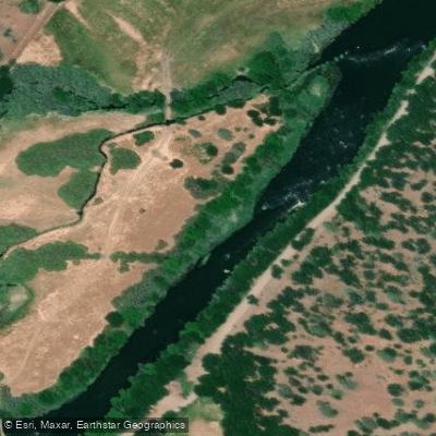
Klamath River, Upper Access
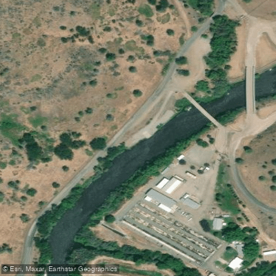
Iron Gate Dam Access
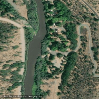
Tree of Heaven Campground Access
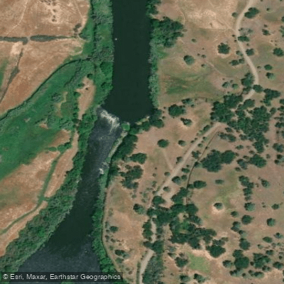
Pacific Corps Access
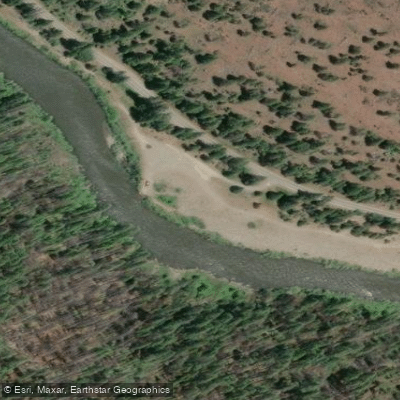
Sluice Box Access
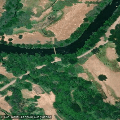
Pacific Corp Access
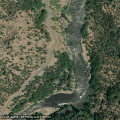
Spring Island Day Use Area Access
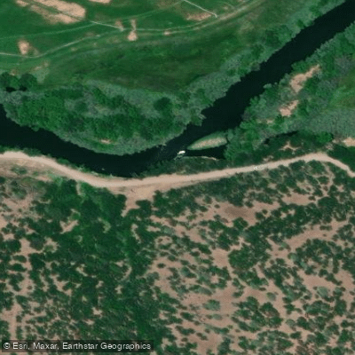
Pacific Corp Access
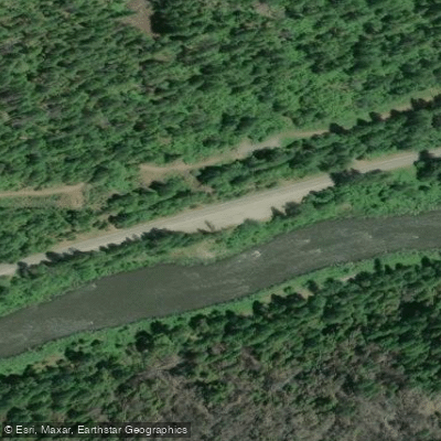
Route 96 Access
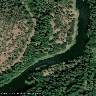
Turtle Camp Access
Paddle smarter with real-time insights
Whether you're en route and conditions shift or you're looking for the best spot based on current flows, we enable you to make informed decisions on the fly.








Find Places to Paddle

Over 400,000 Places to Paddle
Every user gets free access to launch points, boat ramps, and public property parcels.


Water and weather conditions (10 day forecast)
See the best times to paddle Klamath River and check the forecast before you go.
KLAMATH R NR KLAMATH CA
All Flow Stations
Paddling near Klamath River
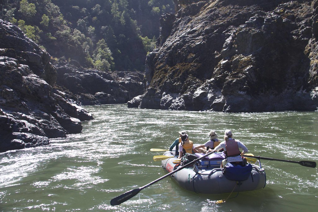
Rogue River
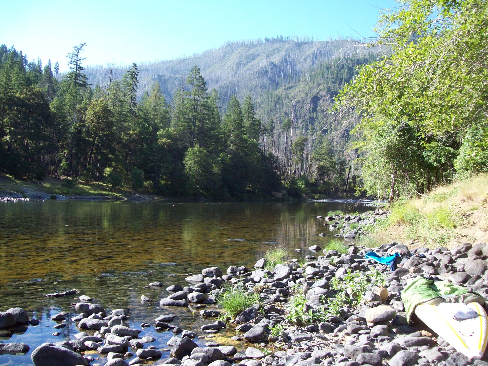
Illinois River
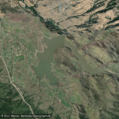
Emigrant Lake
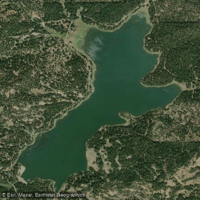
Hyatt Reservoir
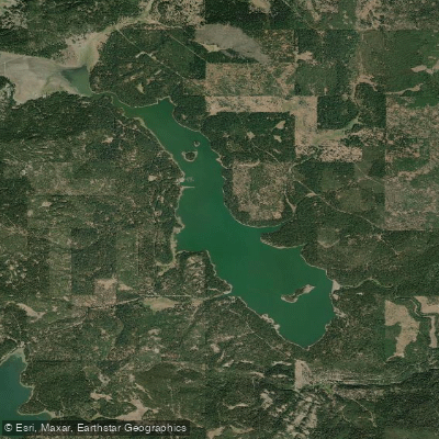
Howard Prairie Lake
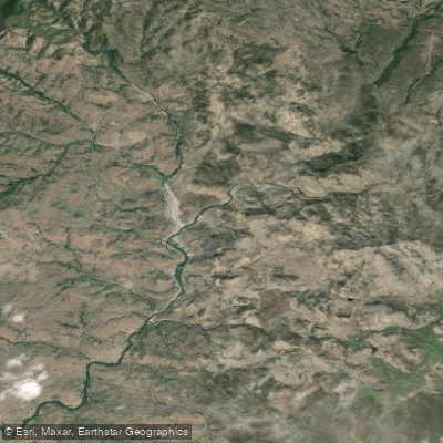
Iron Gate Reservoir
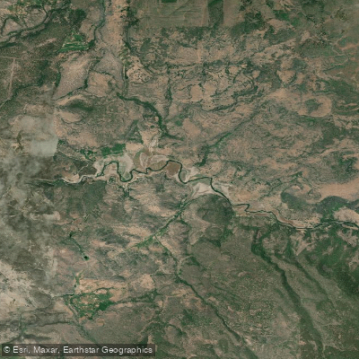
Copco Lake
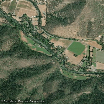
Applegate River
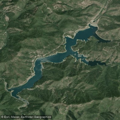
Applegate Lake
Explore California waters
Top paddling waters
Popular Cities
Loading popular cities...
Explore near Klamath River
Access points
Nearby waters
More in California

Smarter Paddling Starts in the App.
Paddleways gives you everything you need to plan smarter, paddle better, and own every trip from first launch to takeout.