Lake Casitas
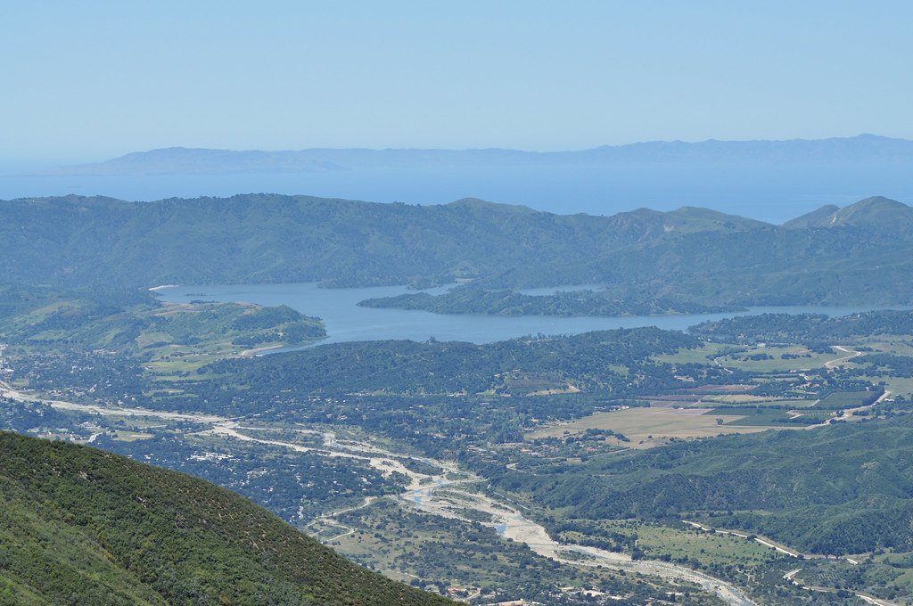
Lake Casitas
- Boat Ramps
- 0
- Access Points
- 2
- Campsites
- 8
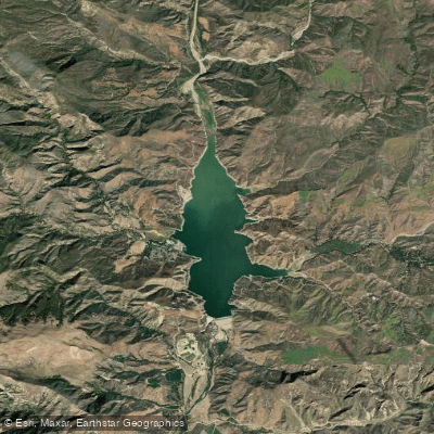
Lake Casitas is a 2,700-acre reservoir in Southern California with 32 miles of shoreline, offering a unique paddling experience. Body contact with the water is prohibited, resulting in a clean, uncrowded environment free from jet skis, swimmers, and water skiers. The lake is known for its beauty, tranquility, and excellent fishing opportunities.
Paddlers will find many launch sites, including sandy areas accessible by vehicle. The lake's west side near Casitas Water Adventure is ideal for kayaking, with calm waters perfect for gliding and taking in the scenery. Afternoon winds are common, creating waves and swells that are manageable for typical recreational kayaks.
Wildlife viewing is a highlight, with abundant waterfowl along the clean banks. The lake once held the California state record for largemouth bass (21 pounds, 3 ounces), making it popular among anglers. Other fish species include catfish and trout.
Facilities include over 400 developed campsites, picnic areas, hiking trails, and a water playground. A snack bar, restaurant, grocery store, and bait and tackle shop are available. The lake area also offers bicycle rentals and a disc golf course.
The entrance fee for a vehicle with two kayaks is $12.50 per day. The Casitas Recreation Area manages the lake and can be contacted at 805-649-2233 for current information on fees and regulations.
After paddling, visitors can explore the nearby town of Ojai, known for its quaint, rural charm and shopping opportunities. Lake Casitas provides a peaceful paddling experience with minimal watercraft traffic, despite potentially crowded shoreline conditions.
Water access, boat ramps & amenities
Learn how to get on Lake Casitas. Uncover great paddling access points, boat ramps, and all the facilities you need for an unforgettable day on the water. Some locations shown may border or include private property. Always check property boundaries and applicable regulations before visiting. PaddleWays's Public & Private Land layer can help you plan your access with confidence.
Paddle smarter with real-time insights
Whether you're en route and conditions shift or you're looking for the best spot based on current flows, we enable you to make informed decisions on the fly.








Find Places to Paddle

Over 400,000 Places to Paddle
Every user gets free access to launch points, boat ramps, and public property parcels.


Water and weather conditions (10 day forecast)
See the best times to paddle Lake Casitas and check the forecast before you go.
No forecast data available.
Paddling near Lake Casitas

Explore California waters
Top paddling waters
Popular Cities
Loading popular cities...
Explore near Lake Casitas
Access points
Nearby waters
More in California

Smarter Paddling Starts in the App.
Paddleways gives you everything you need to plan smarter, paddle better, and own every trip from first launch to takeout.